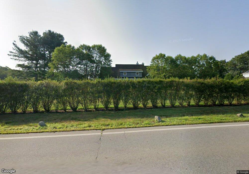
232 River Rd Andover, MA 01810
Far West Andover NeighborhoodEstimated Value: $1,097,000 - $1,501,000
2
Beds
3
Baths
3,818
Sq Ft
$354/Sq Ft
Est. Value
About This Home
This home is located at 232 River Rd, Andover, MA 01810 and is currently estimated at $1,352,219, approximately $354 per square foot. 232 River Rd is a home with nearby schools including High Plain Elementary School, Wood Hill Middle School, and Andover High School.
Create a Home Valuation Report for This Property
The Home Valuation Report is an in-depth analysis detailing your home's value as well as a comparison with similar homes in the area
Home Values in the Area
Average Home Value in this Area
Tax History
| Year | Tax Paid | Tax Assessment Tax Assessment Total Assessment is a certain percentage of the fair market value that is determined by local assessors to be the total taxable value of land and additions on the property. | Land | Improvement |
|---|---|---|---|---|
| 2024 | $15,086 | $1,171,300 | $444,700 | $726,600 |
| 2023 | $14,652 | $1,072,600 | $413,400 | $659,200 |
| 2022 | $13,777 | $943,600 | $353,300 | $590,300 |
| 2021 | $13,279 | $868,500 | $322,800 | $545,700 |
| 2020 | $12,792 | $852,200 | $315,400 | $536,800 |
| 2019 | $12,425 | $813,700 | $285,800 | $527,900 |
| 2018 | $11,863 | $758,500 | $270,500 | $488,000 |
| 2017 | $11,406 | $751,400 | $265,700 | $485,700 |
| 2016 | $11,179 | $754,300 | $265,700 | $488,600 |
| 2015 | $10,537 | $703,900 | $256,100 | $447,800 |
Source: Public Records
Map
Nearby Homes
- 2 Deerberry Ln
- 2 Greybirch Rd
- 322 River Rd
- 21 Greybirch Rd
- 46 Hopkins Cir
- 18 Ravens Bluff
- 136 Chandler Rd
- 29 Stoneybrook Cir
- 2 Boardwalk Dr
- 2 Weeping Willow Dr
- 8 Ashford Ln
- 4 Weeping Willow Dr
- 5 Weeping Willow Dr
- 17 Horseshoe Rd
- 9 Oakland Rd
- 44 Wilshire Cir
- 71 N Lowell St
- 5 Crestwood Cir
- 945 Riverside Dr Unit 5B
- 945 Riverside Dr Unit 8A
Your Personal Tour Guide
Ask me questions while you tour the home.