232 State Highway 39 Aurora, MO 65605
Estimated Value: $273,002 - $414,000
3
Beds
2
Baths
3,294
Sq Ft
$102/Sq Ft
Est. Value
About This Home
This home is located at 232 State Highway 39, Aurora, MO 65605 and is currently estimated at $336,001, approximately $102 per square foot. 232 State Highway 39 is a home with nearby schools including Pate Early Childhood Center, Robinson Elementary School, and Robinson Intermediate School.
Ownership History
Date
Name
Owned For
Owner Type
Purchase Details
Closed on
Jul 9, 2020
Sold by
Sparks Jodie B and Sparks Michele L
Bought by
Galloway Jesse T and Galloway Kimberlin S
Current Estimated Value
Home Financials for this Owner
Home Financials are based on the most recent Mortgage that was taken out on this home.
Original Mortgage
$142,500
Outstanding Balance
$126,077
Interest Rate
3.1%
Mortgage Type
New Conventional
Estimated Equity
$209,924
Purchase Details
Closed on
Jun 2, 2016
Sold by
Williams Schmidt Leola B
Bought by
Sparks Jodie B and Sparks Michele L
Home Financials for this Owner
Home Financials are based on the most recent Mortgage that was taken out on this home.
Original Mortgage
$145,000
Interest Rate
3.75%
Mortgage Type
New Conventional
Create a Home Valuation Report for This Property
The Home Valuation Report is an in-depth analysis detailing your home's value as well as a comparison with similar homes in the area
Home Values in the Area
Average Home Value in this Area
Purchase History
| Date | Buyer | Sale Price | Title Company |
|---|---|---|---|
| Galloway Jesse T | -- | Great American Title | |
| Sparks Jodie B | -- | Great American Title |
Source: Public Records
Mortgage History
| Date | Status | Borrower | Loan Amount |
|---|---|---|---|
| Open | Galloway Jesse T | $142,500 | |
| Previous Owner | Sparks Jodie B | $145,000 |
Source: Public Records
Tax History Compared to Growth
Tax History
| Year | Tax Paid | Tax Assessment Tax Assessment Total Assessment is a certain percentage of the fair market value that is determined by local assessors to be the total taxable value of land and additions on the property. | Land | Improvement |
|---|---|---|---|---|
| 2025 | $973 | $22,002 | $3,002 | $19,000 |
| 2024 | $973 | $20,292 | $3,002 | $17,290 |
| 2023 | $969 | $20,292 | $3,002 | $17,290 |
| 2022 | $947 | $19,817 | $2,527 | $17,290 |
| 2021 | $935 | $19,437 | $2,147 | $17,290 |
| 2020 | $935 | $19,437 | $2,147 | $17,290 |
| 2018 | $920 | $19,437 | $2,147 | $17,290 |
| 2017 | $919 | $19,437 | $2,147 | $17,290 |
| 2016 | $851 | $17,153 | $1,212 | $15,941 |
| 2015 | -- | $52,545 | $4,668 | $47,877 |
| 2012 | -- | $0 | $0 | $0 |
Source: Public Records
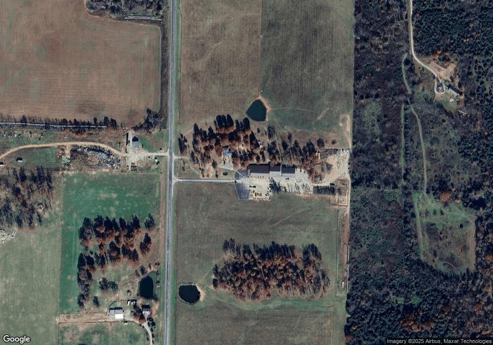
Map
Nearby Homes
- 1967 Cattle Dr
- 23105 Lawrence 1200
- 18371 Lawrence 2230
- 000 Farm Road 2000
- 302 E Dyer St Unit 1
- 000 Lawrence 2230
- 17590 Lawrence 2240
- 000 Highway 60 Unit Tract 1
- Tract 2 Farm Rd 1200
- 00 Farm Road 1200
- 19038 Farm Road 2020
- 000 Farm Road 1200
- Tract 1 Farm Rd 2020 & 1200
- 1757 Farm Road 1200
- 16427 Farm Road 2007
- 000 Lawrence 1200 A
- 000 Lawrence 1200 B
- 22965 Lawrence 1210
- 22733 Lawrence 1210
- 1600 S Engle St Unit LOT 94
- 248 State Highway 39
- 19289 Farm Road 2000
- 23967 Highway 39
- 18947 Farm Road 2000
- 116 Silver Maple Dr
- 106 Silver Maple Dr
- 102 Silver Maple Dr
- 114 Silver Maple Dr
- 112 Silver Maple Dr
- 104 Silver Maple Dr
- 110 Silver Maple Dr
- 113 Silver Maple Dr
- 115 Silver Maple Dr
- 111 Silver Maple Dr
- 109 Silver Maple Dr
- 117 Silver Maple Dr
- 118 Silver Maple Dr
- 119 Silver Maple Dr
- 121 Silver Maple Dr
- 123 Silver Maple Dr