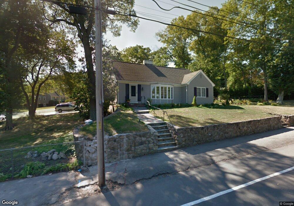
232 West St Unit 1 Braintree, MA 02184
North Braintree NeighborhoodEstimated Value: $1,035,000 - $1,192,000
2
Beds
1
Bath
821
Sq Ft
$1,346/Sq Ft
Est. Value
About This Home
This home is located at 232 West St Unit 1, Braintree, MA 02184 and is currently estimated at $1,104,692, approximately $1,345 per square foot. 232 West St Unit 1 is a home located in Norfolk County with nearby schools including Braintree High School, Meeting House Montessori School, and Thayer Academy.
Ownership History
Date
Name
Owned For
Owner Type
Purchase Details
Closed on
Sep 25, 2023
Sold by
Lawrence Sabita
Bought by
Mom Of Dreams Lt and Lawrence
Current Estimated Value
Purchase Details
Closed on
Sep 25, 2014
Sold by
Pattavina Vincent
Bought by
Mcniff Kevin F and Mcniff Elizabeth R
Create a Home Valuation Report for This Property
The Home Valuation Report is an in-depth analysis detailing your home's value as well as a comparison with similar homes in the area
Home Values in the Area
Average Home Value in this Area
Purchase History
| Date | Buyer | Sale Price | Title Company |
|---|---|---|---|
| Mom Of Dreams Lt | -- | None Available | |
| Mcniff Kevin F | -- | -- |
Source: Public Records
Tax History Compared to Growth
Tax History
| Year | Tax Paid | Tax Assessment Tax Assessment Total Assessment is a certain percentage of the fair market value that is determined by local assessors to be the total taxable value of land and additions on the property. | Land | Improvement |
|---|---|---|---|---|
| 2025 | $9,087 | $910,500 | $374,000 | $536,500 |
| 2024 | $7,974 | $841,100 | $331,300 | $509,800 |
| 2023 | $7,630 | $781,800 | $299,200 | $482,600 |
| 2022 | $8,224 | $826,500 | $277,800 | $548,700 |
| 2021 | $7,553 | $759,100 | $256,500 | $502,600 |
| 2020 | $7,274 | $737,700 | $235,100 | $502,600 |
| 2019 | $7,030 | $696,700 | $235,100 | $461,600 |
| 2018 | $6,924 | $656,900 | $213,700 | $443,200 |
| 2017 | $6,741 | $627,700 | $203,000 | $424,700 |
| 2016 | $6,640 | $604,700 | $192,300 | $412,400 |
| 2015 | $6,539 | $590,700 | $190,200 | $400,500 |
| 2014 | $6,131 | $536,900 | $168,800 | $368,100 |
Source: Public Records
Map
Nearby Homes
- 175 West St
- 29 Norton St
- 305 Franklin St
- 17 Judson St
- 78 Windemere Cir
- 10 Cochato Rd
- 37 Monatiquot Ave
- 64 Alfred Rd
- 53 Parkside Ave
- 491 Washington St Unit 1
- 47 Addison St
- 63 Dickerman Ln
- 146 Eleanor Dr
- 65 Tremont St
- 17 Royal Lake Dr Unit 4
- 150 Elm St Unit 1
- 8 Vinton Ave Unit 10
- 6 Franklin St
- 14-20 Randall Ave
- 26 Sherman Rd