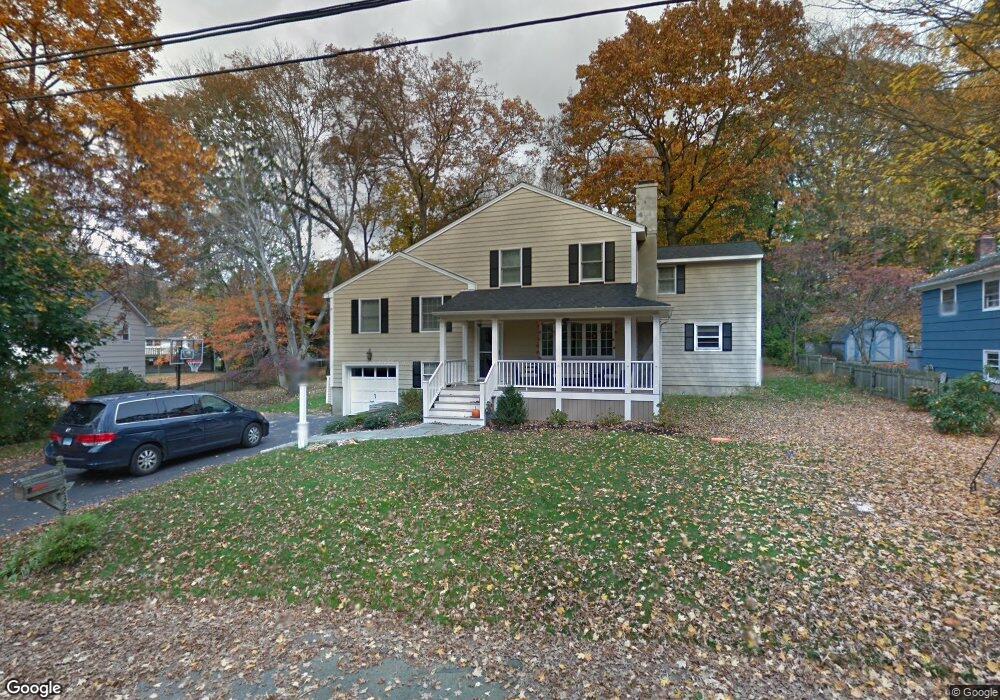
232 Woods End Rd Fairfield, CT 06824
University NeighborhoodEstimated Value: $864,000 - $1,161,000
4
Beds
3
Baths
2,118
Sq Ft
$481/Sq Ft
Est. Value
About This Home
This home is located at 232 Woods End Rd, Fairfield, CT 06824 and is currently estimated at $1,019,608, approximately $481 per square foot. 232 Woods End Rd is a home located in Fairfield County with nearby schools including Riverfield Elementary School, Roger Ludlowe Middle School, and Fairfield Ludlowe High School.
Ownership History
Date
Name
Owned For
Owner Type
Purchase Details
Closed on
Aug 18, 2003
Sold by
Elmdorf Donald P and Elmendorf Judith I
Bought by
Granberg Theodore O and Cannon Mary
Current Estimated Value
Create a Home Valuation Report for This Property
The Home Valuation Report is an in-depth analysis detailing your home's value as well as a comparison with similar homes in the area
Home Values in the Area
Average Home Value in this Area
Purchase History
| Date | Buyer | Sale Price | Title Company |
|---|---|---|---|
| Granberg Theodore O | $497,500 | -- | |
| Granberg Theodore O | $497,500 | -- |
Source: Public Records
Mortgage History
| Date | Status | Borrower | Loan Amount |
|---|---|---|---|
| Open | Granberg Theodore O | $446,000 | |
| Closed | Granberg Theodore O | $73,306 | |
| Closed | Granberg Theodore O | $410,000 |
Source: Public Records
Tax History Compared to Growth
Tax History
| Year | Tax Paid | Tax Assessment Tax Assessment Total Assessment is a certain percentage of the fair market value that is determined by local assessors to be the total taxable value of land and additions on the property. | Land | Improvement |
|---|---|---|---|---|
| 2025 | $12,295 | $433,090 | $304,780 | $128,310 |
| 2024 | $12,083 | $433,090 | $304,780 | $128,310 |
| 2023 | $11,914 | $433,090 | $304,780 | $128,310 |
| 2022 | $11,797 | $433,090 | $304,780 | $128,310 |
| 2021 | $11,685 | $433,090 | $304,780 | $128,310 |
| 2020 | $11,629 | $434,070 | $301,630 | $132,440 |
| 2019 | $11,629 | $434,070 | $301,630 | $132,440 |
| 2018 | $11,442 | $434,070 | $301,630 | $132,440 |
| 2017 | $11,208 | $434,070 | $301,630 | $132,440 |
| 2016 | $11,047 | $434,070 | $301,630 | $132,440 |
| 2015 | $10,780 | $434,840 | $317,450 | $117,390 |
| 2014 | $10,610 | $434,840 | $317,450 | $117,390 |
Source: Public Records
Map
Nearby Homes
- 66 Adams Rd
- 33 Middlebrook Place
- 338 Orchard Hill Ln
- 44 Deer Run Rd
- 105 Charter Oak Rd
- 25 Millspaugh Dr
- 1207 Stillson Rd
- 1165 Stillson Rd
- 56 Drake Ln
- 1137 Stillson Rd
- 2107 N Benson Rd
- 45 Robin Cir
- 42 Robin Cir
- 359 Reid St
- 254 Sherwood Farm Rd
- 83 Pell Meadow Dr
- 232 Pell Meadow Dr
- 68 Figlar Ave
- 115 Mayfair Rd
- 478 Crestwood Rd
- 250 Woods End Rd
- 218 Woods End Rd
- 202 Woods End Rd
- 97 Carroll Rd
- 211 Woods End Rd
- 119 Carroll Rd
- 163 Carroll Rd
- 196 Woods End Rd
- 177 Carroll Rd
- 216 Lawrence Rd
- 190 Lawrence Rd
- 141 Carroll Rd
- 160 Lawrence Rd
- 183 Woods End Rd
- 146 Lawrence Rd
- 217 Carroll Rd
- 132 Lawrence Rd
- 195 Carroll Rd
- 182 Woods End Rd
- 182 Woods End Rd