232 Worcester Rd Hollis, NH 03049
Hollis NeighborhoodEstimated Value: $732,000 - $842,000
3
Beds
3
Baths
2,608
Sq Ft
$293/Sq Ft
Est. Value
About This Home
This home is located at 232 Worcester Rd, Hollis, NH 03049 and is currently estimated at $763,028, approximately $292 per square foot. 232 Worcester Rd is a home with nearby schools including Hollis Primary School, Hollis Upper Elementary School, and Hollis-Brookline Middle School.
Ownership History
Date
Name
Owned For
Owner Type
Purchase Details
Closed on
Jul 2, 2014
Sold by
Crittenden James F and Crittenden Lizabeth S
Bought by
James & L Crittenden Ft
Current Estimated Value
Purchase Details
Closed on
Jul 31, 1984
Bought by
James & L Crittenden Ft
Create a Home Valuation Report for This Property
The Home Valuation Report is an in-depth analysis detailing your home's value as well as a comparison with similar homes in the area
Home Values in the Area
Average Home Value in this Area
Purchase History
| Date | Buyer | Sale Price | Title Company |
|---|---|---|---|
| James & L Crittenden Ft | -- | -- | |
| James & L Crittenden Ft | $99,000 | -- |
Source: Public Records
Mortgage History
| Date | Status | Borrower | Loan Amount |
|---|---|---|---|
| Previous Owner | James & L Crittenden Ft | $25,000 |
Source: Public Records
Tax History Compared to Growth
Tax History
| Year | Tax Paid | Tax Assessment Tax Assessment Total Assessment is a certain percentage of the fair market value that is determined by local assessors to be the total taxable value of land and additions on the property. | Land | Improvement |
|---|---|---|---|---|
| 2024 | $10,716 | $604,400 | $251,800 | $352,600 |
| 2023 | $10,069 | $604,400 | $251,800 | $352,600 |
| 2022 | $13,641 | $604,400 | $251,800 | $352,600 |
| 2021 | $8,481 | $373,600 | $164,600 | $209,000 |
| 2020 | $8,660 | $373,600 | $164,600 | $209,000 |
| 2019 | $4 | $373,600 | $164,600 | $209,000 |
| 2018 | $1,941 | $373,600 | $164,600 | $209,000 |
| 2017 | $6,592 | $332,200 | $144,600 | $187,600 |
| 2016 | $3 | $332,200 | $144,600 | $187,600 |
| 2015 | $7,647 | $332,200 | $144,600 | $187,600 |
| 2014 | $7,684 | $332,200 | $144,600 | $187,600 |
| 2013 | $7,581 | $332,200 | $144,600 | $187,600 |
Source: Public Records
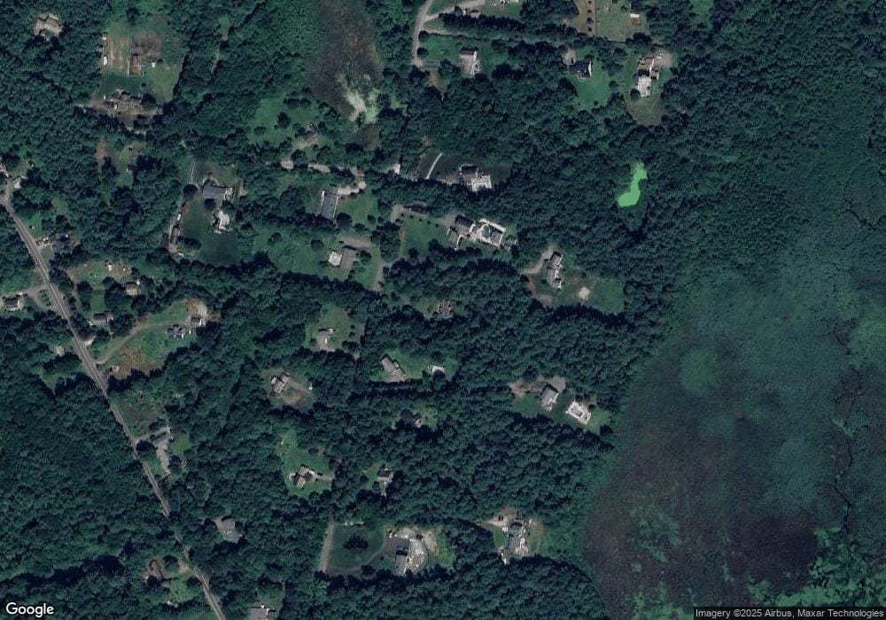
Map
Nearby Homes
- 143 Worcester Rd
- 84 Irene Dr
- 179 Brookline St
- 6 Flint Meadow Dr
- 55 Oak Hill Rd
- 47 Pepperell Rd
- 46 Oak Hill Rd
- 6 High Oaks Path
- 22 Austin Ln
- 23 Austin Ln
- 21 Cranberry St
- 2 Old Farm Ln
- 13 Oak Hill St
- 29 Southgate Rd
- 4-58 Dow Rd
- 194 Dow Rd
- 55 Park St
- 18 Maple St Unit 30
- 46 Brookline St
- 22 Hobart Hill Rd
- 236 Worcester Rd
- 228 Worcester Rd
- 231 Worcester Rd
- 240 Worcester Rd
- 230 Worcester Rd
- 235 Worcester Rd
- 238 Worcester Rd
- 224 Worcester Rd
- 39 Lawrence Ln
- 244 Worcester Rd
- 239 Worcester Rd
- 245 Worcester Rd
- 36 Lawrence Ln
- 246 Worcester Rd
- 248 Worcester Rd
- 218 Worcester Rd
- 29 Lawrence Ln
- 72 W Hollis Rd
- 214 Worcester Rd
- 27 Lawrence Ln