23221 Dill Ave Winsted, MN 55395
Estimated Value: $627,000
5
Beds
1
Bath
1,976
Sq Ft
$317/Sq Ft
Est. Value
About This Home
This home is located at 23221 Dill Ave, Winsted, MN 55395 and is currently estimated at $627,000, approximately $317 per square foot. 23221 Dill Ave is a home located in McLeod County with nearby schools including Winsted Elementary School, Humphrey Elementary School, and Howard Lake-Waverly-Winsted Middle School.
Ownership History
Date
Name
Owned For
Owner Type
Purchase Details
Closed on
Feb 2, 2021
Sold by
Eberle Mark J and Eberle Bobbi J
Bought by
Eberle Mark J and Eberle Bobbi J
Current Estimated Value
Purchase Details
Closed on
Nov 15, 2017
Sold by
Brose Michael Michael
Bought by
Eberle Mark Mark and Eberle Bobbi Bobbi
Home Financials for this Owner
Home Financials are based on the most recent Mortgage that was taken out on this home.
Original Mortgage
$53,200
Interest Rate
3.85%
Mortgage Type
New Conventional
Purchase Details
Closed on
Feb 7, 2017
Sold by
Brose Michael Michael
Bought by
Eberle Mark and Wielinski Nka Bobbi J
Purchase Details
Closed on
Jun 27, 2013
Sold by
Brose Michael G and Brose Michael George
Bought by
Brose Michael J
Purchase Details
Closed on
Jul 21, 2011
Sold by
Brose Francis A and Brose Mark R
Bought by
Brose Michael J
Create a Home Valuation Report for This Property
The Home Valuation Report is an in-depth analysis detailing your home's value as well as a comparison with similar homes in the area
Home Values in the Area
Average Home Value in this Area
Purchase History
| Date | Buyer | Sale Price | Title Company |
|---|---|---|---|
| Eberle Mark J | -- | Mcleod County Abstract & Tit | |
| Eberle Mark Mark | $66,500 | -- | |
| Eberle Mark J | $66,500 | None Available | |
| Eberle Mark | $7,500 | -- | |
| Brose Michael J | -- | -- | |
| Brose Michael J | -- | -- |
Source: Public Records
Mortgage History
| Date | Status | Borrower | Loan Amount |
|---|---|---|---|
| Previous Owner | Eberle Mark J | $53,200 | |
| Previous Owner | Eberle Mark Mark | $66,000 |
Source: Public Records
Tax History Compared to Growth
Tax History
| Year | Tax Paid | Tax Assessment Tax Assessment Total Assessment is a certain percentage of the fair market value that is determined by local assessors to be the total taxable value of land and additions on the property. | Land | Improvement |
|---|---|---|---|---|
| 2024 | $2,554 | $542,700 | $188,500 | $354,200 |
| 2023 | $2,766 | $517,100 | $169,500 | $347,600 |
| 2022 | $1,946 | $467,400 | $151,200 | $316,200 |
| 2021 | $89 | $354,500 | $117,200 | $237,300 |
| 2020 | $1,092 | $112,200 | $107,300 | $4,900 |
| 2019 | $824 | $106,000 | $106,000 | $0 |
| 2018 | $866 | $0 | $0 | $0 |
| 2017 | $68 | $0 | $0 | $0 |
| 2016 | $576 | $0 | $0 | $0 |
| 2015 | $1,774 | $0 | $0 | $0 |
| 2014 | -- | $0 | $0 | $0 |
Source: Public Records
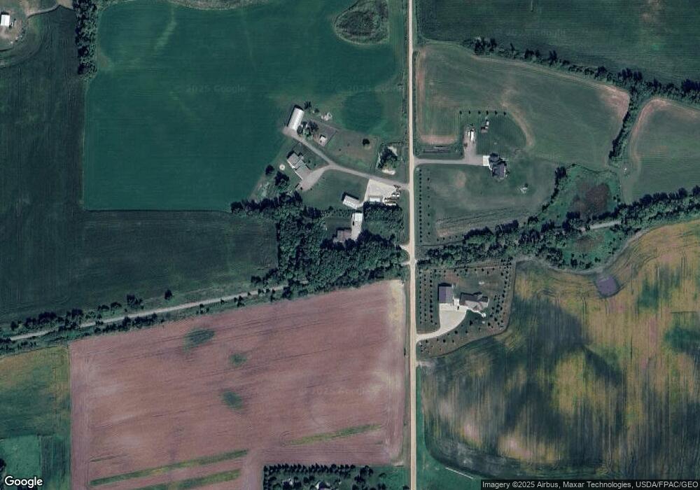
Map
Nearby Homes
- 22504 Flower Rd
- 10864 117th St SW
- 7747 235th St
- 815 Mallard Ave
- 151 8th St S
- 686 Northgate Dr
- 212 Linden Ave W
- 8785 110th St SW
- 124 George Ave E
- 342 Sunfish Ln
- 322 Sunfish Ct
- 316 Sunfish Ln
- 19383 Babcock Ave
- XXX Main St
- 213 Century Ln
- XXXX Route 7
- 223 Maple St N
- 11365 Platt Ave SW
- TBD Platt Ave SW
- 230 Hi Mae Cir