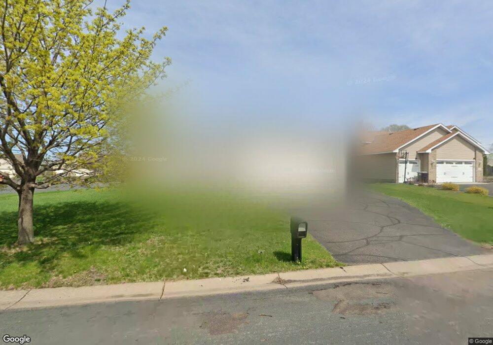
2323 121st Cir NW Coon Rapids, MN 55448
Estimated Value: $402,411 - $425,000
4
Beds
2
Baths
1,259
Sq Ft
$330/Sq Ft
Est. Value
About This Home
This home is located at 2323 121st Cir NW, Coon Rapids, MN 55448 and is currently estimated at $414,853, approximately $329 per square foot. 2323 121st Cir NW is a home located in Anoka County with nearby schools including Lucile Bruner Elementary School, Hoover Elementary School, and Laughlin Junior/Senior High School.
Ownership History
Date
Name
Owned For
Owner Type
Purchase Details
Closed on
Aug 26, 2005
Sold by
Fusco Holly A
Bought by
Green Emmanuel A and Ademola Green Florence I
Current Estimated Value
Purchase Details
Closed on
Sep 6, 2001
Sold by
Shade Tree Construction Inc
Bought by
Fusco Holly A
Create a Home Valuation Report for This Property
The Home Valuation Report is an in-depth analysis detailing your home's value as well as a comparison with similar homes in the area
Home Values in the Area
Average Home Value in this Area
Purchase History
| Date | Buyer | Sale Price | Title Company |
|---|---|---|---|
| Green Emmanuel A | $270,000 | -- | |
| Fusco Holly A | $206,700 | -- | |
| Shade Tree Construction Inc | $55,900 | -- |
Source: Public Records
Tax History Compared to Growth
Tax History
| Year | Tax Paid | Tax Assessment Tax Assessment Total Assessment is a certain percentage of the fair market value that is determined by local assessors to be the total taxable value of land and additions on the property. | Land | Improvement |
|---|---|---|---|---|
| 2025 | $3,955 | $366,500 | $90,300 | $276,200 |
| 2024 | $3,955 | $374,800 | $99,800 | $275,000 |
| 2023 | $3,621 | $366,700 | $86,100 | $280,600 |
| 2022 | $3,247 | $367,900 | $73,500 | $294,400 |
| 2021 | $3,249 | $296,300 | $62,000 | $234,300 |
| 2020 | $3,315 | $289,700 | $66,200 | $223,500 |
| 2019 | $3,086 | $283,400 | $70,400 | $213,000 |
| 2018 | $2,940 | $258,000 | $0 | $0 |
| 2017 | $2,600 | $239,700 | $0 | $0 |
| 2016 | $2,615 | $208,100 | $0 | $0 |
| 2015 | $2,908 | $208,100 | $53,600 | $154,500 |
| 2014 | -- | $188,300 | $52,800 | $135,500 |
Source: Public Records
Map
Nearby Homes
- 12019 Zion St NW
- 2068 124th Ln NW
- 2147 125th Ln NW
- 11749 Crooked Lake Blvd NW
- 1727 121st Ln NW
- 2675 128th Ave NW
- 12365 Jay St NW
- 12760 Raven St NW
- 3074 121st Ave NW
- 11444 Hanson Blvd NW
- 11409 Quinn St NW
- 11424 Hanson Blvd NW
- 1930 127th Cir NW
- 3020 117th Ave NW
- 2862 116th Ave NW
- 12010 Eagle St NW
- 12189 Lily St NW
- 1660 Northdale Blvd NW
- 12554 Grouse St NW
- 12888 Nightingale St NW
- 2307 121st Cir NW
- 2339 121st Cir NW
- 12140 Thrush St NW
- 2318 121st Cir NW
- 2355 121st Cir NW
- 2306 121st Cir NW
- 12154 Thrush St NW
- 2324 121st Cir NW
- 2330 121st Cir NW
- 2348 121st Cir NW
- 2342 121st Cir NW
- 2300 121st Cir NW
- 12168 Thrush St NW
- 12123 Thrush St NW
- 12133 Thrush St NW
- 12188 Thrush St NW
- 12147 Thrush St NW
- 12161 Thrush St NW
- 12175 Thrush St NW
- 12208 Thrush St NW