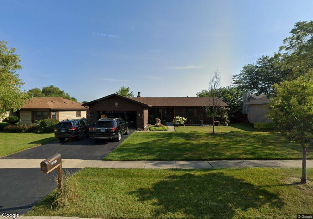
2324 High Point Dr Lindenhurst, IL 60046
Estimated Value: $363,000 - $407,000
3
Beds
2
Baths
1,436
Sq Ft
$266/Sq Ft
Est. Value
About This Home
This home is located at 2324 High Point Dr, Lindenhurst, IL 60046 and is currently estimated at $382,546, approximately $266 per square foot. 2324 High Point Dr is a home located in Lake County with nearby schools including Lakes Community High School.
Ownership History
Date
Name
Owned For
Owner Type
Purchase Details
Closed on
Dec 15, 2023
Sold by
Roesler Linda
Bought by
Lech James L and Lech Catheryn L
Current Estimated Value
Purchase Details
Closed on
Jun 16, 2002
Sold by
Roesler William and Roesler Linda
Bought by
Roesler William and Roesler Linda
Purchase Details
Closed on
Jan 28, 2002
Sold by
Roesler William and Roesler Linda
Bought by
Roesler William and Roesler Linda
Create a Home Valuation Report for This Property
The Home Valuation Report is an in-depth analysis detailing your home's value as well as a comparison with similar homes in the area
Home Values in the Area
Average Home Value in this Area
Purchase History
| Date | Buyer | Sale Price | Title Company |
|---|---|---|---|
| Lech James L | $338,000 | Chicago Title | |
| Roesler William | -- | -- | |
| Roesler William | -- | -- |
Source: Public Records
Tax History
| Year | Tax Paid | Tax Assessment Tax Assessment Total Assessment is a certain percentage of the fair market value that is determined by local assessors to be the total taxable value of land and additions on the property. | Land | Improvement |
|---|---|---|---|---|
| 2024 | $9,606 | $115,866 | $25,289 | $90,577 |
| 2023 | $9,911 | $102,373 | $22,344 | $80,029 |
| 2022 | $9,911 | $97,799 | $27,213 | $70,586 |
| 2021 | $9,389 | $90,849 | $25,279 | $65,570 |
| 2020 | $9,161 | $87,938 | $24,469 | $63,469 |
| 2019 | $9,372 | $84,516 | $23,517 | $60,999 |
| 2018 | $8,163 | $77,582 | $26,297 | $51,285 |
| 2017 | $7,936 | $75,513 | $25,596 | $49,917 |
| 2016 | $8,074 | $72,456 | $24,560 | $47,896 |
| 2015 | $7,670 | $67,671 | $22,938 | $44,733 |
| 2014 | $8,172 | $64,155 | $21,519 | $42,636 |
| 2012 | $7,728 | $76,995 | $23,600 | $53,395 |
Source: Public Records
Map
Nearby Homes
- 2312 High Point Dr
- 394 Northgate Rd
- 412 Northgate Rd Unit 27
- 2375 Kelsey Ct
- 533 N Beck Rd Unit 28
- 527 Northgate Rd Unit 28
- 1903 Hazelwood Dr
- 1809 Maplewood Ct
- 73 S Beck Rd
- 697 Providence Ln
- 622 Oxford Ct
- 1906 Fairfield Rd
- 1811 Longmeadow Dr Unit 17
- 2407 Valley Dr
- 102 Hawthorne Dr
- 210 Hazelwood Dr
- 200 S Beck Rd Unit 12
- 19135 W Millburn Rd
- 1896 E Vista Terrace
- 1055 E Grand Ave
- 2336 High Point Dr
- 2348 High Point Dr
- 2300 High Point Dr
- 2327 High Point Dr
- 2315 High Point Dr
- 2360 High Point Dr
- 2296 High Point Dr
- 2339 High Point Dr
- 2303 High Point Dr
- 2351 High Point Dr
- 2299 High Point Dr
- 2288 High Point Dr
- 2372 High Point Dr
- 2289 High Point Dr
- 2359 High Point Dr
- 2282 High Point Dr
- 2365 High Point Dr
- 2281 High Point Dr
- 2384 High Point Dr
- 405 N Beck Rd
Your Personal Tour Guide
Ask me questions while you tour the home.