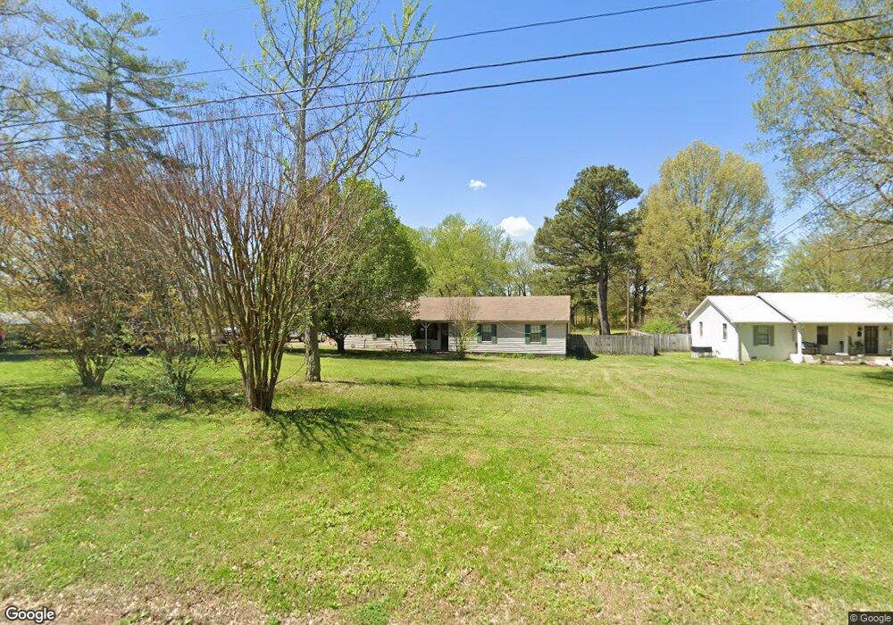
233 Cole Rd Drummonds, TN 38023
Estimated Value: $238,000 - $261,000
--
Bed
2
Baths
1,836
Sq Ft
$134/Sq Ft
Est. Value
About This Home
This home is located at 233 Cole Rd, Drummonds, TN 38023 and is currently estimated at $246,848, approximately $134 per square foot. 233 Cole Rd is a home located in Tipton County with nearby schools including Drummonds Elementary School, Munford Middle School, and Munford High School.
Ownership History
Date
Name
Owned For
Owner Type
Purchase Details
Closed on
May 14, 2021
Sold by
Orman Wendy G and Harrell Billy W
Bought by
Orman Skylar
Current Estimated Value
Home Financials for this Owner
Home Financials are based on the most recent Mortgage that was taken out on this home.
Original Mortgage
$157,575
Outstanding Balance
$142,579
Interest Rate
3%
Mortgage Type
New Conventional
Estimated Equity
$104,269
Purchase Details
Closed on
Apr 3, 1978
Bought by
Harrell Billy W and Shirley Ann
Purchase Details
Closed on
Nov 5, 1977
Purchase Details
Closed on
Jun 20, 1972
Create a Home Valuation Report for This Property
The Home Valuation Report is an in-depth analysis detailing your home's value as well as a comparison with similar homes in the area
Home Values in the Area
Average Home Value in this Area
Purchase History
| Date | Buyer | Sale Price | Title Company |
|---|---|---|---|
| Orman Skylar | $156,000 | None Available | |
| Harrell Billy W | -- | -- | |
| -- | -- | -- | |
| -- | -- | -- |
Source: Public Records
Mortgage History
| Date | Status | Borrower | Loan Amount |
|---|---|---|---|
| Open | Orman Skylar | $157,575 |
Source: Public Records
Tax History Compared to Growth
Tax History
| Year | Tax Paid | Tax Assessment Tax Assessment Total Assessment is a certain percentage of the fair market value that is determined by local assessors to be the total taxable value of land and additions on the property. | Land | Improvement |
|---|---|---|---|---|
| 2024 | $730 | $47,950 | $7,300 | $40,650 |
| 2023 | $730 | $47,950 | $7,300 | $40,650 |
| 2022 | $688 | $33,725 | $5,375 | $28,350 |
| 2021 | $688 | $33,725 | $5,375 | $28,350 |
| 2020 | $688 | $33,725 | $5,375 | $28,350 |
| 2019 | $622 | $25,700 | $5,000 | $20,700 |
| 2018 | $617 | $25,700 | $5,000 | $20,700 |
| 2017 | $617 | $25,500 | $5,000 | $20,500 |
| 2016 | $617 | $25,500 | $5,000 | $20,500 |
| 2015 | $616 | $25,500 | $5,000 | $20,500 |
| 2014 | $616 | $25,501 | $0 | $0 |
Source: Public Records
Map
Nearby Homes
- 138 Gayden Dr
- 400 Whippoorwill Cir
- 1461 Armstrong Rd
- 5391 Simmons Rd
- 1336 Mathis Rd
- 231 Country Meadow Ln
- 0 Ray Bluff Rd
- 0 Dixon Rd
- 856 Reed Cir
- 30 Kight Rd
- 97 Rachel Cove
- 121 Reed Cir
- 0 Reed Cir Unit 10192357
- 979 Ray Bluff Rd
- 243 Morgan Way
- 483 Rachel Shankle Dr
- 544 Rachel Shankle Dr
- 288 W Rae Dr
- 155 Pwr Loop
- 52 Wilkinsville Rd