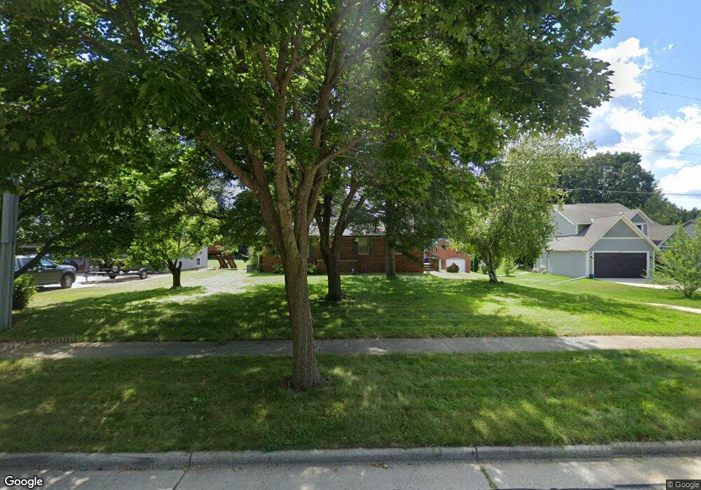
2331 Mac Arthur Rd Waukesha, WI 53188
Estimated Value: $382,517 - $442,000
3
Beds
1
Bath
1,226
Sq Ft
$328/Sq Ft
Est. Value
About This Home
This home is located at 2331 Mac Arthur Rd, Waukesha, WI 53188 and is currently estimated at $401,629, approximately $327 per square foot. 2331 Mac Arthur Rd is a home located in Waukesha County with nearby schools including Bethesda Elementary School, Butler Middle School, and West High School.
Ownership History
Date
Name
Owned For
Owner Type
Purchase Details
Closed on
Dec 6, 2005
Sold by
Yuker Lewis A and Yuker Missy
Bought by
Bennett Heather
Current Estimated Value
Home Financials for this Owner
Home Financials are based on the most recent Mortgage that was taken out on this home.
Original Mortgage
$173,600
Outstanding Balance
$108,029
Interest Rate
8.25%
Mortgage Type
Fannie Mae Freddie Mac
Estimated Equity
$293,600
Create a Home Valuation Report for This Property
The Home Valuation Report is an in-depth analysis detailing your home's value as well as a comparison with similar homes in the area
Home Values in the Area
Average Home Value in this Area
Purchase History
| Date | Buyer | Sale Price | Title Company |
|---|---|---|---|
| Bennett Heather | $217,000 | -- |
Source: Public Records
Mortgage History
| Date | Status | Borrower | Loan Amount |
|---|---|---|---|
| Open | Bennett Heather | $173,600 |
Source: Public Records
Tax History Compared to Growth
Tax History
| Year | Tax Paid | Tax Assessment Tax Assessment Total Assessment is a certain percentage of the fair market value that is determined by local assessors to be the total taxable value of land and additions on the property. | Land | Improvement |
|---|---|---|---|---|
| 2024 | $5,770 | $349,000 | $146,000 | $203,000 |
| 2023 | $5,497 | $349,000 | $146,000 | $203,000 |
| 2022 | $4,701 | $225,000 | $83,000 | $142,000 |
| 2021 | $5,068 | $225,000 | $83,000 | $142,000 |
| 2020 | $4,605 | $225,000 | $83,000 | $142,000 |
| 2019 | $4,607 | $225,000 | $83,000 | $142,000 |
| 2018 | $4,386 | $212,300 | $76,100 | $136,200 |
| 2017 | $4,467 | $212,300 | $76,100 | $136,200 |
| 2016 | $4,322 | $196,600 | $76,100 | $120,500 |
| 2015 | $4,320 | $196,600 | $76,100 | $120,500 |
| 2014 | $3,886 | $189,000 | $76,100 | $112,900 |
| 2013 | $3,886 | $189,000 | $76,100 | $112,900 |
Source: Public Records
Map
Nearby Homes
- 1050 S Grandview Blvd
- 901 Canterbury Ln
- 605 Rawlins Dr
- 2734 Field Dr
- 505 Everett Dr
- 802 S Comanche Ln
- 1523 David Ln
- 503 S Comanche Ln
- 2909 W View Ct
- 3726 Madison St
- 3710 Madison St
- 3816 Madison St Unit Lt165
- 2712 Madison St
- 2808 Madison St Unit C
- 3041 Minot Ln
- 2907 Cone View Ln
- S23W27100 Shananagi Ln
- Lt1 Shananagi Ln
- 102 E Sutton Place Unit B
- 1706 Haymarket Rd
- 2325 Mac Arthur Rd
- 2321 Mac Arthur Rd
- 2339 Mac Arthur Rd
- 2317 Mac Arthur Rd
- 1036 Burrie Ln
- 1045 Canterbury Ln
- 1041 Canterbury Ln
- 1032 Burrie Ln
- 1037 Canterbury Ln
- S25W26005 Mac Arthur Rd
- 1033 Canterbury Ln
- S25W26121 Mac Arthur Rd
- 1028 Burrie Ln
- 1025 Burrie Ln
- 1024 Burrie Ln
- 1029 Canterbury Ln
- 2307 Mac Arthur Rd
- 1032 Canterbury Ln
- 2305 Mac Arthur Rd
- 1021 Burrie Ln