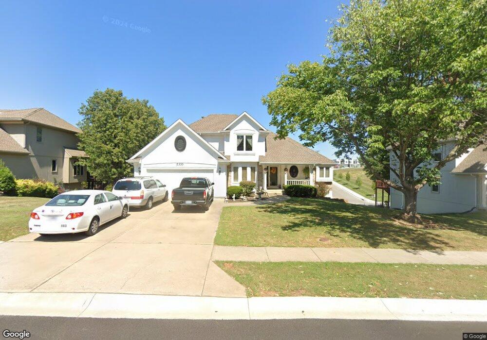
2333 NW Summerfield Dr Lees Summit, MO 64081
Estimated Value: $405,123 - $510,000
4
Beds
4
Baths
2,020
Sq Ft
$218/Sq Ft
Est. Value
About This Home
This home is located at 2333 NW Summerfield Dr, Lees Summit, MO 64081 and is currently estimated at $439,781, approximately $217 per square foot. 2333 NW Summerfield Dr is a home located in Jackson County with nearby schools including Cedar Creek Elementary School, Bernard C. Campbell Middle School, and Lee's Summit North High School.
Ownership History
Date
Name
Owned For
Owner Type
Purchase Details
Closed on
Jul 27, 2000
Sold by
Wiethan James C and Wiethan Susan L
Bought by
Allen Jerome C and Allen Dana L
Current Estimated Value
Home Financials for this Owner
Home Financials are based on the most recent Mortgage that was taken out on this home.
Original Mortgage
$190,800
Outstanding Balance
$68,275
Interest Rate
8.23%
Mortgage Type
Purchase Money Mortgage
Estimated Equity
$371,506
Create a Home Valuation Report for This Property
The Home Valuation Report is an in-depth analysis detailing your home's value as well as a comparison with similar homes in the area
Home Values in the Area
Average Home Value in this Area
Purchase History
| Date | Buyer | Sale Price | Title Company |
|---|---|---|---|
| Allen Jerome C | -- | Security Land Title Company |
Source: Public Records
Mortgage History
| Date | Status | Borrower | Loan Amount |
|---|---|---|---|
| Open | Allen Jerome C | $190,800 |
Source: Public Records
Tax History
| Year | Tax Paid | Tax Assessment Tax Assessment Total Assessment is a certain percentage of the fair market value that is determined by local assessors to be the total taxable value of land and additions on the property. | Land | Improvement |
|---|---|---|---|---|
| 2025 | $3,463 | $55,158 | $12,436 | $42,722 |
| 2024 | $3,438 | $47,964 | $5,115 | $42,849 |
| 2023 | $3,438 | $47,964 | $5,115 | $42,849 |
| 2022 | $4,034 | $49,970 | $8,047 | $41,923 |
| 2021 | $4,117 | $49,970 | $8,047 | $41,923 |
| 2020 | $4,158 | $49,975 | $8,047 | $41,928 |
| 2019 | $4,045 | $49,975 | $8,047 | $41,928 |
| 2018 | $3,652 | $41,881 | $4,900 | $36,981 |
| 2016 | $3,598 | $40,831 | $5,453 | $35,378 |
Source: Public Records
Map
Nearby Homes
- 2224 NW Summerfield Dr
- 2430 NW Windwood Dr
- 334 NW Ambersham Dr
- 955 NW High Point Dr
- 507 NW Ashurst Ct
- 2122 NW Ashurst Dr
- 2110 NW Ashurst Dr
- 433 NW Kaylea Ct
- 13004 E 99th St
- 2070 NW O'Brien Rd
- 2074 NW O'Brien Rd
- 2086 NW O'Brien Rd
- 14301 E 97 Terrace
- 2635 NW Ashurst Ln
- 2214 NW Killarney Ln
- 209 NW Cody Dr
- 9705 Leslie Ave
- 2123 NW Killarney Ln
- 2127 NW Killarney Ln
- 504 NW Holly Ln
- 2337 NW Summerfield Dr
- 2329 NW Summerfield Dr
- 1009 NW Springdale Dr
- 2341 NW Summerfield Dr
- 2325 NW Summerfield Dr
- 2345 NW Summerfield Dr
- 1005 NW Springdale Dr
- 920 NW Winterset St
- 2321 NW Summerfield Dr
- 1000 NW Springdale Dr
- 1001 NW Springdale Dr
- 2320 NW Summerfield Dr
- 916 NW Winterset St
- 2349 NW Summerfield Dr
- 2317 NW Summerfield Dr
- 912 NW Winterset St
- 908 NW Falcon Dr
- 908 NW Winterset St
- 2353 NW Summerfield Dr
- 904 NW Falcon Dr
Your Personal Tour Guide
Ask me questions while you tour the home.