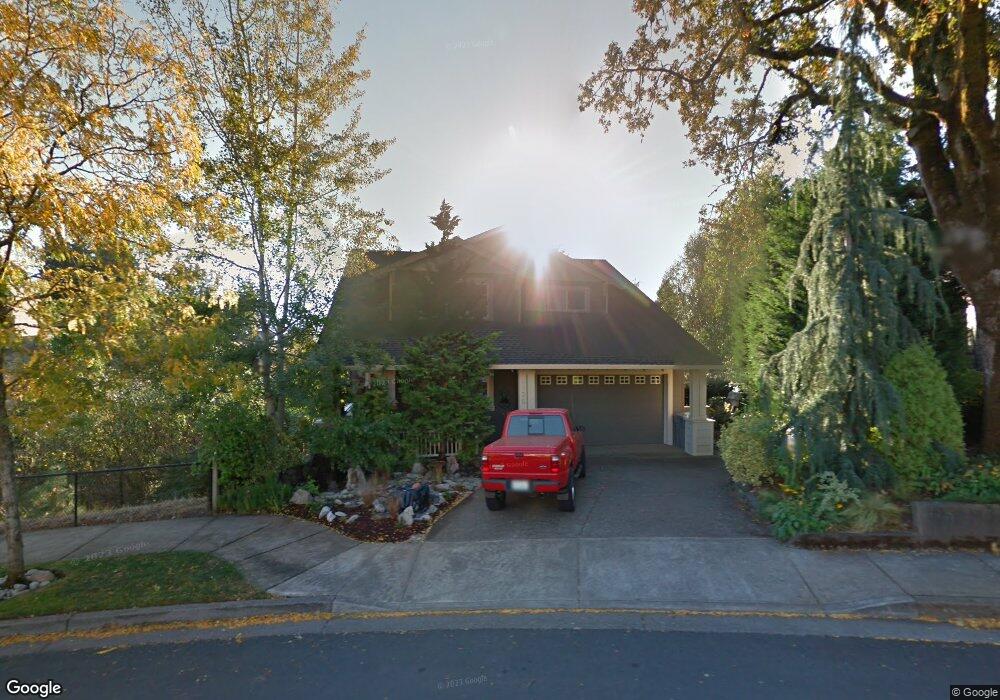
2335 Rogue Way West Linn, OR 97068
Tanner Basin NeighborhoodEstimated Value: $790,000 - $980,000
5
Beds
3
Baths
2,746
Sq Ft
$317/Sq Ft
Est. Value
About This Home
This home is located at 2335 Rogue Way, West Linn, OR 97068 and is currently estimated at $870,978, approximately $317 per square foot. 2335 Rogue Way is a home located in Clackamas County with nearby schools including Trillium Creek Primary School, Rosemont Ridge Middle School, and West Linn High School.
Ownership History
Date
Name
Owned For
Owner Type
Purchase Details
Closed on
May 23, 2016
Sold by
Miller Dennis A and Miller Karen S
Bought by
Carini Lori A and Carini Frank H
Current Estimated Value
Home Financials for this Owner
Home Financials are based on the most recent Mortgage that was taken out on this home.
Original Mortgage
$428,000
Outstanding Balance
$335,142
Interest Rate
3.25%
Mortgage Type
Adjustable Rate Mortgage/ARM
Estimated Equity
$535,836
Purchase Details
Closed on
Oct 19, 2000
Sold by
Woodbridge Custom Homes Llc
Bought by
Miller Dennis A and Miller Karen S
Home Financials for this Owner
Home Financials are based on the most recent Mortgage that was taken out on this home.
Original Mortgage
$222,480
Interest Rate
7.96%
Create a Home Valuation Report for This Property
The Home Valuation Report is an in-depth analysis detailing your home's value as well as a comparison with similar homes in the area
Home Values in the Area
Average Home Value in this Area
Purchase History
| Date | Buyer | Sale Price | Title Company |
|---|---|---|---|
| Carini Lori A | $535,000 | Wfg Title | |
| Miller Dennis A | $322,480 | Oregon Title Insurance Co |
Source: Public Records
Mortgage History
| Date | Status | Borrower | Loan Amount |
|---|---|---|---|
| Open | Carini Lori A | $428,000 | |
| Previous Owner | Miller Dennis A | $222,480 |
Source: Public Records
Tax History Compared to Growth
Tax History
| Year | Tax Paid | Tax Assessment Tax Assessment Total Assessment is a certain percentage of the fair market value that is determined by local assessors to be the total taxable value of land and additions on the property. | Land | Improvement |
|---|---|---|---|---|
| 2025 | $9,082 | $471,264 | -- | -- |
| 2024 | $8,742 | $457,538 | -- | -- |
| 2023 | $8,742 | $444,212 | $0 | $0 |
| 2022 | $8,251 | $431,274 | $0 | $0 |
| 2021 | $7,833 | $418,713 | $0 | $0 |
| 2020 | $7,886 | $406,518 | $0 | $0 |
| 2019 | $7,520 | $394,678 | $0 | $0 |
| 2018 | $7,184 | $383,183 | $0 | $0 |
| 2017 | $6,887 | $372,022 | $0 | $0 |
| 2016 | $6,684 | $361,186 | $0 | $0 |
| 2015 | $6,179 | $350,666 | $0 | $0 |
| 2014 | $5,889 | $340,452 | $0 | $0 |
Source: Public Records
Map
Nearby Homes
- 3492 Vista Ridge Dr
- 1808 Hall Ct
- 2650 Lorinda Ln
- 2378 Falcon Dr
- 2762 Dahlia Dr
- 2025 De Vries Way
- 3500 Riverknoll Way
- 3496 Chaparrel Loop
- 2625 Beacon Hill Dr
- 22872 Weatherhill Rd
- 2285 Satter St
- 4650 Summerlinn Way
- 3808 Fairhaven Dr
- 6735 Summerlinn Way Unit 87
- 6505 Summerlinn Way Unit 79
- 3115 Sabo Ln
- 6840 Summerlinn Way Unit 93
- 3296 Nomie Way
- 3776 Landis St
- 3850 Summerlinn Dr Unit 58
- 2325 Rogue Way
- 2315 Rogue Way
- 2340 Rogue Way
- 2305 Rogue Way
- 2574 Coeur d Alene Dr
- 2562 Coeur d Alene Dr
- 2320 Rogue Way
- 2345 Rogue Way
- 2310 Rogue Way
- 23705 Crystal Terrace Dr
- 3165 Haskins Ln
- 2524 Coeur d Alene Dr
- 2301 Rogue Way
- 2586 Coeur d Alene Dr
- 3079 Deschutes Ln
- 2550 Coeur d Alene Dr
- 0 Rogue Way
- 2296 Haskins Rd
- 3075 Deschutes Ln
- 2355 Rogue Way