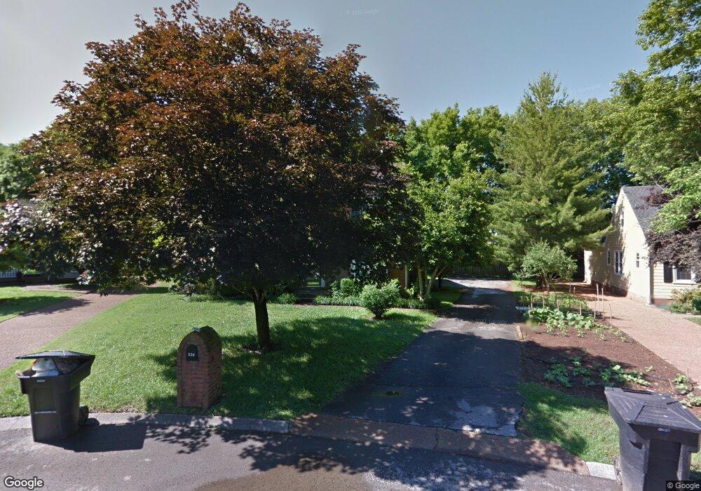
234 Gloucester St Franklin, TN 37064
Central Franklin NeighborhoodEstimated Value: $696,184 - $828,000
--
Bed
4
Baths
2,568
Sq Ft
$296/Sq Ft
Est. Value
About This Home
This home is located at 234 Gloucester St, Franklin, TN 37064 and is currently estimated at $760,546, approximately $296 per square foot. 234 Gloucester St is a home located in Williamson County with nearby schools including Franklin Elementary School, Freedom Intermediate School, and Freedom Middle School.
Ownership History
Date
Name
Owned For
Owner Type
Purchase Details
Closed on
Jan 6, 1998
Sold by
Hooke Albert V and Hooke Deloris E
Bought by
Peters Edwin and Peters Stacey Mince
Current Estimated Value
Home Financials for this Owner
Home Financials are based on the most recent Mortgage that was taken out on this home.
Original Mortgage
$100,000
Outstanding Balance
$17,417
Interest Rate
7.18%
Estimated Equity
$743,129
Create a Home Valuation Report for This Property
The Home Valuation Report is an in-depth analysis detailing your home's value as well as a comparison with similar homes in the area
Home Values in the Area
Average Home Value in this Area
Purchase History
| Date | Buyer | Sale Price | Title Company |
|---|---|---|---|
| Peters Edwin | $187,000 | -- |
Source: Public Records
Mortgage History
| Date | Status | Borrower | Loan Amount |
|---|---|---|---|
| Open | Peters Edwin | $100,000 |
Source: Public Records
Tax History Compared to Growth
Tax History
| Year | Tax Paid | Tax Assessment Tax Assessment Total Assessment is a certain percentage of the fair market value that is determined by local assessors to be the total taxable value of land and additions on the property. | Land | Improvement |
|---|---|---|---|---|
| 2024 | $2,918 | $103,075 | $30,000 | $73,075 |
| 2023 | $2,805 | $103,075 | $30,000 | $73,075 |
| 2022 | $2,805 | $103,075 | $30,000 | $73,075 |
| 2021 | $2,805 | $103,075 | $30,000 | $73,075 |
| 2020 | $2,472 | $76,625 | $18,750 | $57,875 |
| 2019 | $2,472 | $76,625 | $18,750 | $57,875 |
| 2018 | $2,419 | $76,625 | $18,750 | $57,875 |
| 2017 | $2,380 | $76,625 | $18,750 | $57,875 |
| 2016 | $2,373 | $76,625 | $18,750 | $57,875 |
| 2015 | -- | $69,275 | $18,750 | $50,525 |
| 2014 | -- | $69,275 | $18,750 | $50,525 |
Source: Public Records
Map
Nearby Homes
- 100 Basil Ct
- 100 Ralston Ln
- 306 Battery Ct
- 624 Burghley Ln
- 121 Pebble View Dr
- 1 Pinewood Rd
- 215 Lewisburg Ave
- 521 Maplegrove Dr
- 433 Dragonfly Ct
- 108 Ridgemont Place
- 1143 Buckingham Cir
- 312 Bel Aire Dr
- 308 Meadowlawn Dr
- 304 Berry Cir
- 520 Castlebury Ct
- 1277 Carriage Park Dr Unit 7B
- 1335 Adams St
- 1405 Adams St
- 1224 Adams St
- 1120 Adams St
- 232 Gloucester St
- 236 Gloucester St
- 612 Roanoke Place
- 235 Gloucester St
- 607 Roanoke Place
- 608 Roanoke Place
- 230 Gloucester St
- 233 Gloucester St
- 229 Gloucester St
- 231 Gloucester St
- 812 Appomattox Place
- 146 Yorktown Rd
- 228 Gloucester St
- 604 Roanoke Place
- 144 Yorktown Rd
- 603 Roanoke Place
- 808 Appomattox Place
- 225 Gloucester St
- 314 E Chownings Ct
- 226 Gloucester St