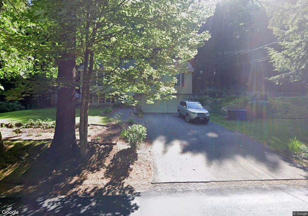
234 Gorham Pond Rd Goffstown, NH 03045
Estimated Value: $479,359 - $655,000
3
Beds
2
Baths
1,144
Sq Ft
$463/Sq Ft
Est. Value
About This Home
This home is located at 234 Gorham Pond Rd, Goffstown, NH 03045 and is currently estimated at $530,090, approximately $463 per square foot. 234 Gorham Pond Rd is a home with nearby schools including Mountain View Middle School and Goffstown High School.
Ownership History
Date
Name
Owned For
Owner Type
Purchase Details
Closed on
Apr 16, 2004
Sold by
Abbott Jeffrey and Abbott Kerri A
Bought by
Curran Kevin E and Curran Susan M
Current Estimated Value
Home Financials for this Owner
Home Financials are based on the most recent Mortgage that was taken out on this home.
Original Mortgage
$192,000
Outstanding Balance
$89,848
Interest Rate
5.58%
Mortgage Type
Purchase Money Mortgage
Estimated Equity
$440,242
Create a Home Valuation Report for This Property
The Home Valuation Report is an in-depth analysis detailing your home's value as well as a comparison with similar homes in the area
Home Values in the Area
Average Home Value in this Area
Purchase History
| Date | Buyer | Sale Price | Title Company |
|---|---|---|---|
| Curran Kevin E | $240,000 | -- |
Source: Public Records
Mortgage History
| Date | Status | Borrower | Loan Amount |
|---|---|---|---|
| Open | Curran Kevin E | $192,000 |
Source: Public Records
Tax History Compared to Growth
Tax History
| Year | Tax Paid | Tax Assessment Tax Assessment Total Assessment is a certain percentage of the fair market value that is determined by local assessors to be the total taxable value of land and additions on the property. | Land | Improvement |
|---|---|---|---|---|
| 2024 | $7,896 | $386,300 | $190,100 | $196,200 |
| 2023 | $7,286 | $386,300 | $190,100 | $196,200 |
| 2022 | $6,541 | $248,600 | $119,800 | $128,800 |
| 2021 | $6,170 | $248,600 | $119,800 | $128,800 |
| 2020 | $6,170 | $248,600 | $119,800 | $128,800 |
| 2019 | $6,111 | $248,600 | $119,800 | $128,800 |
| 2018 | $6,062 | $248,600 | $119,800 | $128,800 |
| 2017 | $5,911 | $232,900 | $108,600 | $124,300 |
| 2016 | $6,156 | $232,900 | $108,600 | $124,300 |
| 2015 | $5,981 | $212,400 | $98,700 | $113,700 |
| 2014 | $5,735 | $212,400 | $98,700 | $113,700 |
Source: Public Records
Map
Nearby Homes
- 88 Saunders Rd
- 22 Fairway Dr
- 174 S Stark Hwy Unit 13
- 174 S Stark Hwy Unit 1
- 174 S Stark Hwy Unit 23
- 0 Fairway Dr Unit 11
- 3 Stephanie Rd
- 16 Palmer Rd
- 93 Daniels Rd
- 25 Pleasant St
- 12 S Mast St
- 99 Elm St
- 39 S Mast St
- 77 Gould Rd
- 137 Elm St
- 22 Winter Hill Rd
- 95 Wright Dr
- 103 Renshaw Rd
- 120 S Mast St
- 30 Horizon Dr
- 228 Gorham Pond Rd
- 236 Gorham Pond Rd
- 248 Gorham Pond Rd
- 214 Gorham Pond Rd
- 272 Gorham Pond Rd
- 0 Gorham Pond Rd Unit 72902689
- 0 Gorham Pond Rd Unit Map 7 Lot 49
- 208 Gorham Pond Rd
- 195 Gorham Pond Rd
- 198 Gorham Pond Rd
- 280 Gorham Pond Rd
- 186 Gorham Pond Rd
- 287 Gorham Pond Rd
- 290 Gorham Pond Rd
- 183 Gorham Pond Rd
- 180 Gorham Pond Rd
- 291 Gorham Pond Rd
- 257 Snook Rd
- 172 Gorham Pond Rd