Estimated Value: $265,000 - $364,000
4
Beds
2
Baths
1,942
Sq Ft
$160/Sq Ft
Est. Value
About This Home
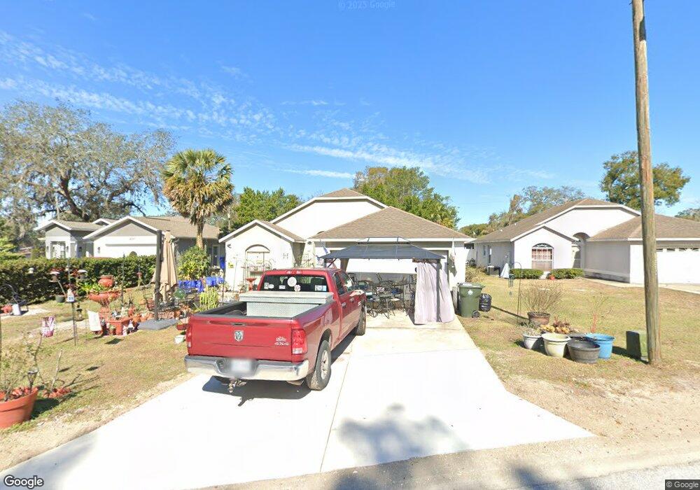
This home is located at 234 Rewis St, Ocoee, FL 34761 and is currently estimated at $311,515, approximately $160 per square foot. 234 Rewis St is a home located in Orange County with nearby schools including Ocoee Elementary School, Ocoee Middle School, and Ocoee High School.
Ownership History
Date
Name
Owned For
Owner Type
Purchase Details
Closed on
Jan 6, 2012
Sold by
Salcedo Juan and Herrera Maria D
Bought by
Heath Donald G
Current Estimated Value
Home Financials for this Owner
Home Financials are based on the most recent Mortgage that was taken out on this home.
Original Mortgage
$70,000
Outstanding Balance
$48,196
Interest Rate
4.07%
Mortgage Type
New Conventional
Estimated Equity
$263,319
Purchase Details
Closed on
Aug 13, 2007
Sold by
Henry Michael L and Henry Laura Z
Bought by
Salcedo Juan and Herrera Maria D
Home Financials for this Owner
Home Financials are based on the most recent Mortgage that was taken out on this home.
Original Mortgage
$213,750
Interest Rate
6.56%
Mortgage Type
Purchase Money Mortgage
Create a Home Valuation Report for This Property
The Home Valuation Report is an in-depth analysis detailing your home's value as well as a comparison with similar homes in the area
Home Values in the Area
Average Home Value in this Area
Purchase History
| Date | Buyer | Sale Price | Title Company |
|---|---|---|---|
| Heath Donald G | $95,000 | Treasure Title Insurance | |
| Salcedo Juan | $225,000 | Twin Land Title Inc |
Source: Public Records
Mortgage History
| Date | Status | Borrower | Loan Amount |
|---|---|---|---|
| Open | Heath Donald G | $70,000 | |
| Previous Owner | Salcedo Juan | $213,750 |
Source: Public Records
Tax History
| Year | Tax Paid | Tax Assessment Tax Assessment Total Assessment is a certain percentage of the fair market value that is determined by local assessors to be the total taxable value of land and additions on the property. | Land | Improvement |
|---|---|---|---|---|
| 2025 | $3,888 | $195,455 | -- | -- |
| 2024 | $3,207 | $177,686 | -- | -- |
| 2023 | $3,207 | $195,132 | $60,000 | $135,132 |
| 2022 | $2,670 | $133,940 | $30,000 | $103,940 |
| 2021 | $2,513 | $121,362 | $30,000 | $91,362 |
| 2020 | $2,434 | $122,078 | $30,000 | $92,078 |
| 2019 | $2,376 | $109,794 | $17,000 | $92,794 |
| 2018 | $2,318 | $104,413 | $14,000 | $90,413 |
| 2017 | $2,311 | $102,109 | $14,000 | $88,109 |
| 2016 | $2,316 | $99,476 | $14,000 | $85,476 |
| 2015 | $2,268 | $94,349 | $14,000 | $80,349 |
| 2014 | $2,362 | $99,247 | $18,044 | $81,203 |
Source: Public Records
Map
Nearby Homes
- 28 Rewis St
- 600 Hill Ave
- 632 Cardinal St
- 20 Rewis St
- 1102 Bellini Ln
- 1079 N Lakewood Ave
- 12 Lee St
- 1236 Russell Dr
- 314 15th Ave
- 702 Carmen Dr
- 319 W Silver Star Rd
- 314 Wurst Rd
- 503 Apricot Dr
- 1311 Olympia Park Cir
- 1301 Pinewood Ln
- 0 E Silver Star Rd
- 1500 Adair St
- 905 Spring Creek Dr
- 1414 E Silver Star Rd
- 1339 Olympia Park Cir
- 236 Rewis St
- 238 Rewis St
- 230 Rewis St
- 220 Rewis St
- 229 Security Cir
- 244 Security Cir
- 235 Security Cir
- 227 Security Cir
- 237 Security Cir
- 225 Security Cir
- 239 Security Cir
- 240 Rewis St
- 216 Rewis St
- 223 Security Cir
- 240 E Silver Star Rd
- 231 Security Cir
- 241 Security Cir
- 219 Security Cir
- 212 Rewis St
- 230 Security Cir
Your Personal Tour Guide
Ask me questions while you tour the home.