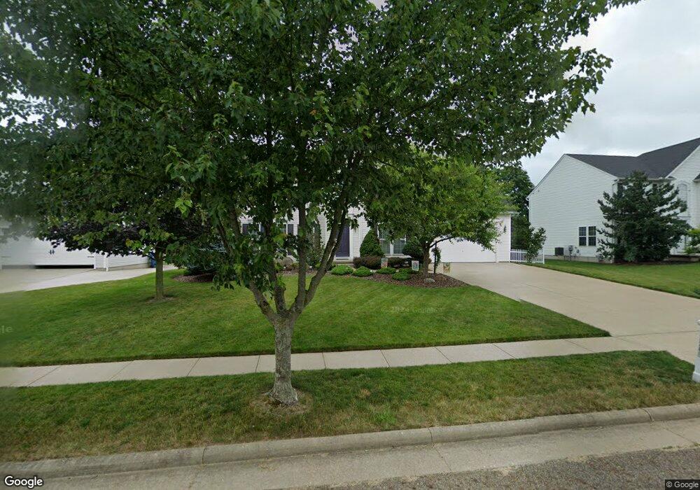
2345 Handforth St Uniontown, OH 44685
Estimated Value: $416,000 - $473,000
5
Beds
4
Baths
2,875
Sq Ft
$157/Sq Ft
Est. Value
About This Home
This home is located at 2345 Handforth St, Uniontown, OH 44685 and is currently estimated at $451,262, approximately $156 per square foot. 2345 Handforth St is a home located in Summit County with nearby schools including Greenwood Elementary School, Green Intermediate Elementary School, and Green Primary School.
Ownership History
Date
Name
Owned For
Owner Type
Purchase Details
Closed on
Aug 24, 2004
Sold by
Nvr Inc
Bought by
Mesaros Robert L
Current Estimated Value
Home Financials for this Owner
Home Financials are based on the most recent Mortgage that was taken out on this home.
Original Mortgage
$208,548
Outstanding Balance
$103,965
Interest Rate
6.08%
Mortgage Type
Purchase Money Mortgage
Estimated Equity
$347,297
Purchase Details
Closed on
May 28, 2004
Sold by
Union Square Investments Ltd
Bought by
Nvr Inc and Ryan Homes
Create a Home Valuation Report for This Property
The Home Valuation Report is an in-depth analysis detailing your home's value as well as a comparison with similar homes in the area
Purchase History
| Date | Buyer | Sale Price | Title Company |
|---|---|---|---|
| Mesaros Robert L | $260,685 | Nvr Title Agency Llc | |
| Nvr Inc | $45,000 | Miller Examining Svc Inc Me |
Source: Public Records
Mortgage History
| Date | Status | Borrower | Loan Amount |
|---|---|---|---|
| Open | Mesaros Robert L | $208,548 |
Source: Public Records
Tax History
| Year | Tax Paid | Tax Assessment Tax Assessment Total Assessment is a certain percentage of the fair market value that is determined by local assessors to be the total taxable value of land and additions on the property. | Land | Improvement |
|---|---|---|---|---|
| 2025 | $6,232 | $131,117 | $20,671 | $110,446 |
| 2024 | $6,232 | $131,117 | $20,671 | $110,446 |
| 2023 | $6,232 | $131,117 | $20,671 | $110,446 |
| 2022 | $5,036 | $95,015 | $14,980 | $80,035 |
| 2021 | $4,727 | $95,015 | $14,980 | $80,035 |
| 2020 | $4,636 | $95,020 | $14,980 | $80,040 |
| 2019 | $4,362 | $83,660 | $14,830 | $68,830 |
| 2018 | $4,458 | $83,660 | $14,830 | $68,830 |
| 2017 | $4,260 | $83,660 | $14,830 | $68,830 |
| 2016 | $4,238 | $74,970 | $14,830 | $60,140 |
| 2015 | $4,260 | $74,970 | $14,830 | $60,140 |
| 2014 | $4,231 | $74,970 | $14,830 | $60,140 |
| 2013 | $4,262 | $75,130 | $14,830 | $60,300 |
Source: Public Records
Map
Nearby Homes
- 4125 Southwyck Rd
- 4313 Evergreen Ct Unit 66
- 4328 Evergreen Ct Unit 52
- 4304 Evergreen Ct Unit 61
- 4332 Evergreen Ct
- 4451 Dogwood Ct Unit 31
- 0 Honeymoon Dr
- 3912 Raintree Cir
- 2000 Stake Dr
- 4688 Mayfair Rd
- 4517 Gardenia Dr
- 4674 Massillon Rd
- 2335 Greensburg Rd
- 4725 Massillon Rd
- 4718 Massillon Rd
- 4324 Evergreen Ct Unit 53
- 4317 Evergreen Ct Unit 67
- 4301 Evergreen Ct Unit 63
- 0 Massillon Rd Unit 5187583
- 2013 Dornoch Dr Unit 118
- 2337 Handforth St
- 2353 Handforth St
- 2361 Handforth St
- 2329 Handforth St
- 2344 Handforth St
- 2336 Handforth St
- 2352 Handforth St
- 2321 Handforth St
- 2369 Handforth St
- 2328 Handforth St
- 2360 Handforth St
- 2313 Handforth St
- 2370 Handforth St
- 4293 Aylesford Rd
- 2377 Handforth St
- 2313 Chadwell Cir
- 2321 Chadwell Cir
- 4280 Aylesford Rd
- 2382 Handforth St
- 2331 Chadwell Cir
Your Personal Tour Guide
Ask me questions while you tour the home.