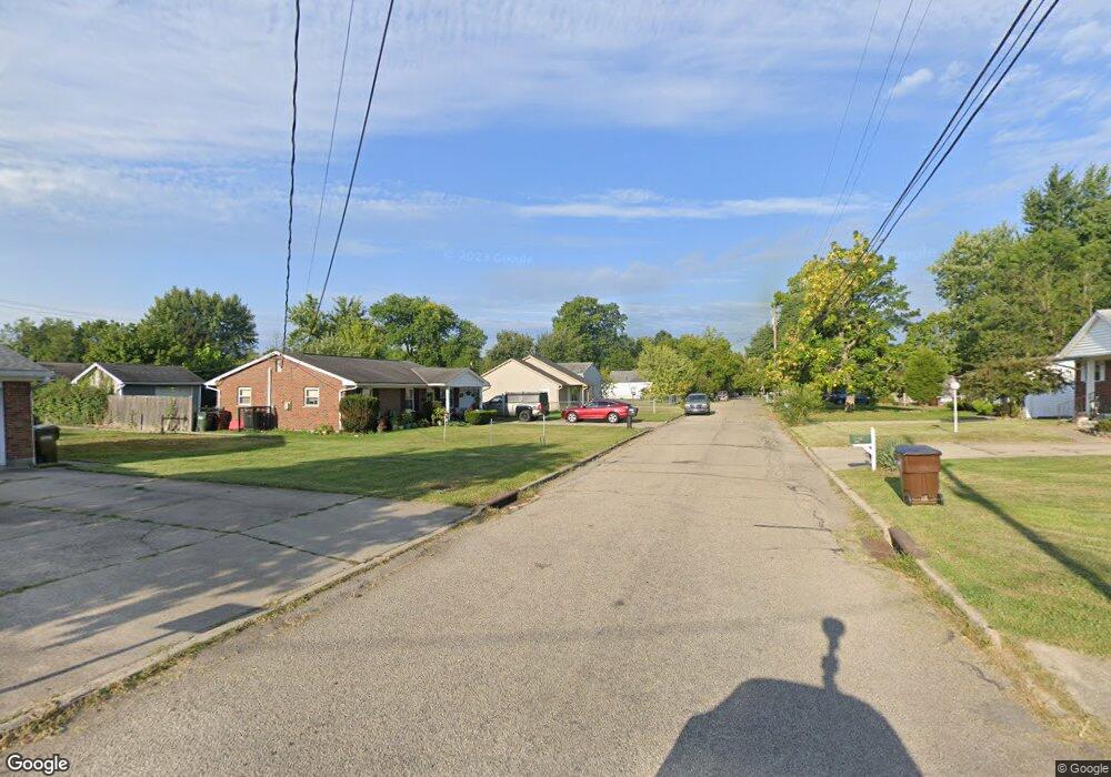
2347 Grant Ave Cincinnati, OH 45231
Mount Healthy Heights NeighborhoodEstimated Value: $170,000 - $185,765
3
Beds
1
Bath
1,112
Sq Ft
$159/Sq Ft
Est. Value
About This Home
This home is located at 2347 Grant Ave, Cincinnati, OH 45231 and is currently estimated at $176,941, approximately $159 per square foot. 2347 Grant Ave is a home located in Hamilton County with nearby schools including Pleasant Run Elementary School, Taylor Elementary School, and Pleasant Run Middle School.
Ownership History
Date
Name
Owned For
Owner Type
Purchase Details
Closed on
Feb 28, 1996
Sold by
Christopher Homes Comml Enterprises Inc
Bought by
Stacy Jeffrey A
Current Estimated Value
Home Financials for this Owner
Home Financials are based on the most recent Mortgage that was taken out on this home.
Original Mortgage
$53,000
Outstanding Balance
$703
Interest Rate
7.05%
Estimated Equity
$176,238
Purchase Details
Closed on
Jul 11, 1994
Sold by
Rhodes Dusty
Bought by
Mincy Randall
Create a Home Valuation Report for This Property
The Home Valuation Report is an in-depth analysis detailing your home's value as well as a comparison with similar homes in the area
Home Values in the Area
Average Home Value in this Area
Purchase History
| Date | Buyer | Sale Price | Title Company |
|---|---|---|---|
| Stacy Jeffrey A | -- | -- | |
| Mincy Randall | $131 | -- |
Source: Public Records
Mortgage History
| Date | Status | Borrower | Loan Amount |
|---|---|---|---|
| Open | Stacy Jeffrey A | $53,000 |
Source: Public Records
Tax History
| Year | Tax Paid | Tax Assessment Tax Assessment Total Assessment is a certain percentage of the fair market value that is determined by local assessors to be the total taxable value of land and additions on the property. | Land | Improvement |
|---|---|---|---|---|
| 2025 | $2,811 | $48,811 | $10,150 | $38,661 |
| 2023 | $2,622 | $48,811 | $10,150 | $38,661 |
| 2022 | $2,413 | $36,646 | $8,985 | $27,661 |
| 2021 | $2,392 | $36,646 | $8,985 | $27,661 |
| 2020 | $2,418 | $36,646 | $8,985 | $27,661 |
| 2019 | $2,090 | $29,551 | $7,245 | $22,306 |
| 2018 | $1,875 | $29,551 | $7,245 | $22,306 |
| 2017 | $1,776 | $29,551 | $7,245 | $22,306 |
| 2016 | $2,117 | $34,804 | $7,315 | $27,489 |
| 2015 | $2,138 | $34,804 | $7,315 | $27,489 |
| 2014 | $2,142 | $34,804 | $7,315 | $27,489 |
| 2013 | $2,144 | $36,635 | $7,700 | $28,935 |
Source: Public Records
Map
Nearby Homes
- 2342 Washington Ave
- 2508 Wilson Ave
- 10877 Birchridge Dr
- 2659 Roosevelt Ave
- 10897 Sprucehill Dr
- 2071 Roosevelt Ave
- 10918 Newmarket Dr
- 2776 Klondike Ct
- 2192 Pinney Ln
- 2845 Wilson Ave
- 1958 Bluehill Dr
- 10945 Penarth Dr
- 1931 Lotushill Dr
- 2936 Butterwick Dr
- 10908 Tangleberry Ct
- 2617 Chesterhill Dr
- 1858 Aspenhill Dr
- 1876 Roosevelt Ave
- 1854 Windmill Way
- 2000 Struble Rd
- 2335 Grant Ave
- 2346 Roosevelt Ave
- 2334 Roosevelt Ave
- 2361 Grant Ave
- 2331 Grant Ave
- 2328 Roosevelt Ave
- 2338 Grant Ave
- 2356 Grant Ave
- 2384 Grant Ave
- 2322 Roosevelt Ave
- 2364 Roosevelt Ave
- 2362 Grant Ave
- 2378 Roosevelt Ave
- 2318 Roosevelt Ave
- 2316 Roosevelt Ave
- 2313 Grant Ave
- 2312 Grant Ave
- 2345 Roosevelt Ave
- 2337 Roosevelt Ave
- 2357 Wilson Ave
Your Personal Tour Guide
Ask me questions while you tour the home.