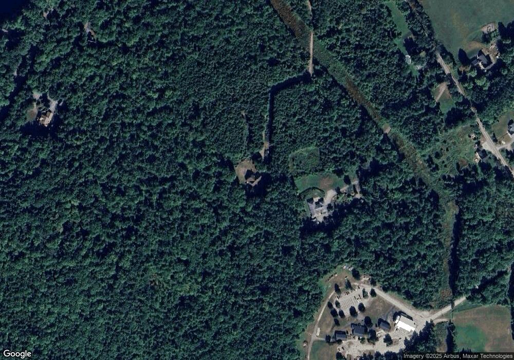
235 Meredith Center Rd Meredith, NH 03253
Estimated Value: $739,000 - $1,066,000
3
Beds
3
Baths
2,596
Sq Ft
$330/Sq Ft
Est. Value
About This Home
This home is located at 235 Meredith Center Rd, Meredith, NH 03253 and is currently estimated at $855,715, approximately $329 per square foot. 235 Meredith Center Rd is a home with nearby schools including Inter-Lakes Elementary School, Laconia Christian Academy, and Lakeland School.
Ownership History
Date
Name
Owned For
Owner Type
Purchase Details
Closed on
May 1, 2002
Sold by
Blue Sky Enterprises I
Bought by
Young Kenneth W and Young Susan M
Current Estimated Value
Home Financials for this Owner
Home Financials are based on the most recent Mortgage that was taken out on this home.
Original Mortgage
$67,000
Interest Rate
7.13%
Mortgage Type
Purchase Money Mortgage
Create a Home Valuation Report for This Property
The Home Valuation Report is an in-depth analysis detailing your home's value as well as a comparison with similar homes in the area
Home Values in the Area
Average Home Value in this Area
Purchase History
| Date | Buyer | Sale Price | Title Company |
|---|---|---|---|
| Young Kenneth W | $84,500 | -- |
Source: Public Records
Mortgage History
| Date | Status | Borrower | Loan Amount |
|---|---|---|---|
| Open | Young Kenneth W | $361,600 | |
| Closed | Young Kenneth W | $67,000 |
Source: Public Records
Tax History Compared to Growth
Tax History
| Year | Tax Paid | Tax Assessment Tax Assessment Total Assessment is a certain percentage of the fair market value that is determined by local assessors to be the total taxable value of land and additions on the property. | Land | Improvement |
|---|---|---|---|---|
| 2024 | $7,277 | $709,217 | $246,217 | $463,000 |
| 2023 | $7,015 | $709,262 | $246,262 | $463,000 |
| 2022 | $6,783 | $485,559 | $144,159 | $341,400 |
| 2021 | $6,524 | $485,742 | $144,342 | $341,400 |
| 2020 | $6,810 | $485,717 | $144,317 | $341,400 |
| 2019 | $6,676 | $420,141 | $116,841 | $303,300 |
| 2018 | $6,563 | $420,191 | $116,891 | $303,300 |
| 2016 | $6,294 | $403,745 | $113,245 | $290,500 |
| 2015 | $6,137 | $403,745 | $113,245 | $290,500 |
| 2014 | $5,988 | $403,745 | $113,245 | $290,500 |
| 2013 | $5,818 | $403,781 | $113,281 | $290,500 |
Source: Public Records
Map
Nearby Homes
- 247 Meredith Center Rd
- 14 Solace Pointe Rd
- 1 Sanctuary Ln
- 18 Solace Pointe Rd
- 12 Serenity Ln
- 87 Collins Brook Rd
- 126 Meredith Center Rd
- 65 Corliss Hill Rd
- 00 Pease Rd Unit 3A
- 3114 Parade Rd
- 33 Hickorywood Cir
- 6 Loon Point Rd
- 358 Roller Coaster Rd
- 11 Hickorywood Cir Unit Lot 60
- 11 Hickorywood Cir
- 00 Chemung Rd Unit 31
- 70 Hatch Corner Rd
- 0 Parade Rd Unit 5
- 5 Clover Ridge Rd
- 93 Roller Coaster Rd
- 230 Meredith Center Rd
- 255 Meredith Center Rd
- 263 Meredith Center Rd
- 227 Meredith Center Rd
- 227 Meredith Center Rd Unit Lot 3
- 1 Collins Brook Rd
- 11 Windsong Place
- Lot 3 Solace Point
- 6 Windsong Place
- 10 Solace Pointe Rd
- 6 Solace Pointe Rd
- 0 Solace Pointe Rd
- 0 Solace Pointe Rd
- 0 Solace Pointe Rd Unit 4159360
- 0 Solace Pointe Rd Unit 4147704
- 00 Solace Pointe Rd
- 0 Solace Pointe Rd Unit 4171420
- 0 Solace Pointe Rd Unit 4017401
- 0 Solace Pointe Rd Unit 4017368
- 2 Solace Pointe Rd
