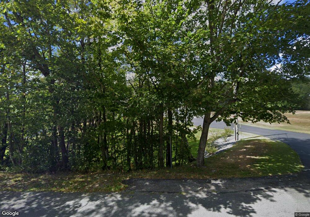
235 Number 9 Rd Rowe, MA 01367
Heath NeighborhoodEstimated Value: $355,000 - $464,000
4
Beds
3
Baths
2,428
Sq Ft
$168/Sq Ft
Est. Value
About This Home
This home is located at 235 Number 9 Rd, Rowe, MA 01367 and is currently estimated at $408,727, approximately $168 per square foot. 235 Number 9 Rd is a home with nearby schools including Mohawk Trail Regional High School.
Ownership History
Date
Name
Owned For
Owner Type
Purchase Details
Closed on
May 29, 2018
Sold by
Siok Lawrence J
Bought by
Siok Lawrence J and Siok Tracy A
Current Estimated Value
Purchase Details
Closed on
Jul 21, 2017
Sold by
Int Cedrone
Bought by
Siok Lawrence J
Home Financials for this Owner
Home Financials are based on the most recent Mortgage that was taken out on this home.
Original Mortgage
$137,000
Interest Rate
3.89%
Mortgage Type
New Conventional
Purchase Details
Closed on
Sep 22, 2011
Sold by
Cedrone Daniel G and Cedrone Loretta M
Bought by
Cedrone Invest T
Create a Home Valuation Report for This Property
The Home Valuation Report is an in-depth analysis detailing your home's value as well as a comparison with similar homes in the area
Home Values in the Area
Average Home Value in this Area
Purchase History
| Date | Buyer | Sale Price | Title Company |
|---|---|---|---|
| Siok Lawrence J | -- | -- | |
| Siok Lawrence J | $202,000 | -- | |
| Cedrone Invest T | -- | -- |
Source: Public Records
Mortgage History
| Date | Status | Borrower | Loan Amount |
|---|---|---|---|
| Previous Owner | Siok Lawrence J | $137,000 |
Source: Public Records
Tax History Compared to Growth
Tax History
| Year | Tax Paid | Tax Assessment Tax Assessment Total Assessment is a certain percentage of the fair market value that is determined by local assessors to be the total taxable value of land and additions on the property. | Land | Improvement |
|---|---|---|---|---|
| 2025 | $5,935 | $315,500 | $38,100 | $277,400 |
| 2024 | $6,407 | $313,600 | $34,100 | $279,500 |
| 2023 | $6,832 | $298,600 | $25,100 | $273,500 |
| 2022 | $6,376 | $296,400 | $25,100 | $271,300 |
| 2021 | $5,418 | $240,600 | $25,100 | $215,500 |
| 2020 | $5,367 | $241,200 | $24,100 | $217,100 |
| 2019 | $4,875 | $225,700 | $24,100 | $201,600 |
| 2018 | $5,189 | $237,900 | $24,100 | $213,800 |
| 2017 | $4,962 | $236,400 | $24,100 | $212,300 |
| 2016 | $5,460 | $266,200 | $24,100 | $242,100 |
| 2015 | $5,259 | $263,500 | $24,100 | $239,400 |
Source: Public Records
Map
Nearby Homes
- 60 Stone Hill Rd
- 1192 Chapel Hill Rd
- 594 Massachusetts 8a
- Lot 121 Davis Mine Rd
- 2173 Vermont 8a
- 442 Mcmillan Rd
- 1154 Vermont 8a
- 210 Burrington Hill Rd
- 201 Ford Hill Rd
- 166 Taylor Ln
- 233 Poverty Row
- 127 County Rd
- 1587 Upper Holbrook Rd
- 380 Smith Rd
- 1153 Faulkner Rd
- Lot X Tyanoga Rd
- 9 Depot St
- 14 South Rd
- 6 Chippewa Dr
- 251 Phillips Hill Rd
- 235 Number Nine Rd
- 237 Number 9 Rd
- 229 Number 9 Rd
- 229 Number 9 Rd
- 239 Number 9 Rd
- 234 Number 9 Rd
- 230 Number 9 Rd
- 228 Number 9 Rd
- 223 Number 9 Rd
- 240 Number 9 Rd
- 168 Number 9 Rd
- 221 Number 9 Rd
- 3 Stone Hill Rd
- 11 Stone Hill Rd
- 265 Number Nine Rd
- 283 Number 9 Rd
- LOT1 Number Nine Rd
- 269 Number 9 Rd
- 273 Number 9 Rd
- 177 Number Nine Rd
