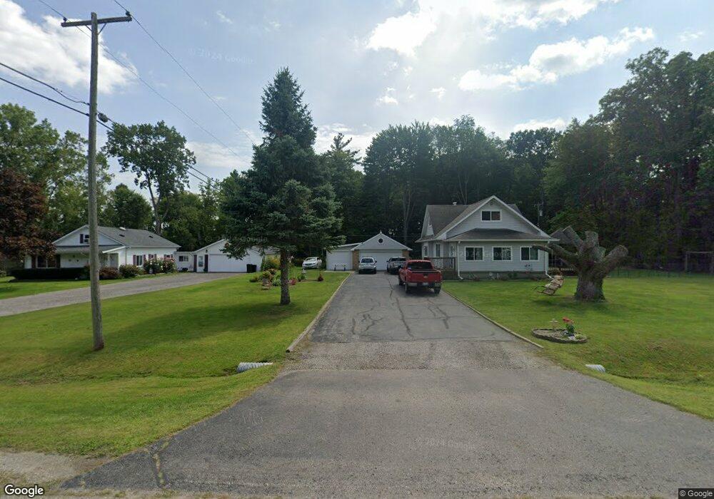
235 Range Rd Kimball, MI 48074
Estimated Value: $285,000 - $377,000
3
Beds
1
Bath
1,300
Sq Ft
$260/Sq Ft
Est. Value
About This Home
This home is located at 235 Range Rd, Kimball, MI 48074 and is currently estimated at $338,305, approximately $260 per square foot. 235 Range Rd is a home located in St. Clair County with nearby schools including Marysville High School, St. Clair County Intervention Academy, and Blue Water SDA Elementary School.
Ownership History
Date
Name
Owned For
Owner Type
Purchase Details
Closed on
Jul 23, 2015
Sold by
Manchester Jacquelyn A
Bought by
Tucker Raymond and Tucker Kelly
Current Estimated Value
Home Financials for this Owner
Home Financials are based on the most recent Mortgage that was taken out on this home.
Original Mortgage
$150,000
Outstanding Balance
$56,374
Interest Rate
3.2%
Mortgage Type
New Conventional
Estimated Equity
$281,931
Purchase Details
Closed on
Feb 25, 2014
Sold by
Manchester Jacquelyn
Bought by
Manchester Jacqueline
Home Financials for this Owner
Home Financials are based on the most recent Mortgage that was taken out on this home.
Original Mortgage
$195,000
Interest Rate
4.24%
Mortgage Type
Seller Take Back
Purchase Details
Closed on
Feb 10, 2014
Sold by
Manchester Jacquelyn A
Bought by
Tucker Raymond and Tucker Kelly
Home Financials for this Owner
Home Financials are based on the most recent Mortgage that was taken out on this home.
Original Mortgage
$195,000
Interest Rate
4.24%
Mortgage Type
Seller Take Back
Create a Home Valuation Report for This Property
The Home Valuation Report is an in-depth analysis detailing your home's value as well as a comparison with similar homes in the area
Home Values in the Area
Average Home Value in this Area
Purchase History
| Date | Buyer | Sale Price | Title Company |
|---|---|---|---|
| Tucker Raymond | $205,000 | Attorney | |
| Manchester Jacqueline | -- | None Available | |
| Tucker Raymond | $205,000 | None Available |
Source: Public Records
Mortgage History
| Date | Status | Borrower | Loan Amount |
|---|---|---|---|
| Open | Tucker Raymond | $150,000 | |
| Previous Owner | Tucker Raymond | $195,000 |
Source: Public Records
Tax History
| Year | Tax Paid | Tax Assessment Tax Assessment Total Assessment is a certain percentage of the fair market value that is determined by local assessors to be the total taxable value of land and additions on the property. | Land | Improvement |
|---|---|---|---|---|
| 2025 | $1,369 | $180,600 | $0 | $0 |
| 2024 | $1,328 | $169,700 | $0 | $0 |
| 2023 | $1,264 | $157,500 | $0 | $0 |
| 2022 | $3,285 | $140,200 | $0 | $0 |
| 2020 | $2,886 | $110,500 | $75,600 | $34,900 |
| 2019 | $2,833 | $108,400 | $0 | $0 |
| 2018 | $2,766 | $97,500 | $0 | $0 |
| 2017 | $2,798 | $96,900 | $0 | $0 |
| 2016 | $1,109 | $96,900 | $0 | $0 |
| 2015 | -- | $96,800 | $65,600 | $31,200 |
| 2014 | -- | $98,300 | $98,300 | $0 |
| 2013 | -- | $92,700 | $0 | $0 |
Source: Public Records
Map
Nearby Homes
- 1045 Huntington Ct
- 354 Marion Ave
- 4601 Gratiot Rd
- 192 Pickford Rd
- 149 Pickford Rd
- 0 Georgia Ave Unit 20251028141
- 1330 Minnesota Ave
- 1419 Minnesota Ave
- 0 Gratiot Blvd Unit 50105825
- 240 Oregon Ave
- 1363 Wisconsin Ave
- 1674 Georgia Ave
- 000 Montana Ave
- 2138 Gratiot Blvd
- 688 New Hampshire Ave
- 1671 New Jersey Ave
- 808 5th St
- 744 5th St
- 370 Independence Ave
- 496 Central St
- 4575 11th St
- 4585 11th St
- 4617 11th St
- 4551 11th St
- 0 Eleventh St Unit 4591071
- 0 Eleventh St Unit 4345446
- 0 Eleventh St Unit 31049213
- 0 Eleventh St Unit 943704
- 4576 11th St
- 4584 11th St
- 0 11th St Unit 216112516
- 0 11th St Unit 4440942
- 0 11th St Unit 31095697
- 4560 11th St
- 4612 11th St
- 270 Lincoln Ave
- 4548 11th St
- 240 Garfield Rd
- 240 Garfield Rd
- 255 Garfield Rd
Your Personal Tour Guide
Ask me questions while you tour the home.