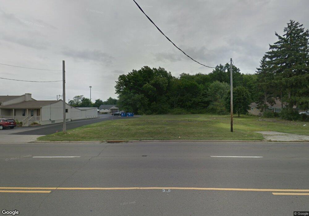
235 S Canfield-Niles Rd Youngstown, OH 44515
Austintown NeighborhoodEstimated Value: $416,107
--
Bed
--
Bath
--
Sq Ft
0.51
Acres
About This Home
This home is located at 235 S Canfield-Niles Rd, Youngstown, OH 44515 and is currently estimated at $416,107. 235 S Canfield-Niles Rd is a home located in Mahoning County with nearby schools including Austintown Elementary School, Austintown Intermediate School, and Austintown Middle School.
Ownership History
Date
Name
Owned For
Owner Type
Purchase Details
Closed on
Aug 4, 2017
Sold by
Baker Real Estate Limited
Bought by
Kalra Varun
Current Estimated Value
Purchase Details
Closed on
Feb 26, 2008
Sold by
Blair Thelma V and Reed Latya
Bought by
Sharbake Llc
Home Financials for this Owner
Home Financials are based on the most recent Mortgage that was taken out on this home.
Original Mortgage
$117,000
Interest Rate
5.75%
Mortgage Type
Purchase Money Mortgage
Purchase Details
Closed on
Jun 20, 2005
Sold by
Blair Thelma V
Bought by
State Of Ohio and Department Of Transportation
Purchase Details
Closed on
Jan 13, 1993
Bought by
Blair Thelma
Create a Home Valuation Report for This Property
The Home Valuation Report is an in-depth analysis detailing your home's value as well as a comparison with similar homes in the area
Home Values in the Area
Average Home Value in this Area
Purchase History
| Date | Buyer | Sale Price | Title Company |
|---|---|---|---|
| Kalra Varun | $213,200 | None Available | |
| Sharbake Llc | $180,000 | Attorney | |
| State Of Ohio | $21,480 | -- | |
| Blair Thelma | -- | -- |
Source: Public Records
Mortgage History
| Date | Status | Borrower | Loan Amount |
|---|---|---|---|
| Previous Owner | Sharbake Llc | $117,000 |
Source: Public Records
Tax History Compared to Growth
Tax History
| Year | Tax Paid | Tax Assessment Tax Assessment Total Assessment is a certain percentage of the fair market value that is determined by local assessors to be the total taxable value of land and additions on the property. | Land | Improvement |
|---|---|---|---|---|
| 2024 | $3,163 | $46,840 | $46,840 | -- |
| 2023 | $3,132 | $46,840 | $46,840 | $0 |
| 2022 | $1,566 | $38,320 | $38,320 | $0 |
| 2021 | $2,860 | $38,320 | $38,320 | $0 |
| 2020 | $2,901 | $38,320 | $38,320 | $0 |
| 2019 | $2,927 | $38,320 | $38,320 | $0 |
| 2018 | $2,307 | $38,320 | $38,320 | $0 |
| 2017 | $2,180 | $29,870 | $29,870 | $0 |
| 2016 | $2,213 | $29,870 | $29,870 | $0 |
| 2015 | $2,140 | $29,870 | $29,870 | $0 |
| 2014 | $2,145 | $29,870 | $29,870 | $0 |
| 2013 | $2,119 | $29,870 | $29,870 | $0 |
Source: Public Records
Map
Nearby Homes
- 3794-3796 Mahoning Ave
- 5559 London Dr
- 5640 Baylor Ave
- 0 Madrid Dr
- 5677 Mahoning Ave
- 148 Marcia Dr
- 5451 Virginia Dr
- 111 Ohltown Rd
- 125 Fitch Blvd Unit 224
- 138 N Canfield Niles Rd
- 5318 Pinecrest Ave
- 124 S Inglewood Ave
- 5109 W Elmwood Ave
- 148 N Kimberly Ave
- 5560 Norquest Blvd
- 111 Fitch Blvd
- 519 Wilcox Rd Unit A
- 316 S Inglewood Ave
- 701 Oberlin Place
- 176 N Canfield Niles Rd
- 246 S Canfield Niles Rd
- 281 S Canfield Niles Rd
- 252 S Canfield Niles Rd
- 283 S Canfield Niles Rd
- 5530 London Ct
- 5528 London Ct
- 325 S Canfield Niles Rd
- 5532 London Ct
- 5512 London Dr
- 5526 London Ct
- 5516 London Dr
- 5520 London Dr
- 5534 London Ct
- 6904 Mahoning Ave
- 5524 London Dr
- 5437 Mahoning Ave
- 0 Mahoning Ave
- 6505 Mahoning Ave
- 5536 London Ct
- 5511 London Dr