23505 Clark Place Philomath, OR 97370
Estimated Value: $476,457 - $513,000
3
Beds
2
Baths
1,392
Sq Ft
$356/Sq Ft
Est. Value
About This Home
This home is located at 23505 Clark Place, Philomath, OR 97370 and is currently estimated at $496,114, approximately $356 per square foot. 23505 Clark Place is a home located in Benton County with nearby schools including Philomath Elementary School, Clemens Primary School, and Philomath Middle School.
Ownership History
Date
Name
Owned For
Owner Type
Purchase Details
Closed on
May 16, 2018
Sold by
Orr David R and Orr Katherine I
Bought by
Orr Katherine I and Orr David R
Current Estimated Value
Home Financials for this Owner
Home Financials are based on the most recent Mortgage that was taken out on this home.
Original Mortgage
$282,800
Interest Rate
4.4%
Mortgage Type
New Conventional
Create a Home Valuation Report for This Property
The Home Valuation Report is an in-depth analysis detailing your home's value as well as a comparison with similar homes in the area
Home Values in the Area
Average Home Value in this Area
Purchase History
| Date | Buyer | Sale Price | Title Company |
|---|---|---|---|
| Orr Katherine I | -- | Ticor Title |
Source: Public Records
Mortgage History
| Date | Status | Borrower | Loan Amount |
|---|---|---|---|
| Closed | Orr Katherine I | $282,800 |
Source: Public Records
Tax History Compared to Growth
Tax History
| Year | Tax Paid | Tax Assessment Tax Assessment Total Assessment is a certain percentage of the fair market value that is determined by local assessors to be the total taxable value of land and additions on the property. | Land | Improvement |
|---|---|---|---|---|
| 2025 | $3,537 | $230,270 | -- | -- |
| 2024 | $3,537 | $223,563 | -- | -- |
| 2023 | $3,361 | $217,051 | $0 | $0 |
| 2022 | $3,265 | $210,729 | $0 | $0 |
| 2021 | $3,175 | $204,591 | $0 | $0 |
| 2020 | $3,201 | $198,632 | $0 | $0 |
| 2019 | $2,834 | $192,847 | $0 | $0 |
| 2018 | $2,887 | $187,230 | $0 | $0 |
| 2017 | $2,761 | $181,777 | $0 | $0 |
| 2016 | $2,554 | $176,483 | $0 | $0 |
| 2015 | $2,452 | $171,343 | $0 | $0 |
| 2014 | $2,506 | $166,352 | $0 | $0 |
| 2012 | -- | $156,803 | $0 | $0 |
Source: Public Records
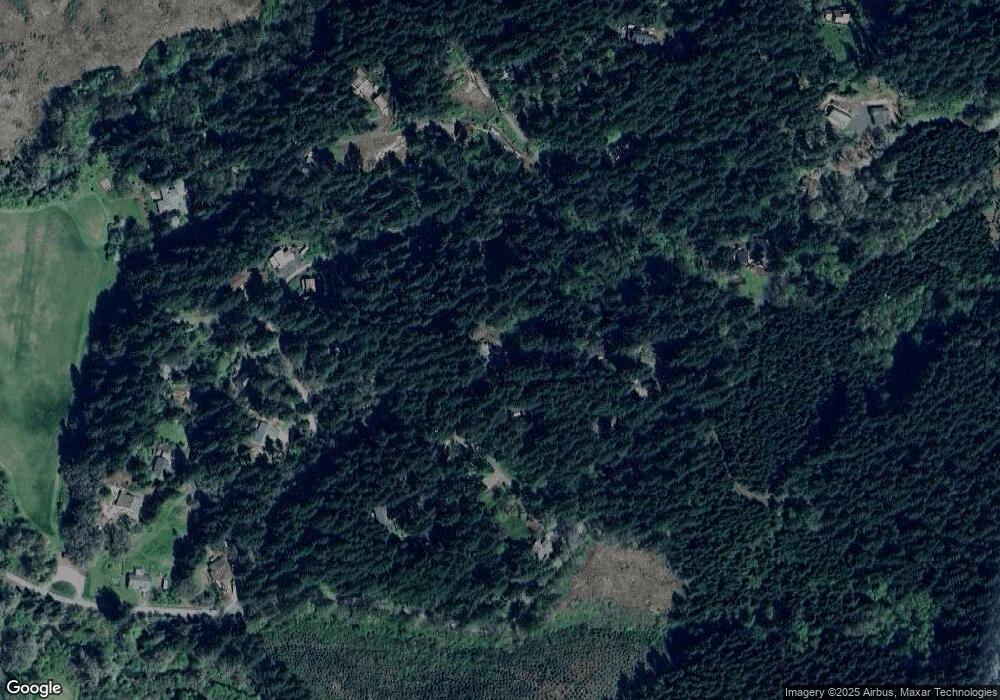
Map
Nearby Homes
- 23515 Clark Dr
- 23508 Lewis Dr
- 31636 Lewis Place
- 31722 Mcloughlin Dr
- 23835 Greasy Creek Rd
- 23547 Woods Creek Rd
- 31970 Fern Rd
- 24404 Highway 20
- 22530 Woods Creek Rd
- 803 Main St
- 33678 Marys River Estates Rd
- 609 Coastal View Dr (Lan
- 588 Canberra Dr
- 760 S 16th St
- 538 Starlight Way
- 1502 Timothy St
- 609 Coastal View (Land Next To) Dr
- 990 Pippa Ln
- 791 Quail Glenn Dr
- 345 N 11th (351) St
- 23506 Clark Place
- 23510 Clark Dr
- 23495 Clark Place
- 23539 Clark Dr
- 31739 Barlow Rd
- 23498 Lewis Dr
- 31717 Barlow Rd
- 23541 Greasy Creek Rd
- 23469 Lewis Dr
- 23468 Lewis Dr
- 23547 Clark Dr
- 31691 Barlow Rd
- 23526 Lewis Dr
- 0 Barlow Rd Unit 638329
- 0 Barlow Rd Unit 661811
- 0 Barlow Rd Unit 668043
- 0 Barlow Rd Unit 685864
- 0 Barlow Rd Unit 59 13385030
- 31627 Lewis Place
- 31630 Lewis Place