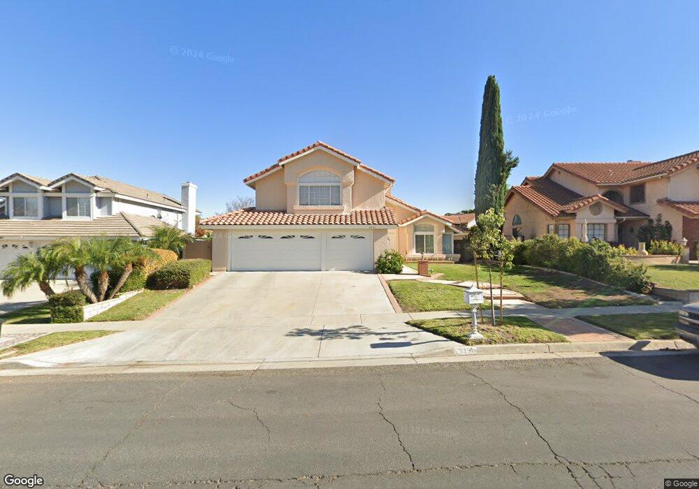
2351 Via Pacifica Corona, CA 92882
South Corona NeighborhoodEstimated Value: $855,943 - $957,000
4
Beds
3
Baths
2,603
Sq Ft
$346/Sq Ft
Est. Value
About This Home
This home is located at 2351 Via Pacifica, Corona, CA 92882 and is currently estimated at $900,486, approximately $345 per square foot. 2351 Via Pacifica is a home located in Riverside County with nearby schools including Benjamin Franklin Elementary School, Citrus Hills Intermediate School, and Corona High School.
Ownership History
Date
Name
Owned For
Owner Type
Purchase Details
Closed on
Jul 29, 2021
Sold by
Meek Eugene L and Meek Heidi B
Bought by
Sutton Meek Family Trust
Current Estimated Value
Purchase Details
Closed on
Feb 22, 2013
Sold by
Sutton Doris
Bought by
Sutton Doris and Doris Sutton Trust
Purchase Details
Closed on
Nov 2, 2007
Sold by
Sutton Imre and Sutton Doris
Bought by
Sutton Imre and Sutton Doris
Purchase Details
Closed on
Aug 25, 1999
Sold by
Sutton Imre and Sutton Doris
Bought by
Sutton Imre and Sutton Doris
Create a Home Valuation Report for This Property
The Home Valuation Report is an in-depth analysis detailing your home's value as well as a comparison with similar homes in the area
Home Values in the Area
Average Home Value in this Area
Purchase History
| Date | Buyer | Sale Price | Title Company |
|---|---|---|---|
| Sutton Meek Family Trust | -- | None Listed On Document | |
| Sutton Doris | -- | None Available | |
| Sutton Imre | -- | None Available | |
| Sutton Imre | -- | -- |
Source: Public Records
Tax History
| Year | Tax Paid | Tax Assessment Tax Assessment Total Assessment is a certain percentage of the fair market value that is determined by local assessors to be the total taxable value of land and additions on the property. | Land | Improvement |
|---|---|---|---|---|
| 2025 | $4,095 | $371,783 | $86,657 | $285,126 |
| 2023 | $4,095 | $357,348 | $83,293 | $274,055 |
| 2022 | $3,966 | $350,342 | $81,662 | $268,680 |
| 2021 | $3,887 | $343,473 | $80,061 | $263,412 |
| 2020 | $3,844 | $339,953 | $79,241 | $260,712 |
| 2019 | $3,756 | $333,288 | $77,688 | $255,600 |
| 2018 | $3,672 | $326,754 | $76,166 | $250,588 |
| 2017 | $3,583 | $320,348 | $74,673 | $245,675 |
| 2016 | $3,548 | $314,067 | $73,209 | $240,858 |
| 2015 | $3,471 | $309,351 | $72,110 | $237,241 |
| 2014 | $3,347 | $303,294 | $70,699 | $232,595 |
Source: Public Records
Map
Nearby Homes
- 1278 Millbrook Rd
- 1278 Old Hickory Rd
- 2421 Mangular Ave
- 2024 Peony St
- 2313 Mesquite Ln
- 2416 Patriot Way
- 1336 Old Trail Dr
- 1546 Tilson Cir
- 1320 Brentwood Cir Unit B
- 2809 Lancaster Ln
- 1370 Stein Way
- 1535 Border Ave Unit C
- 1598 Border Ave Unit H
- 2812 Via Mazatlan
- 1586 Border Ave Unit G
- 2598 Independence Way
- 1764 Coplen Cir
- 1554 Border Ave Unit G
- 1029 Westpark Ln
- 2242 Rainbow Ridge Dr
- 2341 Via Pacifica
- 2361 Via Pacifica
- 2331 Via Pacifica
- 2371 Via Pacifica
- 2340 Silver Oak Cir
- 1302 Harvest Cir
- 2371 Silver Oak Cir
- 2321 Via Pacifica
- 2364 Via Pacifica
- 2381 Via Pacifica
- 2361 Silver Oak Cir
- 2351 Silver Oak Cir
- 1304 Harvest Cir
- 1301 Harvest Cir
- 2320 Silver Oak Cir
- 2380 Via Pacifica
- 2341 Silver Oak Cir
- 2391 Via Pacifica
- 1303 Harvest Cir
- 1305 Bridlewood Cir
Your Personal Tour Guide
Ask me questions while you tour the home.