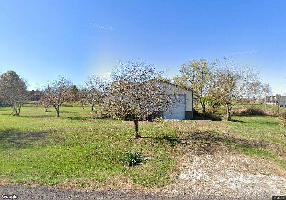
23525 153rd St Leavenworth, KS 66048
Estimated Value: $432,000 - $437,000
3
Beds
2
Baths
1,739
Sq Ft
$249/Sq Ft
Est. Value
About This Home
This home is located at 23525 153rd St, Leavenworth, KS 66048 and is currently estimated at $433,528, approximately $249 per square foot. 23525 153rd St is a home located in Leavenworth County with nearby schools including Lansing Elementary School, Lansing Middle 6-8, and Lansing High 9-12.
Ownership History
Date
Name
Owned For
Owner Type
Purchase Details
Closed on
Jan 25, 2007
Sold by
White Alyson M
Bought by
Vanhoozier Eric and Vanhoozier Janelle
Current Estimated Value
Home Financials for this Owner
Home Financials are based on the most recent Mortgage that was taken out on this home.
Original Mortgage
$230,000
Outstanding Balance
$137,300
Interest Rate
6.1%
Mortgage Type
New Conventional
Estimated Equity
$296,228
Create a Home Valuation Report for This Property
The Home Valuation Report is an in-depth analysis detailing your home's value as well as a comparison with similar homes in the area
Home Values in the Area
Average Home Value in this Area
Purchase History
| Date | Buyer | Sale Price | Title Company |
|---|---|---|---|
| Vanhoozier Eric | $305,900 | Midwest Title Co |
Source: Public Records
Mortgage History
| Date | Status | Borrower | Loan Amount |
|---|---|---|---|
| Open | Vanhoozier Eric | $230,000 |
Source: Public Records
Tax History Compared to Growth
Tax History
| Year | Tax Paid | Tax Assessment Tax Assessment Total Assessment is a certain percentage of the fair market value that is determined by local assessors to be the total taxable value of land and additions on the property. | Land | Improvement |
|---|---|---|---|---|
| 2025 | $5,245 | $50,025 | $7,277 | $42,748 |
| 2024 | $4,864 | $47,190 | $6,757 | $40,433 |
| 2023 | $4,864 | $45,816 | $6,757 | $39,059 |
| 2022 | $4,516 | $41,009 | $5,787 | $35,222 |
| 2021 | $3,791 | $34,193 | $4,911 | $29,282 |
| 2020 | $3,635 | $32,258 | $4,722 | $27,536 |
| 2019 | $3,405 | $30,441 | $4,377 | $26,064 |
| 2018 | $3,239 | $29,003 | $3,457 | $25,546 |
| 2017 | $3,249 | $29,003 | $3,264 | $25,739 |
| 2016 | $3,048 | $27,370 | $3,227 | $24,143 |
| 2015 | $2,959 | $26,623 | $3,227 | $23,396 |
| 2014 | $2,815 | $25,806 | $3,227 | $22,579 |
Source: Public Records
Map
Nearby Homes
- 15280 Roger Rd
- 15038 Fairmount Rd
- 14934 Fairmount Rd
- 22617 155th St
- 23802 140th St
- Lot 2 139th St
- 14165 Ashbury Ct
- 833 Rock Creek Dr
- 13965 Mc Intyre Rd
- 705 Rock Creek Dr
- 6508 141st St
- 1221 S Desoto Rd
- 24431 139th St
- 875 Clearview Dr
- 00000 Gilman Rd
- 5025 146th St
- 5023 146th St
- 1217 S Desoto Rd
- 5005 146th St
- 5020 146th St
- 15301 Dempsey Rd
- 15291 Dempsey Rd
- 23526 153rd St
- 15309 Dempsey Rd
- 23501 153rd St
- 15251 Dempsey Rd
- 15330 Dempsey Rd
- 23502 153rd St
- 15341 Dempsey Rd
- 15247 Dempsey Rd
- 15294 Roger Rd
- 15324 Roger Rd
- 15350 Roger Rd
- 15230 Roger Rd
- 15141 Dempsey Rd
- 23525 152nd St
- 15380 Roger Rd
- 23501 152nd St
- 15200 Roger Rd
- 15425 Dempsey Rd