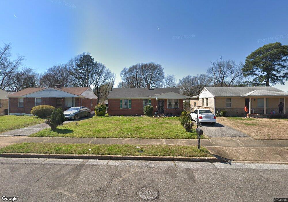
2355 Sparks St Memphis, TN 38106
Southeast Memphis NeighborhoodEstimated Value: $73,000 - $128,000
3
Beds
1
Bath
1,338
Sq Ft
$72/Sq Ft
Est. Value
About This Home
This home is located at 2355 Sparks St, Memphis, TN 38106 and is currently estimated at $95,873, approximately $71 per square foot. 2355 Sparks St is a home located in Shelby County with nearby schools including Hamilton High School, Believe Memphis Academy Charter School, and Memphis College Preparatory.
Ownership History
Date
Name
Owned For
Owner Type
Purchase Details
Closed on
Jul 14, 2022
Sold by
Clayton Stansbury
Bought by
Stansbury Pamela
Current Estimated Value
Purchase Details
Closed on
Jun 30, 2003
Sold by
Whitney Richard Carl and Whitney Reginald L
Bought by
Stansbury Curtys L
Home Financials for this Owner
Home Financials are based on the most recent Mortgage that was taken out on this home.
Original Mortgage
$66,920
Interest Rate
5.16%
Mortgage Type
FHA
Create a Home Valuation Report for This Property
The Home Valuation Report is an in-depth analysis detailing your home's value as well as a comparison with similar homes in the area
Home Values in the Area
Average Home Value in this Area
Purchase History
| Date | Buyer | Sale Price | Title Company |
|---|---|---|---|
| Stansbury Pamela | -- | None Listed On Document | |
| Stansbury Curtys L | $67,450 | Realty Title Hickory Ridge |
Source: Public Records
Mortgage History
| Date | Status | Borrower | Loan Amount |
|---|---|---|---|
| Previous Owner | Stansbury Curtys L | $66,920 |
Source: Public Records
Tax History Compared to Growth
Tax History
| Year | Tax Paid | Tax Assessment Tax Assessment Total Assessment is a certain percentage of the fair market value that is determined by local assessors to be the total taxable value of land and additions on the property. | Land | Improvement |
|---|---|---|---|---|
| 2025 | $400 | $17,950 | $1,875 | $16,075 |
| 2024 | $400 | $11,800 | $1,000 | $10,800 |
| 2023 | $719 | $11,800 | $1,000 | $10,800 |
| 2022 | $719 | $11,800 | $1,000 | $10,800 |
| 2021 | $727 | $11,800 | $1,000 | $10,800 |
| 2020 | $830 | $11,450 | $1,000 | $10,450 |
| 2019 | $830 | $11,450 | $1,000 | $10,450 |
| 2018 | $830 | $11,450 | $1,000 | $10,450 |
| 2017 | $471 | $11,450 | $1,000 | $10,450 |
| 2016 | $510 | $11,675 | $0 | $0 |
| 2014 | $510 | $11,675 | $0 | $0 |
Source: Public Records
Map
Nearby Homes
- 1495 Compton Ave
- 2377 Warren St
- 2386 Bridgeport Dr
- 1490 Lockhaven Ave
- 2428 Rozelle St
- 1473 Carlton Rd
- 0 Carlton Rd
- 1385 Eloise Rd
- 1408 Eloise Rd
- 2601 Darlene St
- 2180 Elvis Presley Blvd
- 1560 Cane Rd
- 2067 Corry Rd
- 2416 Verdun St
- 1078 N Ball Rd
- 2944 Millbranch Rd
- 1431 Ledger Rd
- 1832 Rozelle St
- 1824 Rozelle St
- 1790 Westmore St