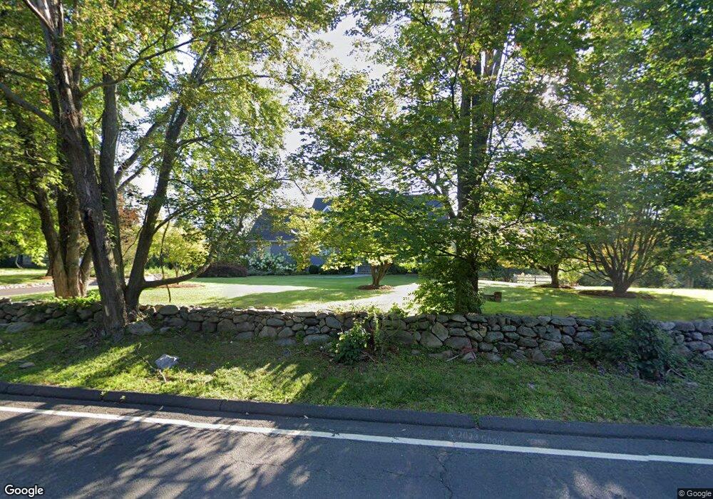
236 Georgetown Rd Weston, CT 06883
Estimated Value: $863,000 - $1,185,514
3
Beds
4
Baths
2,947
Sq Ft
$362/Sq Ft
Est. Value
About This Home
This home is located at 236 Georgetown Rd, Weston, CT 06883 and is currently estimated at $1,065,629, approximately $361 per square foot. 236 Georgetown Rd is a home located in Fairfield County with nearby schools including Hurlbutt Elementary School, Weston Intermediate School, and Weston Middle School.
Ownership History
Date
Name
Owned For
Owner Type
Purchase Details
Closed on
Jul 8, 2003
Sold by
Gilbertie Geraldine
Bought by
Deleo David A and Deleo Darlene
Current Estimated Value
Home Financials for this Owner
Home Financials are based on the most recent Mortgage that was taken out on this home.
Original Mortgage
$322,700
Interest Rate
5.46%
Create a Home Valuation Report for This Property
The Home Valuation Report is an in-depth analysis detailing your home's value as well as a comparison with similar homes in the area
Home Values in the Area
Average Home Value in this Area
Purchase History
| Date | Buyer | Sale Price | Title Company |
|---|---|---|---|
| Deleo David A | $500,000 | -- |
Source: Public Records
Mortgage History
| Date | Status | Borrower | Loan Amount |
|---|---|---|---|
| Closed | Deleo David A | $205,000 | |
| Closed | Deleo David A | $259,000 | |
| Closed | Deleo David A | $256,849 | |
| Closed | Deleo David A | $322,700 |
Source: Public Records
Tax History
| Year | Tax Paid | Tax Assessment Tax Assessment Total Assessment is a certain percentage of the fair market value that is determined by local assessors to be the total taxable value of land and additions on the property. | Land | Improvement |
|---|---|---|---|---|
| 2025 | $16,666 | $697,340 | $161,000 | $536,340 |
| 2024 | $16,367 | $697,340 | $161,000 | $536,340 |
| 2023 | $15,735 | $475,950 | $161,000 | $314,950 |
| 2022 | $15,692 | $475,950 | $161,000 | $314,950 |
| 2021 | $9,362 | $475,950 | $161,000 | $314,950 |
| 2020 | $15,407 | $475,950 | $161,000 | $314,950 |
| 2019 | $15,407 | $475,950 | $161,000 | $314,950 |
| 2018 | $14,645 | $498,300 | $184,800 | $313,500 |
| 2017 | $14,406 | $498,300 | $184,800 | $313,500 |
| 2016 | $14,231 | $498,300 | $184,800 | $313,500 |
| 2015 | $14,331 | $498,300 | $184,800 | $313,500 |
| 2014 | $14,072 | $498,300 | $184,800 | $313,500 |
Source: Public Records
Map
Nearby Homes
- 12 Godfrey Rd W
- 15 Mountain View Dr
- 4 Trails End Rd
- 28 Old Orchard Dr
- 14 Langner Ln
- 290 Newtown Turnpike
- 38 Honey Hill Rd
- 96 Georgetown Rd
- 30 Lords Hwy
- 475 Danbury Rd
- 76 Lords Hwy
- 41 Calvin Rd
- 146 Scribner Hill Rd
- 349 Mountain Rd
- 55 Liberty St
- 00 Old Mill Rd
- 76 Sturges Ridge Rd
- 0 Old Mill Rd
- 9 Woods End Ln
- 852 Danbury Rd
- 240 Georgetown Rd
- 232 Georgetown Rd
- 228 Georgetown Rd
- 245 Georgetown Rd
- 2 Cannondale Rd
- 250 Georgetown Rd Unit 2
- 250 Georgetown Rd
- 3 Cannondale Rd
- 1 Shinnecock Place
- 241 Georgetown Rd
- 226 Georgetown Rd
- 222 Georgetown Rd
- 246 Georgetown Rd
- 248 Georgetown Rd
- 244 Georgetown Rd
- 254 Georgetown Rd
- 7 Cannondale Rd
- 256 Georgetown Rd
- 237 Georgetown Rd
- 10 Cannondale Rd
Your Personal Tour Guide
Ask me questions while you tour the home.