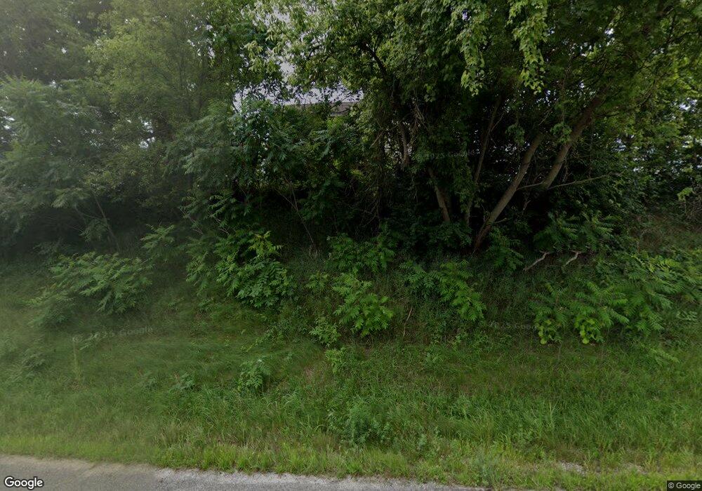
2362 E M 79 Hwy Hastings, MI 49058
Estimated Value: $337,377 - $404,000
--
Bed
1
Bath
2,235
Sq Ft
$162/Sq Ft
Est. Value
About This Home
This home is located at 2362 E M 79 Hwy, Hastings, MI 49058 and is currently estimated at $361,792, approximately $161 per square foot. 2362 E M 79 Hwy is a home located in Barry County with nearby schools including Hastings High School, Barry County Christian School, and St. Rose of Lima School.
Ownership History
Date
Name
Owned For
Owner Type
Purchase Details
Closed on
Oct 18, 2024
Sold by
Matthews Jessica L
Bought by
Matthews Gregory A
Current Estimated Value
Purchase Details
Closed on
Mar 27, 2009
Sold by
Quada Steven C and Quada Lauria A
Bought by
Matthews Gregory A and Matthews Jessica L
Home Financials for this Owner
Home Financials are based on the most recent Mortgage that was taken out on this home.
Original Mortgage
$88,369
Interest Rate
5.11%
Mortgage Type
FHA
Purchase Details
Closed on
Dec 11, 2008
Sold by
Quada Steven C and Quada Laurie A
Bought by
Girrbach Kenneth
Home Financials for this Owner
Home Financials are based on the most recent Mortgage that was taken out on this home.
Original Mortgage
$151,000
Interest Rate
6.49%
Mortgage Type
Future Advance Clause Open End Mortgage
Create a Home Valuation Report for This Property
The Home Valuation Report is an in-depth analysis detailing your home's value as well as a comparison with similar homes in the area
Home Values in the Area
Average Home Value in this Area
Purchase History
| Date | Buyer | Sale Price | Title Company |
|---|---|---|---|
| Matthews Gregory A | -- | None Listed On Document | |
| Matthews Gregory A | $90,000 | Fatic | |
| Girrbach Kenneth | $74,000 | Advantage Title & Escrow Age | |
| Sandborn Brent V | $197,000 | Advantage Title & Escrow Age |
Source: Public Records
Mortgage History
| Date | Status | Borrower | Loan Amount |
|---|---|---|---|
| Previous Owner | Matthews Gregory A | $88,369 | |
| Previous Owner | Sandborn Brent V | $151,000 |
Source: Public Records
Tax History Compared to Growth
Tax History
| Year | Tax Paid | Tax Assessment Tax Assessment Total Assessment is a certain percentage of the fair market value that is determined by local assessors to be the total taxable value of land and additions on the property. | Land | Improvement |
|---|---|---|---|---|
| 2025 | $2,054 | $160,800 | $0 | $0 |
| 2024 | $2,205 | $145,600 | $0 | $0 |
| 2023 | $2,054 | $108,600 | $0 | $0 |
| 2022 | $2,054 | $108,600 | $0 | $0 |
| 2021 | $2,054 | $114,000 | $0 | $0 |
| 2020 | $2,074 | $100,300 | $0 | $0 |
| 2019 | $2,074 | $93,100 | $0 | $0 |
| 2018 | $0 | $90,200 | $0 | $0 |
| 2017 | $0 | $85,000 | $0 | $0 |
| 2016 | -- | $80,700 | $0 | $0 |
| 2015 | -- | $75,800 | $0 | $0 |
| 2014 | -- | $75,800 | $0 | $0 |
Source: Public Records
Map
Nearby Homes
- 1625 Secluded Acres Dr
- 3261 River Ln
- 3275 S M 37 Hwy
- V/L Michigan 79
- 0 Michigan 79 Unit 25022518
- 1673 Nashville Rd
- 3103 Roush Rd
- 2101 Maple Ln
- 1634 Lavender Dr
- 916 Wintergreen Dr
- V/L Star School Rd
- Parc D Sager Rd
- Parc C Pokey Dr
- 1325 S Montgomery St
- 65 Sundago Park St
- 729 E Madison St
- 641 W Quimby Rd
- 628 E Madison St
- 838 S Dibble St
- 236 W Nelson St
- 2303 E M 79 Hwy
- 2500 E M 79 Hwy
- V/L Michigan 79
- 3106 Cedar Brook Ln
- 2121 E M 79 Hwy
- 2520 E M 79 Hwy
- 3122 Cedar Brook Dr
- 3050 Cedar Brook Dr
- 3084 Cedar Brook Dr
- 2049 E M 79 Hwy
- 2628 Cedar Brook Ln
- 0 Cedar Brook Ln Unit M15039743
- 0 Cedar Brook Ln Unit 65015039743
- 0 Cedar Brook Ln Unit PAR 3 3515172
- 0 Cedar Brook Ln Unit PAR 4 3507414
- 0 Cedar Brook Ln
- 2144 Coburn Rd
- 2010 E M 79 Hwy
- 2628 E Quimby Rd
- 1911 E M 79 Hwy
