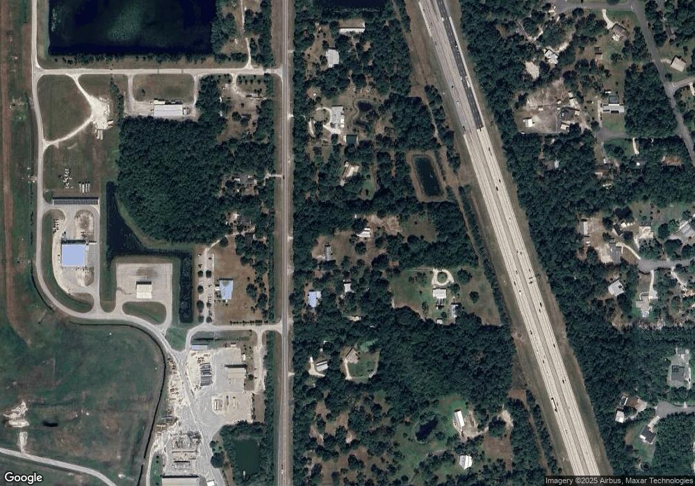
Estimated Value: $346,000 - $551,000
3
Beds
2
Baths
1,197
Sq Ft
$405/Sq Ft
Est. Value
About This Home
This home is located at 2365 Adamson Rd, Cocoa, FL 32926 and is currently estimated at $484,972, approximately $405 per square foot. 2365 Adamson Rd is a home located in Brevard County with nearby schools including Fairglen Elementary School and Cocoa High School.
Ownership History
Date
Name
Owned For
Owner Type
Purchase Details
Closed on
Mar 19, 1999
Sold by
Hogan Thomas A and Hogan Pamela J
Bought by
Berclund Rene
Current Estimated Value
Purchase Details
Closed on
Jun 30, 1994
Sold by
Petty Walter S and Petty Mary L
Bought by
Hogan Thomas A and Hogan Pamela J
Home Financials for this Owner
Home Financials are based on the most recent Mortgage that was taken out on this home.
Original Mortgage
$92,250
Interest Rate
8.51%
Create a Home Valuation Report for This Property
The Home Valuation Report is an in-depth analysis detailing your home's value as well as a comparison with similar homes in the area
Home Values in the Area
Average Home Value in this Area
Purchase History
| Date | Buyer | Sale Price | Title Company |
|---|---|---|---|
| Berclund Rene | $118,000 | -- | |
| Hogan Thomas A | $57,500 | -- |
Source: Public Records
Mortgage History
| Date | Status | Borrower | Loan Amount |
|---|---|---|---|
| Previous Owner | Hogan Thomas A | $92,250 |
Source: Public Records
Tax History
| Year | Tax Paid | Tax Assessment Tax Assessment Total Assessment is a certain percentage of the fair market value that is determined by local assessors to be the total taxable value of land and additions on the property. | Land | Improvement |
|---|---|---|---|---|
| 2025 | $1,775 | $138,970 | -- | -- |
| 2024 | $1,739 | $135,060 | -- | -- |
| 2023 | $1,739 | $131,130 | $0 | $0 |
| 2022 | $1,621 | $127,320 | $0 | $0 |
| 2021 | $1,637 | $123,620 | $0 | $0 |
| 2020 | $1,592 | $121,920 | $0 | $0 |
| 2019 | $1,532 | $119,180 | $0 | $0 |
| 2018 | $1,529 | $116,960 | $0 | $0 |
| 2017 | $1,533 | $114,560 | $0 | $0 |
| 2016 | $1,545 | $112,210 | $39,720 | $72,490 |
| 2015 | $1,558 | $111,430 | $39,720 | $71,710 |
| 2014 | $1,559 | $110,550 | $39,720 | $70,830 |
Source: Public Records
Map
Nearby Homes
- 6331 Quarterhorse Cir
- 6341 Pony Cir
- 931 Unknown
- 2524 Trotters Trail
- 5175 Dalehurst Dr
- 0 Jason Ave
- 4641 Talbot Blvd
- XXX 351
- xxx 368
- xxx 366
- XXX 352
- 0 Dyson Ave
- 4901 Talbot Blvd
- 4412 Talbot Blvd
- 1709 Morely Dr
- 5101 Craig Rd
- 1821 Saxton Rd
- 5092 Talbot Blvd
- 0 No Access (Titusville Fruit) Unit 1037909
- 000000 Unknown
- 2323 Adamson Rd
- 2405 Adamson Rd
- 2295 Adamson Rd
- 2420 Adamson Rd
- 2339 Adamson Rd
- 2473 Adamson Rd
- Unknown NE Unknown St
- Not Assign Unknown
- 0000 Burning Tree Ave Freda Tr
- 3789 Unknown Dr
- VACANT LAND LOT 17 Vacant Land Lot 16
- 2493 Adamson Rd
- 6341 Quarterhorse Cir
- 2205 Adamson Rd
- 0 & 00 Unknown
- 0 & 00 Adamson Rd
- 2165 Adamson Rd
- 6330 Quarterhorse Cir
- 2427 S Pacer Ln
- 0000 Guava St
