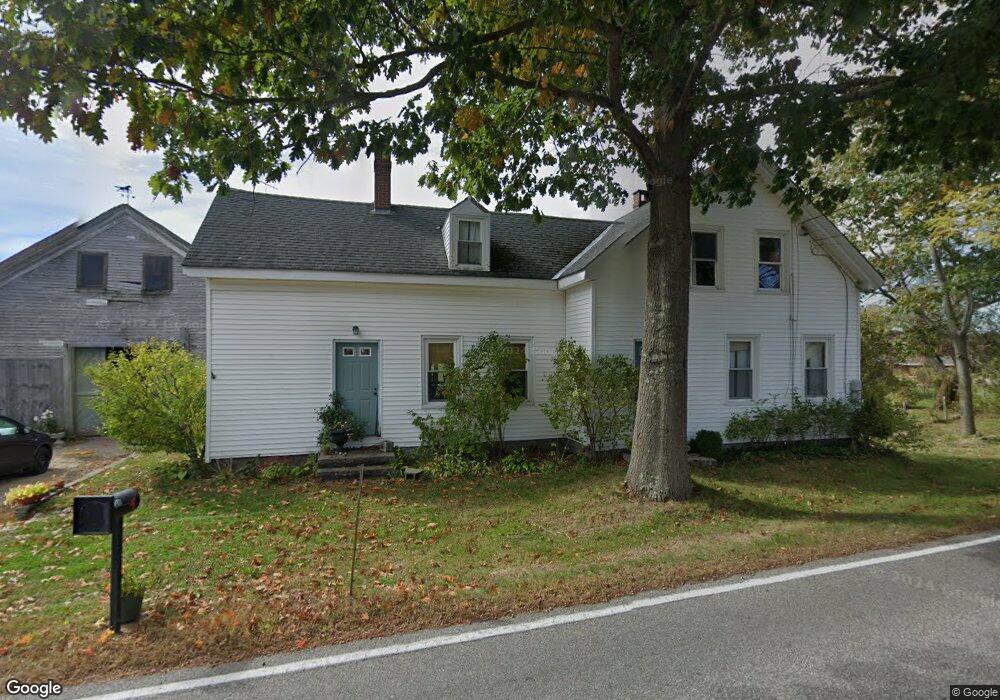
238 Flag Pond Rd Saco, ME 04072
North Saco NeighborhoodEstimated Value: $501,000 - $643,000
3
Beds
1
Bath
1,770
Sq Ft
$316/Sq Ft
Est. Value
About This Home
This home is located at 238 Flag Pond Rd, Saco, ME 04072 and is currently estimated at $559,457, approximately $316 per square foot. 238 Flag Pond Rd is a home located in York County with nearby schools including C K Burns School, Saco Middle School, and Florence Lombard Christian School.
Ownership History
Date
Name
Owned For
Owner Type
Purchase Details
Closed on
Nov 14, 2022
Sold by
Tripp Joel F and Tripp Anne H
Bought by
Tripp Dana and Spetla Harold G
Current Estimated Value
Home Financials for this Owner
Home Financials are based on the most recent Mortgage that was taken out on this home.
Original Mortgage
$407,921
Outstanding Balance
$393,536
Interest Rate
6.92%
Mortgage Type
Purchase Money Mortgage
Estimated Equity
$165,921
Purchase Details
Closed on
Jul 8, 2013
Sold by
Tripp Forrest E and Tripp Ruth P
Bought by
Tripp Joel F and Tripp Anne H
Create a Home Valuation Report for This Property
The Home Valuation Report is an in-depth analysis detailing your home's value as well as a comparison with similar homes in the area
Home Values in the Area
Average Home Value in this Area
Purchase History
| Date | Buyer | Sale Price | Title Company |
|---|---|---|---|
| Tripp Dana | $429,390 | None Available | |
| Tripp Dana | $429,390 | None Available | |
| Tripp Dana | $429,390 | None Available | |
| Tripp Joel F | -- | -- | |
| Tripp Joel F | -- | -- | |
| Tripp Joel F | -- | -- |
Source: Public Records
Mortgage History
| Date | Status | Borrower | Loan Amount |
|---|---|---|---|
| Open | Tripp Dana | $407,921 | |
| Closed | Tripp Dana | $407,921 |
Source: Public Records
Tax History
| Year | Tax Paid | Tax Assessment Tax Assessment Total Assessment is a certain percentage of the fair market value that is determined by local assessors to be the total taxable value of land and additions on the property. | Land | Improvement |
|---|---|---|---|---|
| 2024 | $5,161 | $367,300 | $152,100 | $215,200 |
| 2023 | $5,418 | $367,300 | $152,100 | $215,200 |
| 2022 | $5,094 | $277,900 | $116,700 | $161,200 |
| 2021 | $4,945 | $261,900 | $105,400 | $156,500 |
| 2020 | $4,729 | $240,400 | $93,300 | $147,100 |
| 2019 | $4,659 | $240,400 | $93,300 | $147,100 |
| 2018 | $4,498 | $232,100 | $85,000 | $147,100 |
| 2017 | $4,312 | $222,500 | $78,000 | $144,500 |
| 2016 | $4,142 | $213,300 | $60,400 | $152,900 |
| 2015 | $4,057 | $211,100 | $59,700 | $151,400 |
| 2014 | $3,955 | $212,400 | $61,000 | $151,400 |
| 2013 | $3,946 | $212,400 | $61,000 | $151,400 |
Source: Public Records
Map
Nearby Homes
- 1 Shamrock Dr
- 4 Blueberry Ave
- 994 Portland Rd Unit 14
- 75 Ash Swamp Rd
- 5 Coltons Way
- 4 Spool St Unit 101
- 159 Stewart Dr
- 22 A Meserve Cir
- 155 Stewart Dr
- 19 Pheasant Rd
- 153 Stewart Dr
- 10 Dode Rd
- 149 Stewart Dr
- 800 Portland Rd
- 90 Broadturn Rd Unit 9
- 58 Pheasant Rd
- 4 Sparrow Rd
- 29 Mccann Way Unit 29
- 91 B Broadturn Rd
- 6 Castle Terrace
- 245 Flag Pond Rd
- 242 Flag Pond Rd
- 3 Hearn Rd
- 253 Flag Pond Rd
- 235 Flag Pond Rd
- 229 Flag Pond Rd
- 14 Hearn Rd
- 15 Hearn Rd
- 15 Hearn Rd
- 263 Flag Pond Rd
- 225 Flag Pond Rd
- 18 Hearn Rd
- 2 Perkins Way
- 221 Flag Pond Rd
- 23 Hearn Rd
- 26 Hearn Rd
- 262 Jenkins Rd Unit Lot 2 of Plan
- 264 Jenkins Rd
- 21 Hearn Rd
- 260 Jenkins Rd
Your Personal Tour Guide
Ask me questions while you tour the home.