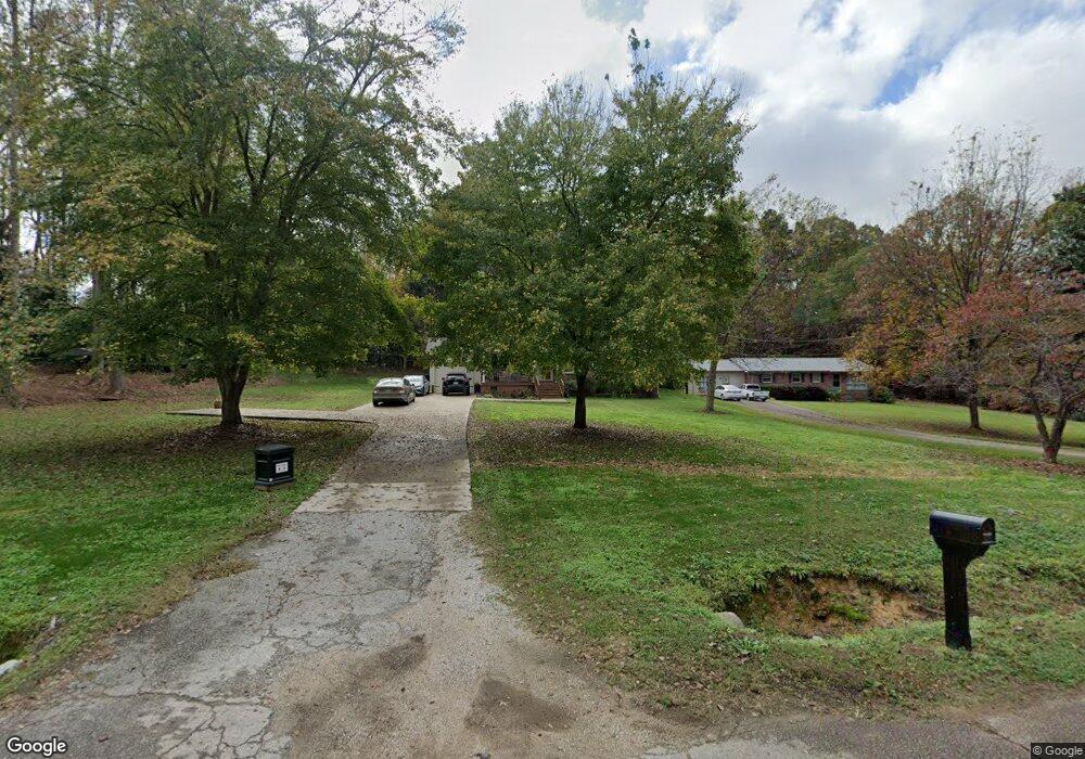
2382 Watts Dr Lancaster, SC 29720
Estimated Value: $145,502 - $249,000
Studio
1
Bath
1,418
Sq Ft
$148/Sq Ft
Est. Value
About This Home
This home is located at 2382 Watts Dr, Lancaster, SC 29720 and is currently estimated at $209,376, approximately $147 per square foot. 2382 Watts Dr is a home located in Lancaster County with nearby schools including Brooklyn Springs Elementary School, South Middle School, and Lancaster High School.
Ownership History
Date
Name
Owned For
Owner Type
Purchase Details
Closed on
Mar 20, 2007
Sold by
Raffaldt Lee Roy and Raffaldt Brenda C
Bought by
Robinson Jaqueline
Current Estimated Value
Home Financials for this Owner
Home Financials are based on the most recent Mortgage that was taken out on this home.
Original Mortgage
$103,377
Outstanding Balance
$62,298
Interest Rate
6.18%
Mortgage Type
FHA
Estimated Equity
$147,078
Create a Home Valuation Report for This Property
The Home Valuation Report is an in-depth analysis detailing your home's value as well as a comparison with similar homes in the area
Home Values in the Area
Average Home Value in this Area
Purchase History
| Date | Buyer | Sale Price | Title Company |
|---|---|---|---|
| Robinson Jaqueline | $105,000 | None Available |
Source: Public Records
Mortgage History
| Date | Status | Borrower | Loan Amount |
|---|---|---|---|
| Open | Robinson Jaqueline | $103,377 |
Source: Public Records
Tax History
| Year | Tax Paid | Tax Assessment Tax Assessment Total Assessment is a certain percentage of the fair market value that is determined by local assessors to be the total taxable value of land and additions on the property. | Land | Improvement |
|---|---|---|---|---|
| 2024 | $502 | $3,272 | $444 | $2,828 |
| 2023 | $500 | $3,272 | $444 | $2,828 |
| 2022 | $498 | $3,272 | $444 | $2,828 |
| 2021 | $487 | $3,272 | $444 | $2,828 |
| 2020 | $488 | $3,176 | $444 | $2,732 |
| 2019 | $1,075 | $3,176 | $444 | $2,732 |
| 2018 | $1,035 | $3,176 | $444 | $2,732 |
| 2017 | $476 | $0 | $0 | $0 |
| 2016 | $465 | $0 | $0 | $0 |
| 2015 | $392 | $0 | $0 | $0 |
| 2014 | $392 | $0 | $0 | $0 |
| 2013 | $392 | $0 | $0 | $0 |
Source: Public Records
Map
Nearby Homes
- TBD Theron Cir
- 1670 Lynwood Dr
- 1675 Old Lynwood Cir
- 1832 Old Lynwood Cir
- 2282 White Pine Ct
- 1641 Converse St
- 2211 Airport Rd
- 1654 Winthrop Ave
- 1616 Franandel Dr
- 1960 Powell Ave
- 00 Lynwood Dr
- 1964 Powell Ave
- 3042 Crenson Dr
- 3038 Crenson Dr
- 3028 Crenson Dr
- 3020 Crenson Dr
- 2040 Athena Rd
- 2018 Evans Dr
- 2028 Evans Dr
- 2085 Athena Rd
Your Personal Tour Guide
Ask me questions while you tour the home.