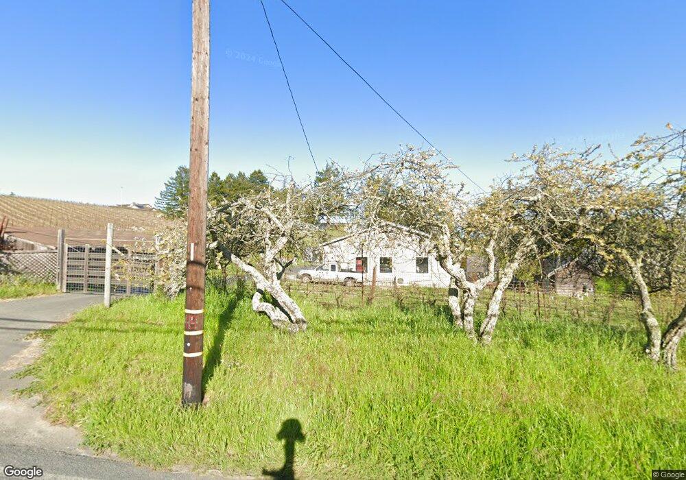
2385 Burnside Rd Sebastopol, CA 95472
Estimated Value: $857,000 - $1,323,000
2
Beds
1
Bath
1,050
Sq Ft
$984/Sq Ft
Est. Value
About This Home
This home is located at 2385 Burnside Rd, Sebastopol, CA 95472 and is currently estimated at $1,033,681, approximately $984 per square foot. 2385 Burnside Rd is a home located in Sonoma County with nearby schools including Apple Blossom School, Analy High School, and Twin Hills Charter Middle School.
Ownership History
Date
Name
Owned For
Owner Type
Purchase Details
Closed on
Nov 4, 2010
Sold by
Gaston Wesley L and Gaston Gail J
Bought by
Plenty Donald C and Plenty Jan
Current Estimated Value
Home Financials for this Owner
Home Financials are based on the most recent Mortgage that was taken out on this home.
Original Mortgage
$417,000
Outstanding Balance
$275,131
Interest Rate
4.27%
Mortgage Type
New Conventional
Estimated Equity
$758,550
Purchase Details
Closed on
Nov 30, 2004
Sold by
Gaston Wesley L and Gaston Gail J
Bought by
Gaston Wesley L and Gaston Gail J
Create a Home Valuation Report for This Property
The Home Valuation Report is an in-depth analysis detailing your home's value as well as a comparison with similar homes in the area
Purchase History
| Date | Buyer | Sale Price | Title Company |
|---|---|---|---|
| Plenty Donald C | $525,000 | First American Title Company | |
| Gaston Wesley L | -- | -- |
Source: Public Records
Mortgage History
| Date | Status | Borrower | Loan Amount |
|---|---|---|---|
| Open | Plenty Donald C | $417,000 |
Source: Public Records
Tax History
| Year | Tax Paid | Tax Assessment Tax Assessment Total Assessment is a certain percentage of the fair market value that is determined by local assessors to be the total taxable value of land and additions on the property. | Land | Improvement |
|---|---|---|---|---|
| 2025 | $8,314 | $706,579 | $384,346 | $322,233 |
| 2024 | $8,314 | $692,725 | $376,810 | $315,915 |
| 2023 | $8,314 | $679,142 | $369,422 | $315,872 |
| 2022 | $7,905 | $665,829 | $362,179 | $309,682 |
| 2021 | $7,749 | $652,913 | $355,078 | $297,835 |
| 2020 | $7,784 | $646,221 | $351,438 | $294,783 |
| 2019 | $7,426 | $633,553 | $344,548 | $289,005 |
| 2018 | $7,305 | $621,133 | $337,793 | $283,340 |
| 2017 | $6,662 | $579,544 | $331,170 | $248,374 |
| 2016 | $6,553 | $568,182 | $324,677 | $243,505 |
| 2015 | $6,336 | $559,649 | $319,801 | $239,848 |
| 2014 | $6,209 | $548,688 | $313,537 | $235,151 |
Source: Public Records
Map
Nearby Homes
- 10966 Barnett Valley Rd
- 459 Gold Ridge Rd
- 3590 Burnside Rd
- 189 Wagnon Rd
- 0 Bodega Hwy
- 1025 Laurel Ave
- 940 Ferguson Rd
- 789 Pleasant Hill Rd
- 790 Ferguson Rd
- 808 Grandview Rd
- 8148 Bodega Ave
- 8086 Bodega Ave
- 200 Pleasant Hill Ave N
- 1430 Santa Maria Way
- 8061 Elphick Rd
- 8091 Hill Dr
- 7859 Anthony St
- 7950 Viola Ct
- 7720 Bodega Ave Unit 3
- 1365 Grandview Rd
- 2385 Burnside Rd
- 2405 Burnside Rd
- 2400 Burnside Rd
- 2334 Burnside Rd
- 2387 Burnside Rd
- 2324 Burnside Rd
- 2461 Burnside Rd
- 1286 Sexton Rd
- 2506 Burnside Rd
- 2508 Burnside Rd
- 2415 Burnside Rd
- 2511 Burnside Rd
- 2211 Burnside Rd
- 2510 Burnside Rd
- 2391 Burnside Rd
- 2205 Burnside Rd
- 2519 Burnside Rd
- 1400 W Sexton Rd
- 2515 Burnside Rd
- 2447 Burnside Rd
Your Personal Tour Guide
Ask me questions while you tour the home.