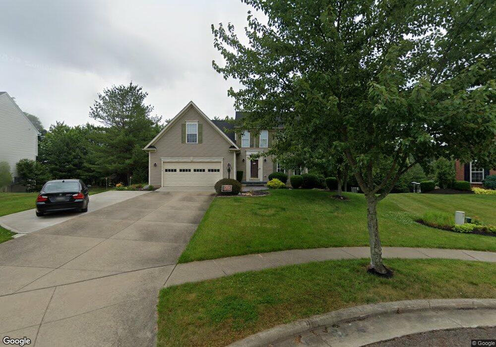
2385 Handforth St Uniontown, OH 44685
Estimated Value: $375,000 - $487,000
3
Beds
4
Baths
2,458
Sq Ft
$172/Sq Ft
Est. Value
About This Home
This home is located at 2385 Handforth St, Uniontown, OH 44685 and is currently estimated at $423,227, approximately $172 per square foot. 2385 Handforth St is a home located in Summit County with nearby schools including Greenwood Elementary School, Green Intermediate Elementary School, and Green Primary School.
Ownership History
Date
Name
Owned For
Owner Type
Purchase Details
Closed on
Sep 20, 2004
Sold by
Nvr Inc
Bought by
Moser Robert D and Moser Ellyn N
Current Estimated Value
Home Financials for this Owner
Home Financials are based on the most recent Mortgage that was taken out on this home.
Original Mortgage
$195,732
Outstanding Balance
$89,587
Interest Rate
4.75%
Mortgage Type
Unknown
Estimated Equity
$333,640
Purchase Details
Closed on
Jul 14, 2004
Sold by
Union Square Investments Ltd
Bought by
Nvr Inc and Ryan Homes
Create a Home Valuation Report for This Property
The Home Valuation Report is an in-depth analysis detailing your home's value as well as a comparison with similar homes in the area
Home Values in the Area
Average Home Value in this Area
Purchase History
| Date | Buyer | Sale Price | Title Company |
|---|---|---|---|
| Moser Robert D | $244,665 | Nvr Title Agency Llc | |
| Nvr Inc | $45,000 | Miller Examining Service Inc |
Source: Public Records
Mortgage History
| Date | Status | Borrower | Loan Amount |
|---|---|---|---|
| Open | Moser Robert D | $195,732 | |
| Closed | Moser Robert D | $36,699 |
Source: Public Records
Tax History Compared to Growth
Tax History
| Year | Tax Paid | Tax Assessment Tax Assessment Total Assessment is a certain percentage of the fair market value that is determined by local assessors to be the total taxable value of land and additions on the property. | Land | Improvement |
|---|---|---|---|---|
| 2025 | $5,983 | $125,798 | $21,746 | $104,052 |
| 2024 | $5,983 | $125,798 | $21,746 | $104,052 |
| 2023 | $5,983 | $125,798 | $21,746 | $104,052 |
| 2022 | $4,845 | $91,312 | $15,757 | $75,555 |
| 2021 | $4,548 | $91,312 | $15,757 | $75,555 |
| 2020 | $4,460 | $91,320 | $15,760 | $75,560 |
| 2019 | $4,554 | $87,420 | $15,600 | $71,820 |
| 2018 | $4,654 | $87,420 | $15,600 | $71,820 |
| 2017 | $4,453 | $87,420 | $15,600 | $71,820 |
| 2016 | $4,430 | $78,430 | $15,600 | $62,830 |
| 2015 | $4,453 | $78,430 | $15,600 | $62,830 |
| 2014 | $4,423 | $78,430 | $15,600 | $62,830 |
| 2013 | $4,446 | $78,430 | $15,600 | $62,830 |
Source: Public Records
Map
Nearby Homes
- 4116 Southwyck Rd
- 4570 Cynthia Dr
- 4611 Max Rd
- 4313 Evergreen Ct Unit 66
- 4328 Evergreen Ct Unit 52
- 4304 Evergreen Ct Unit 61
- 4332 Evergreen Ct
- Portico Plan at The Courtyards at New Seasons
- Palazzo Plan at The Courtyards at New Seasons
- 4451 Dogwood Ct Unit 31
- Rockaway Plan at The Courtyards at New Seasons
- Capri Plan at The Courtyards at New Seasons
- Promenade Plan at The Courtyards at New Seasons
- Torino Plan at The Courtyards at New Seasons
- 2080 Hawthorn Ct
- 1990 Tricaso Dr
- V/L Massillon Rd
- 2335 Greensburg Rd
- 4674 Massillon Rd
- 4786 Mayfair Rd
- 2377 Handforth St
- 2393 Handforth St
- 2369 Handforth St
- 2392 Handforth St
- 2401 Handforth St
- 2382 Handforth St
- 2370 Handforth St
- 2361 Handforth St
- 2360 Handforth St
- 2353 Handforth St
- 2352 Handforth St
- 2341 Chadwell Cir
- 2168 Wise Rd
- 2180 Wise Rd
- 2331 Chadwell Cir
- 2345 Handforth St
- 4425 Max Rd
- 2344 Handforth St
- 2222 Wise Rd Unit 2226
- 2321 Chadwell Cir
