Estimated Value: $255,054 - $303,000
Studio
2
Baths
1,141
Sq Ft
$238/Sq Ft
Est. Value
About This Home
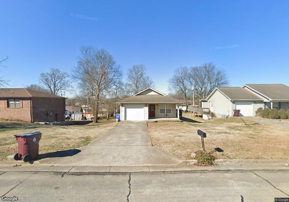
This home is located at 239 E Howe St, Alcoa, TN 37701 and is currently estimated at $272,014, approximately $238 per square foot. 239 E Howe St is a home located in Blount County with nearby schools including Alcoa Elementary School, Alcoa Middle School, and Alcoa High School.
Ownership History
Date
Name
Owned For
Owner Type
Purchase Details
Closed on
Jun 9, 2010
Sold by
Peoples Home Equity
Bought by
Knox Housing Partnership Inc
Current Estimated Value
Purchase Details
Closed on
Mar 3, 2010
Bought by
Sec Of Housing & Urban Dev % Pyramid Real Est
Purchase Details
Closed on
Dec 10, 2009
Sold by
Pratt Nathaniel L
Bought by
Peoples Home Equity
Purchase Details
Closed on
Apr 29, 2008
Sold by
Jarrett Iuluse and Jarrett Dorothy B
Bought by
Pratt Nathaniel L
Home Financials for this Owner
Home Financials are based on the most recent Mortgage that was taken out on this home.
Original Mortgage
$111,746
Interest Rate
5.86%
Purchase Details
Closed on
Jul 19, 2007
Sold by
Jarrett Iuluse and Jarrett Dorothy B
Bought by
Kerr Joel
Home Financials for this Owner
Home Financials are based on the most recent Mortgage that was taken out on this home.
Original Mortgage
$96,000
Interest Rate
6.65%
Purchase Details
Closed on
Oct 13, 2006
Sold by
Watson Joseph D
Bought by
Jarrett Iuluse
Purchase Details
Closed on
Oct 8, 1985
Bought by
Watson Joseph D and Watson Thelma M
Create a Home Valuation Report for This Property
The Home Valuation Report is an in-depth analysis detailing your home's value as well as a comparison with similar homes in the area
Home Values in the Area
Average Home Value in this Area
Purchase History
| Date | Buyer | Sale Price | Title Company |
|---|---|---|---|
| Knox Housing Partnership Inc | $114,000 | -- | |
| Sec Of Housing & Urban Dev % Pyramid Real Est | $119,800 | -- | |
| Peoples Home Equity | $119,820 | -- | |
| Pratt Nathaniel L | $113,500 | -- | |
| Kerr Joel | $10,000 | -- | |
| Jarrett Iuluse | $7,000 | -- | |
| Watson Joseph D | -- | -- |
Source: Public Records
Mortgage History
| Date | Status | Borrower | Loan Amount |
|---|---|---|---|
| Previous Owner | Watson Joseph D | $111,746 | |
| Previous Owner | Watson Joseph D | $96,000 |
Source: Public Records
Tax History
| Year | Tax Paid | Tax Assessment Tax Assessment Total Assessment is a certain percentage of the fair market value that is determined by local assessors to be the total taxable value of land and additions on the property. | Land | Improvement |
|---|---|---|---|---|
| 2025 | -- | $54,875 | $7,500 | $47,375 |
| 2024 | -- | $54,875 | $7,500 | $47,375 |
| 2023 | $1,800 | $54,875 | $7,500 | $47,375 |
| 2022 | $1,467 | $30,950 | $4,750 | $26,200 |
| 2021 | $1,467 | $30,950 | $4,750 | $26,200 |
| 2020 | $1,467 | $30,950 | $4,750 | $26,200 |
| 2019 | $1,467 | $30,950 | $4,750 | $26,200 |
| 2018 | $1,230 | $27,775 | $2,250 | $25,525 |
| 2017 | $1,230 | $27,775 | $2,250 | $25,525 |
| 2016 | $1,230 | $27,775 | $2,250 | $25,525 |
| 2015 | $1,142 | $27,775 | $2,250 | $25,525 |
| 2014 | $1,192 | $27,775 | $2,250 | $25,525 |
| 2013 | $1,192 | $29,000 | $0 | $0 |
Source: Public Records
Map
Nearby Homes
- 181 E Edison St
- 124 E Franklin St
- 232 W Stephenson St
- 360 N Wright Rd
- 0 N Wright Rd
- 1240 N Wright Rd
- 1443 Aberdeen Dr
- 1372 Remsen St
- 1362 Dalton St
- 922 Poplar St
- 978 N Linden Dr
- 602 Mcginley St
- 966 Poplar St
- 104 Roosevelt St
- 604 Middle St
- 1310 Madison Ave
- 507 Rule St
- 1826 Peppertree Dr
- 404 N 5th St
- 304 W Lincoln Rd
- 235 E Howe St
- 243 E Howe St
- 242 E Edison St
- 236 E Edison St
- 832 Morse St
- 248 E Edison St
- 826 Morse St
- 230 E Edison St
- 227 E Howe St
- 822 Morse St
- 222 E Edison St
- 816 Morse St
- 237 E Edison St
- 218 E Edison St
- 268 E Edison St
- 233 E Edison St
- 227 E Edison St
- 253 E Edison St
- 212 E Edison St
- 259 E Edison St
Your Personal Tour Guide
Ask me questions while you tour the home.