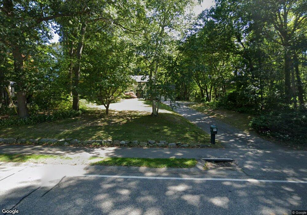
239 Gannett Rd Scituate, MA 02066
Estimated Value: $1,001,497 - $1,223,000
4
Beds
3
Baths
2,296
Sq Ft
$490/Sq Ft
Est. Value
About This Home
This home is located at 239 Gannett Rd, Scituate, MA 02066 and is currently estimated at $1,124,374, approximately $489 per square foot. 239 Gannett Rd is a home located in Plymouth County with nearby schools including Hatherly Elementary School, Lester J. Gates Middle School, and Scituate High School.
Ownership History
Date
Name
Owned For
Owner Type
Purchase Details
Closed on
Sep 10, 2025
Sold by
Davis Vicki S
Bought by
Vicki Davis 2025 T and Vicki Davis
Current Estimated Value
Purchase Details
Closed on
Dec 12, 1988
Sold by
Yudis Anthony J
Bought by
Davis Kenneth D
Purchase Details
Closed on
Jan 23, 1987
Sold by
Orchard Rd Rt
Bought by
Yupra Rt
Create a Home Valuation Report for This Property
The Home Valuation Report is an in-depth analysis detailing your home's value as well as a comparison with similar homes in the area
Home Values in the Area
Average Home Value in this Area
Purchase History
| Date | Buyer | Sale Price | Title Company |
|---|---|---|---|
| Vicki Davis 2025 T | -- | -- | |
| Vicki Davis 2025 T | -- | -- | |
| Davis Kenneth D | $275,000 | -- | |
| Yupra Rt | $100,000 | -- |
Source: Public Records
Mortgage History
| Date | Status | Borrower | Loan Amount |
|---|---|---|---|
| Previous Owner | Yupra Rt | $100,000 | |
| Previous Owner | Yupra Rt | $67,300 | |
| Previous Owner | Yupra Rt | $30,000 |
Source: Public Records
Tax History Compared to Growth
Tax History
| Year | Tax Paid | Tax Assessment Tax Assessment Total Assessment is a certain percentage of the fair market value that is determined by local assessors to be the total taxable value of land and additions on the property. | Land | Improvement |
|---|---|---|---|---|
| 2025 | $7,941 | $794,900 | $367,800 | $427,100 |
| 2024 | $7,803 | $753,200 | $334,300 | $418,900 |
| 2023 | $8,093 | $709,800 | $321,800 | $388,000 |
| 2022 | $8,093 | $641,300 | $311,500 | $329,800 |
| 2021 | $7,834 | $587,700 | $296,700 | $291,000 |
| 2020 | $7,595 | $562,600 | $285,300 | $277,300 |
| 2019 | $7,486 | $544,800 | $279,700 | $265,100 |
| 2018 | $7,285 | $522,200 | $277,900 | $244,300 |
| 2017 | $7,062 | $501,200 | $266,300 | $234,900 |
| 2016 | $6,759 | $478,000 | $243,100 | $234,900 |
| 2015 | $6,111 | $466,500 | $231,600 | $234,900 |
Source: Public Records
Map
Nearby Homes
- 7 Border St
- 26 Mordecai Lincoln Rd
- 29 Country Club Cir
- 817 Country Way
- 392 S Main St
- 11 Forest Ln
- 9 Forest Ln Unit 9
- 22 Forest Ln Unit 22
- 27 Ann Vinal Rd
- 96 Black Horse Ln
- 40 Beechwood St
- 70 Black Horse Ln
- 10 Baileys Causeway
- 8 Trudys Ln
- 24 Wood Island Rd
- 68 Black Horse Ln
- 9 Kyle Path
- 98 Black Horse Ln
- 54 Woodland Rd
- 378 Tilden Rd