239 Macdougall Ln Unit 55D Blacklick, OH 43004
East Broad NeighborhoodEstimated Value: $169,000 - $183,000
2
Beds
1
Bath
896
Sq Ft
$196/Sq Ft
Est. Value
About This Home
This home is located at 239 Macdougall Ln Unit 55D, Blacklick, OH 43004 and is currently estimated at $175,178, approximately $195 per square foot. 239 Macdougall Ln Unit 55D is a home located in Franklin County with nearby schools including Olde Orchard Elementary School, Sherwood Middle School, and Walnut Ridge High School.
Ownership History
Date
Name
Owned For
Owner Type
Purchase Details
Closed on
Apr 21, 2000
Sold by
Taylor Carol J and Taylor Carol J
Bought by
Mckenzie Marie E
Current Estimated Value
Home Financials for this Owner
Home Financials are based on the most recent Mortgage that was taken out on this home.
Original Mortgage
$69,350
Interest Rate
8.24%
Mortgage Type
Purchase Money Mortgage
Purchase Details
Closed on
Feb 16, 1995
Sold by
Qualstan Corp
Bought by
Taylor Carol J
Home Financials for this Owner
Home Financials are based on the most recent Mortgage that was taken out on this home.
Original Mortgage
$50,900
Interest Rate
9.26%
Mortgage Type
FHA
Create a Home Valuation Report for This Property
The Home Valuation Report is an in-depth analysis detailing your home's value as well as a comparison with similar homes in the area
Home Values in the Area
Average Home Value in this Area
Purchase History
| Date | Buyer | Sale Price | Title Company |
|---|---|---|---|
| Mckenzie Marie E | $71,500 | -- | |
| Taylor Carol J | $70,900 | -- |
Source: Public Records
Mortgage History
| Date | Status | Borrower | Loan Amount |
|---|---|---|---|
| Previous Owner | Mckenzie Marie E | $69,350 | |
| Previous Owner | Taylor Carol J | $50,900 |
Source: Public Records
Tax History
| Year | Tax Paid | Tax Assessment Tax Assessment Total Assessment is a certain percentage of the fair market value that is determined by local assessors to be the total taxable value of land and additions on the property. | Land | Improvement |
|---|---|---|---|---|
| 2025 | $1,844 | $50,890 | $9,450 | $41,440 |
| 2024 | $1,844 | $50,890 | $9,450 | $41,440 |
| 2023 | $1,848 | $50,890 | $9,450 | $41,440 |
| 2022 | $1,142 | $30,770 | $3,820 | $26,950 |
| 2021 | $1,144 | $30,770 | $3,820 | $26,950 |
| 2020 | $1,146 | $30,770 | $3,820 | $26,950 |
| 2019 | $673 | $19,850 | $2,450 | $17,400 |
| 2018 | $682 | $19,850 | $2,450 | $17,400 |
| 2017 | $673 | $19,850 | $2,450 | $17,400 |
| 2016 | $763 | $20,270 | $2,490 | $17,780 |
| 2015 | $693 | $20,270 | $2,490 | $17,780 |
| 2014 | $694 | $20,270 | $2,490 | $17,780 |
| 2013 | $449 | $23,835 | $2,905 | $20,930 |
Source: Public Records
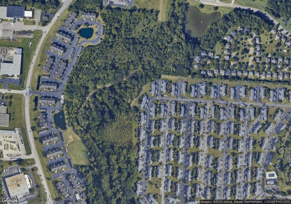
Map
Nearby Homes
- 217 MacAndrews Way Unit 61C
- 175 MacEnroe Dr Unit 32F
- 167 MacEnroe Dr Unit 32B
- 7450 Call Rd Unit 99E
- 7403 Kirkdale Dr Unit 2b
- 7500 Call Rd Unit 110F
- 593 Mulberry St
- 385 Rocky Springs Dr
- 71 Villa Side Ln
- 156 Sandrala Dr Unit 26
- 156 Orchard Oak Dr
- 206 Long Cay Ln
- 7197 Serenoa Dr
- 7330 Woodlow Dr
- 640 Kingshurst Dr
- 145 Shadymere Ln Unit 5
- 142 Villamere Dr Unit 6
- 7171 Daugherty Dr
- 646 Fairbury Way Unit 14-B
- 7887 Antonio Ln
- 237 Macdougall Ln
- 235 Macdougall Ln
- 233 Macdougall Ln Unit 65A
- 233 Macdougall Ln Unit 55A
- 243 Macdougall Ln
- 241 Macdougall Ln Unit 55E
- 236 Macdougall Ln
- 238 Macdougall Ln
- 238 Macdougall Ln Unit 54A
- 227 Macdougall Ln
- 232 Macdougall Ln Unit 54D
- 225 Macdougall Ln
- 230 Macdougall Ln
- 230 Macdougall Ln Unit 54e
- 7200 Donovan Dr Unit 56A
- 223 Macdougall Ln
- 223 Macdougall Ln Unit 53D
- 228 Macdougall Ln Unit 54F
- 7202 Donovan Dr Unit 56B
- 221 Macdougall Ln Unit C
Your Personal Tour Guide
Ask me questions while you tour the home.