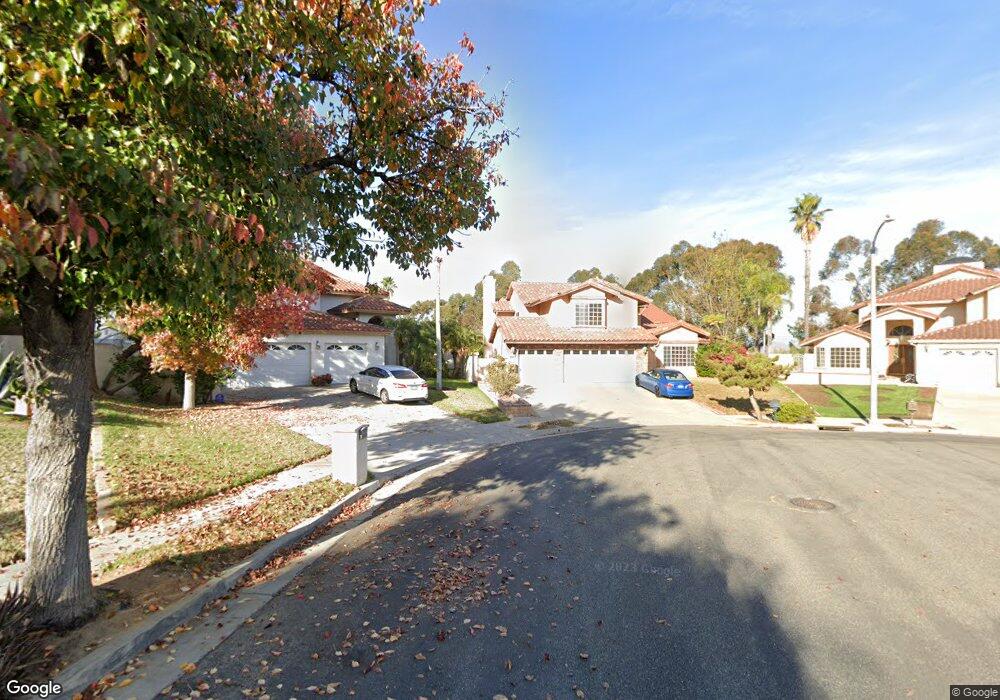
2390 Independence Cir Corona, CA 92882
South Corona NeighborhoodEstimated Value: $867,263 - $1,009,000
4
Beds
3
Baths
2,743
Sq Ft
$337/Sq Ft
Est. Value
About This Home
This home is located at 2390 Independence Cir, Corona, CA 92882 and is currently estimated at $925,316, approximately $337 per square foot. 2390 Independence Cir is a home located in Riverside County with nearby schools including John Adams Elementary School, Letha Raney Intermediate School, and Corona High School.
Ownership History
Date
Name
Owned For
Owner Type
Purchase Details
Closed on
Dec 7, 2007
Sold by
Kuntz William M and Kuntz Susaniel M Kesling
Bought by
Kuntz Susaniel M Kesling
Current Estimated Value
Home Financials for this Owner
Home Financials are based on the most recent Mortgage that was taken out on this home.
Original Mortgage
$286,000
Interest Rate
6.2%
Mortgage Type
New Conventional
Purchase Details
Closed on
Mar 22, 1999
Sold by
Kuntz William Darrell and Kuntz Roberta J
Bought by
Kuntz William M and Kesling Kuntz Susaniel M
Home Financials for this Owner
Home Financials are based on the most recent Mortgage that was taken out on this home.
Original Mortgage
$218,500
Interest Rate
7.04%
Create a Home Valuation Report for This Property
The Home Valuation Report is an in-depth analysis detailing your home's value as well as a comparison with similar homes in the area
Home Values in the Area
Average Home Value in this Area
Purchase History
| Date | Buyer | Sale Price | Title Company |
|---|---|---|---|
| Kuntz Susaniel M Kesling | -- | None Available | |
| Kuntz William M | -- | Old Republic Title Company |
Source: Public Records
Mortgage History
| Date | Status | Borrower | Loan Amount |
|---|---|---|---|
| Closed | Kuntz Susaniel M Kesling | $286,000 | |
| Closed | Kuntz William M | $218,500 |
Source: Public Records
Tax History
| Year | Tax Paid | Tax Assessment Tax Assessment Total Assessment is a certain percentage of the fair market value that is determined by local assessors to be the total taxable value of land and additions on the property. | Land | Improvement |
|---|---|---|---|---|
| 2025 | $3,879 | $356,974 | $44,228 | $312,746 |
| 2023 | $3,879 | $343,113 | $42,511 | $300,602 |
| 2022 | $3,755 | $336,386 | $41,678 | $294,708 |
| 2021 | $3,679 | $329,791 | $40,861 | $288,930 |
| 2020 | $3,638 | $326,411 | $40,443 | $285,968 |
| 2019 | $3,554 | $320,011 | $39,650 | $280,361 |
| 2018 | $3,473 | $313,737 | $38,873 | $274,864 |
| 2017 | $3,387 | $307,586 | $38,111 | $269,475 |
| 2016 | $3,353 | $301,556 | $37,364 | $264,192 |
| 2015 | $3,280 | $297,028 | $36,803 | $260,225 |
| 2014 | $3,160 | $291,212 | $36,083 | $255,129 |
Source: Public Records
Map
Nearby Homes
- 2416 Patriot Way
- 2313 Mesquite Ln
- 2598 Independence Way
- 1764 Coplen Cir
- 2421 Mangular Ave
- 1546 Tilson Cir
- 2322 Avenida Del Vista
- 2242 Rainbow Ridge Dr
- 1720 Sugar Pine Dr
- 1370 Stein Way
- 1751 Moccasin Trail Cir
- 1320 Brentwood Cir Unit B
- 1461 Deer Hollow Dr
- 1305 Brentwood Cir Unit D
- 2588 Avenida Del Vista
- 2967 Mangular Ave
- 2015 W Ontario Ave
- 2576 Avenida Del Vista Unit L204
- 1598 Border Ave Unit H
- 2600 Avenida Del Vista Unit F203
- 2391 Independence Cir
- 2396 Independence Cir
- 2397 Independence Cir
- 2400 Independence Cir
- 1456 Monroe Cir
- 1454 Monroe Cir
- 2399 Mesquite Ln
- 2393 Mesquite Ln
- 2405 Mesquite Ln
- 2401 Independence Cir
- 2404 Independence Cir
- 2385 Mesquite Ln
- 2409 Mesquite Ln
- 2384 Patriot Way
- 2378 Patriot Way
- 1452 Monroe Cir
- 2396 Patriot Way
- 1457 Monroe Cir
- 2377 Mesquite Ln
- 2413 Mesquite Ln
Your Personal Tour Guide
Ask me questions while you tour the home.