23902 Mount Misery Rd Saint Michaels, MD 21663
Estimated Value: $1,094,000 - $1,758,000
--
Bed
3
Baths
2,728
Sq Ft
$537/Sq Ft
Est. Value
About This Home
This home is located at 23902 Mount Misery Rd, Saint Michaels, MD 21663 and is currently estimated at $1,465,000, approximately $537 per square foot. 23902 Mount Misery Rd is a home located in Talbot County with nearby schools including St. Michaels Elementary School, St. Michaels Middle/High School, and Easton High School.
Ownership History
Date
Name
Owned For
Owner Type
Purchase Details
Closed on
Feb 2, 1987
Sold by
Herridge Van K and Herridge Katharine
Bought by
White January L and White Pamela A
Current Estimated Value
Home Financials for this Owner
Home Financials are based on the most recent Mortgage that was taken out on this home.
Original Mortgage
$67,295
Interest Rate
9.08%
Purchase Details
Closed on
Jun 20, 1985
Sold by
Thompson Robert C
Bought by
Herridge Van K and Herridge Katharine
Home Financials for this Owner
Home Financials are based on the most recent Mortgage that was taken out on this home.
Original Mortgage
$65,000
Interest Rate
12.27%
Create a Home Valuation Report for This Property
The Home Valuation Report is an in-depth analysis detailing your home's value as well as a comparison with similar homes in the area
Home Values in the Area
Average Home Value in this Area
Purchase History
| Date | Buyer | Sale Price | Title Company |
|---|---|---|---|
| White January L | $157,300 | -- | |
| Herridge Van K | $145,000 | -- |
Source: Public Records
Mortgage History
| Date | Status | Borrower | Loan Amount |
|---|---|---|---|
| Closed | White January L | $67,295 | |
| Previous Owner | Herridge Van K | $65,000 |
Source: Public Records
Tax History Compared to Growth
Tax History
| Year | Tax Paid | Tax Assessment Tax Assessment Total Assessment is a certain percentage of the fair market value that is determined by local assessors to be the total taxable value of land and additions on the property. | Land | Improvement |
|---|---|---|---|---|
| 2025 | $1,932 | $499,800 | $200,500 | $299,300 |
| 2024 | $1,932 | $479,900 | $0 | $0 |
| 2023 | $1,830 | $460,000 | $0 | $0 |
| 2022 | $1,704 | $440,100 | $200,500 | $239,600 |
| 2021 | $1,606 | $430,100 | $0 | $0 |
| 2020 | $1,606 | $420,100 | $0 | $0 |
| 2019 | $1,595 | $410,100 | $174,700 | $235,400 |
| 2018 | $1,552 | $410,100 | $174,700 | $235,400 |
| 2017 | $1,492 | $410,100 | $0 | $0 |
| 2016 | $1,441 | $425,800 | $0 | $0 |
| 2015 | $1,314 | $425,800 | $0 | $0 |
| 2014 | $1,314 | $425,800 | $0 | $0 |
Source: Public Records
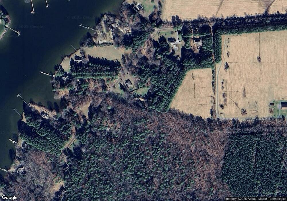
Map
Nearby Homes
- 23869 New Land Dr
- 23961 Lynnewood Dr
- 24318 Oakwood Park Rd
- 0 Grace St Unit MDTA2012346
- 24390 Oakwood Park Rd
- 216 Brooks Ln
- 300 Perry St
- 8620 Bozman Neavitt Rd
- 106 Grace St
- 207 Dodson Ave
- 0 Bozman Neavitt Rd Unit MDTA2011976
- 100 Grace St
- 23857 Ebb Point Rd
- 408 Spinnaker Ln
- 107 E Chestnut St
- 8034 Bozman Neavitt Rd
- 8000 Bozman Neavitt Rd
- 8013 Ruby Harrison Rd
- 105 Seymour Ave
- 7983 Bozman Neavitt Rd
- 25496 Chance Farm Rd
- 23911 Mount Misery Rd
- 23889 Mount Misery Rd
- 23933 Mount Misery Rd
- 23869 Mount Misery Rd
- 23869 Mt Misery Rd
- 23965 Mount Misery Rd
- 23901 Mount Misery Rd
- 23916 Mount Misery Rd
- 23946 Mount Misery Rd
- 23987 Mount Misery Rd
- 23912 Mount Misery Rd
- 23863 Mount Misery Rd
- 23860 Mount Misery Rd
- 23849 Mount Misery Rd
- 23948 Mount Misery Rd
- 23823 Mount Misery Rd
- 23842 Mount Misery Rd
- 23882 New Land Dr
- 23830 Mount Misery Rd