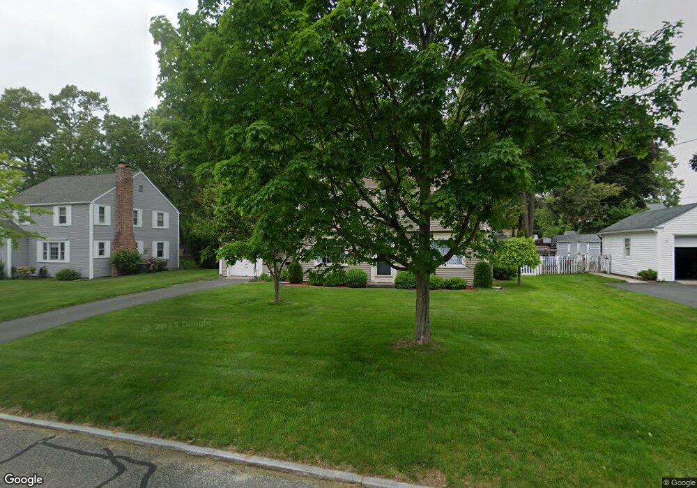
24 Arvesta St Springfield, MA 01118
East Forest Park NeighborhoodEstimated Value: $373,000 - $452,000
4
Beds
3
Baths
2,201
Sq Ft
$193/Sq Ft
Est. Value
About This Home
This home is located at 24 Arvesta St, Springfield, MA 01118 and is currently estimated at $424,224, approximately $192 per square foot. 24 Arvesta St is a home located in Hampden County with nearby schools including Mary A. Dryden Veterans Memorial School, M Marcus Kiley Middle, and Springfield High School of Science and Technology.
Ownership History
Date
Name
Owned For
Owner Type
Purchase Details
Closed on
Dec 23, 2024
Sold by
Mathews Thomas A and Mathews Margaret E
Bought by
Mathews Meaghan R and Santiago Catherine M
Current Estimated Value
Purchase Details
Closed on
Dec 2, 1985
Bought by
Mathews Thomas A and Mathews Margaret E
Create a Home Valuation Report for This Property
The Home Valuation Report is an in-depth analysis detailing your home's value as well as a comparison with similar homes in the area
Home Values in the Area
Average Home Value in this Area
Purchase History
| Date | Buyer | Sale Price | Title Company |
|---|---|---|---|
| Mathews Meaghan R | -- | None Available | |
| Mathews Meaghan R | -- | None Available | |
| Mathews Thomas A | $90,000 | -- |
Source: Public Records
Mortgage History
| Date | Status | Borrower | Loan Amount |
|---|---|---|---|
| Previous Owner | Mathews Thomas A | $40,000 | |
| Previous Owner | Mathews Thomas A | $45,000 |
Source: Public Records
Tax History
| Year | Tax Paid | Tax Assessment Tax Assessment Total Assessment is a certain percentage of the fair market value that is determined by local assessors to be the total taxable value of land and additions on the property. | Land | Improvement |
|---|---|---|---|---|
| 2025 | $7,205 | $459,500 | $57,600 | $401,900 |
| 2024 | $6,740 | $419,700 | $57,600 | $362,100 |
| 2023 | $6,692 | $392,500 | $54,800 | $337,700 |
| 2022 | $6,758 | $359,100 | $54,800 | $304,300 |
| 2021 | $2,548 | $317,100 | $49,800 | $267,300 |
| 2020 | $5,894 | $301,800 | $49,800 | $252,000 |
| 2019 | $2,455 | $259,700 | $49,800 | $209,900 |
| 2018 | $2,356 | $254,700 | $49,800 | $204,900 |
| 2017 | $2,242 | $239,400 | $54,800 | $184,600 |
| 2016 | $4,864 | $247,400 | $54,800 | $192,600 |
| 2015 | $4,727 | $240,300 | $54,800 | $185,500 |
Source: Public Records
Map
Nearby Homes
- 54 S Shore Dr
- 384 Abbott St
- 75 Gillette Cir
- 236 Pondview Dr
- 7 Ashbrook St
- 37 Chesterfield Ave
- 509 Plumtree Rd
- 118 Pilgrim Rd
- 170 Plumtree Rd
- 44 Amanda St
- 22 Amanda St
- 30 W Hill Rd
- 647 Plumtree Rd
- 134 Eddywood St
- 309 Island Pond Rd
- 11 Ina St
- 79 Roosevelt Ave
- 47 Hartford Terrace
- 87 Fenwick St
- 101 Regal St
- 32 Arvesta St
- 16 Arvesta St
- 81 S Branch Pkwy
- 75 S Branch Pkwy
- 87 S Branch Pkwy
- 40 Arvesta St
- 69 S Branch Pkwy
- 465 Roosevelt Ave
- 17 Arvesta St
- 25 Arvesta St
- 453 Roosevelt Ave
- 95 S Branch Pkwy
- 33 Arvesta St
- 477 Roosevelt Ave
- 63 S Branch Pkwy
- 50 Arvesta St
- 41 Arvesta St
- 445 Roosevelt Ave
- 103 S Branch Pkwy
- 18 Kipling St
Your Personal Tour Guide
Ask me questions while you tour the home.