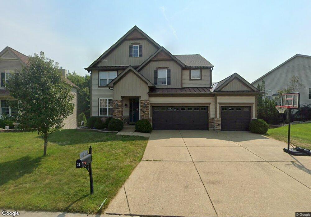
24 Burnside Ct Saint Charles, MO 63303
Heritage NeighborhoodEstimated Value: $574,000 - $692,000
4
Beds
4
Baths
3,186
Sq Ft
$199/Sq Ft
Est. Value
About This Home
This home is located at 24 Burnside Ct, Saint Charles, MO 63303 and is currently estimated at $635,290, approximately $199 per square foot. 24 Burnside Ct is a home located in St. Charles County with nearby schools including Becky-David Elementary School, Barnwell Middle School, and Francis Howell North High School.
Ownership History
Date
Name
Owned For
Owner Type
Purchase Details
Closed on
Oct 27, 2011
Sold by
Payne Family Homes At The Enclave Llc
Bought by
Clinch Joseph A and Clinch Gina L
Current Estimated Value
Home Financials for this Owner
Home Financials are based on the most recent Mortgage that was taken out on this home.
Original Mortgage
$260,800
Outstanding Balance
$178,782
Interest Rate
4.13%
Mortgage Type
New Conventional
Estimated Equity
$456,508
Create a Home Valuation Report for This Property
The Home Valuation Report is an in-depth analysis detailing your home's value as well as a comparison with similar homes in the area
Home Values in the Area
Average Home Value in this Area
Purchase History
| Date | Buyer | Sale Price | Title Company |
|---|---|---|---|
| Clinch Joseph A | $326,000 | Integrity Land Title Co Inc |
Source: Public Records
Mortgage History
| Date | Status | Borrower | Loan Amount |
|---|---|---|---|
| Open | Clinch Joseph A | $260,800 |
Source: Public Records
Tax History
| Year | Tax Paid | Tax Assessment Tax Assessment Total Assessment is a certain percentage of the fair market value that is determined by local assessors to be the total taxable value of land and additions on the property. | Land | Improvement |
|---|---|---|---|---|
| 2025 | $6,327 | $112,997 | -- | -- |
| 2023 | $6,318 | $102,558 | $0 | $0 |
| 2022 | $5,867 | $88,201 | $0 | $0 |
| 2021 | $5,854 | $88,201 | $0 | $0 |
| 2020 | $5,519 | $81,027 | $0 | $0 |
| 2019 | $5,498 | $81,027 | $0 | $0 |
| 2018 | $4,944 | $69,540 | $0 | $0 |
| 2017 | $4,919 | $69,540 | $0 | $0 |
| 2016 | $4,319 | $61,205 | $0 | $0 |
| 2015 | $4,282 | $61,205 | $0 | $0 |
| 2014 | $4,314 | $59,771 | $0 | $0 |
Source: Public Records
Map
Nearby Homes
- 1510 Hudson Landing
- 411 Savannah Ridge Dr
- 1611 Burnside Ln
- 58 Lansdowne Ct
- 3010 Paddlewheel Ct
- 2721 Heritage Landing
- 1355 Hampton Rd Unit B
- 2609 Plantation Point Unit D
- 2605 Plantation Point Unit B
- 2617 Hampton Rd Unit C
- 726 Gran Lin Dr
- 2623 Hampton Rd Unit A
- 1465 Heritage Landing Unit 35
- 1465 Heritage Landing Unit 306
- 1465 Heritage Landing Unit 102
- 1465 Heritage Landing Unit 46 (410)
- 1380 Heritage Landing Unit 206
- 1448 Gettysburg Landing
- 1400 Heritage Landing Unit 203
- 1440 Heritage Landing Unit 309
- 22 Burnside Ct
- 26 Burnside Ct
- 20 Burnside Ct
- 38Lot # 21 Burnside Ct
- 38 Burnside Ct
- 36 Burnside Ct
- 38 Burnside Ct
- 36 Burnside Ct
- 28 Burnside Ct
- 20 Confederate Way
- 34 Burnside Ct
- 21 Confederate Way
- 19 Confederate Way
- 1588 Burnside Ln
- 32 Burnside Ct
- 1590 Burnside Ln
- 30 Burnside Ct
- 16 Burnside Ct
- 18 Confederate Way
- 22 Confederate Way