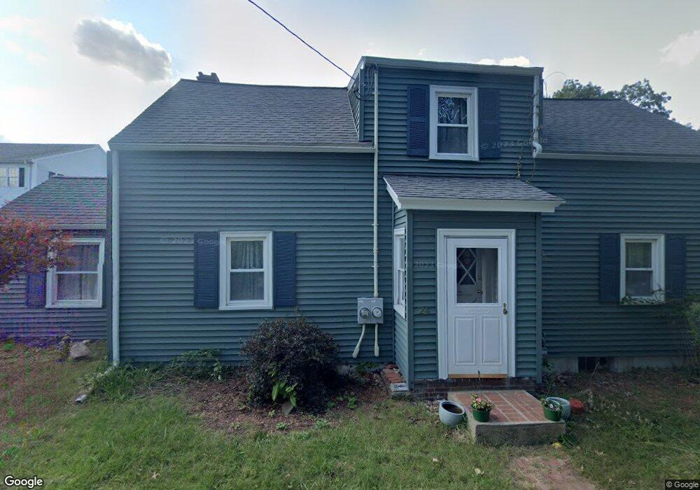
24 Dale St Andover, MA 01810
Ballardvale NeighborhoodEstimated Value: $612,000 - $761,000
3
Beds
1
Bath
1,557
Sq Ft
$445/Sq Ft
Est. Value
About This Home
This home is located at 24 Dale St, Andover, MA 01810 and is currently estimated at $692,265, approximately $444 per square foot. 24 Dale St is a home located in Essex County with nearby schools including South Elementary School, Andover West Middle School, and Andover High School.
Ownership History
Date
Name
Owned For
Owner Type
Purchase Details
Closed on
Apr 30, 2007
Sold by
Minkkinen Allan and Minkkinen Leena
Bought by
Keenan Patrick T and Keenan Nancy W
Current Estimated Value
Home Financials for this Owner
Home Financials are based on the most recent Mortgage that was taken out on this home.
Original Mortgage
$288,000
Outstanding Balance
$173,558
Interest Rate
6.18%
Mortgage Type
Purchase Money Mortgage
Estimated Equity
$518,707
Create a Home Valuation Report for This Property
The Home Valuation Report is an in-depth analysis detailing your home's value as well as a comparison with similar homes in the area
Home Values in the Area
Average Home Value in this Area
Purchase History
| Date | Buyer | Sale Price | Title Company |
|---|---|---|---|
| Keenan Patrick T | $360,000 | -- | |
| Keenan Patrick T | $360,000 | -- |
Source: Public Records
Mortgage History
| Date | Status | Borrower | Loan Amount |
|---|---|---|---|
| Open | Keenan Patrick T | $288,000 | |
| Closed | Keenan Patrick T | $288,000 | |
| Previous Owner | Keenan Patrick T | $50,000 |
Source: Public Records
Tax History Compared to Growth
Tax History
| Year | Tax Paid | Tax Assessment Tax Assessment Total Assessment is a certain percentage of the fair market value that is determined by local assessors to be the total taxable value of land and additions on the property. | Land | Improvement |
|---|---|---|---|---|
| 2024 | $6,367 | $494,300 | $299,800 | $194,500 |
| 2023 | $6,091 | $445,900 | $270,100 | $175,800 |
| 2022 | $5,840 | $400,000 | $239,000 | $161,000 |
| 2021 | $5,584 | $365,200 | $217,100 | $148,100 |
| 2020 | $5,356 | $356,800 | $211,700 | $145,100 |
| 2019 | $5,299 | $347,000 | $205,500 | $141,500 |
| 2018 | $5,074 | $324,400 | $193,900 | $130,500 |
| 2017 | $4,853 | $319,700 | $190,200 | $129,500 |
| 2016 | $4,557 | $307,500 | $177,900 | $129,600 |
| 2015 | $4,394 | $293,500 | $171,000 | $122,500 |
Source: Public Records
Map
Nearby Homes
- 30 Dale St
- 22 Dale St
- 22 Dale St Unit 1
- 36 Dale St Unit 2
- 36 Dale St Unit 1
- 36 Dale St
- 38 Dale St Unit 38
- 34 Dale St
- 34 Dale St Unit 34
- 40 Dale St
- 18 Dale St Unit 10E
- 18 Dale St Unit 10D
- 18 Dale St Unit 10C
- 18 Dale St Unit 10B
- 18 Dale St Unit 10A
- 18 Dale St Unit 9F
- 18 Dale St Unit 9E
- 18 Dale St Unit 9D
- 18 Dale St Unit 9C
- 18 Dale St Unit 9B