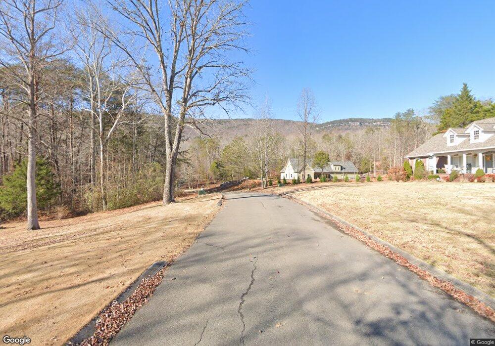
24 Lower Brow Rd Dunlap, TN 37327
Estimated Value: $407,000 - $652,000
3
Beds
3
Baths
2,627
Sq Ft
$191/Sq Ft
Est. Value
About This Home
This home is located at 24 Lower Brow Rd, Dunlap, TN 37327 and is currently estimated at $502,389, approximately $191 per square foot. 24 Lower Brow Rd is a home located in Bledsoe County with nearby schools including Bledsoe County High School.
Ownership History
Date
Name
Owned For
Owner Type
Purchase Details
Closed on
Aug 31, 2005
Sold by
Brown Mark L
Bought by
Weetenkamp James A
Current Estimated Value
Create a Home Valuation Report for This Property
The Home Valuation Report is an in-depth analysis detailing your home's value as well as a comparison with similar homes in the area
Home Values in the Area
Average Home Value in this Area
Purchase History
| Date | Buyer | Sale Price | Title Company |
|---|---|---|---|
| Weetenkamp James A | $214,500 | -- |
Source: Public Records
Tax History Compared to Growth
Tax History
| Year | Tax Paid | Tax Assessment Tax Assessment Total Assessment is a certain percentage of the fair market value that is determined by local assessors to be the total taxable value of land and additions on the property. | Land | Improvement |
|---|---|---|---|---|
| 2024 | $1,571 | $76,175 | $8,750 | $67,425 |
| 2023 | $1,571 | $76,175 | $8,750 | $67,425 |
| 2022 | $1,427 | $76,175 | $8,750 | $67,425 |
| 2021 | $1,287 | $53,950 | $8,000 | $45,950 |
| 2020 | $1,287 | $53,950 | $8,000 | $45,950 |
| 2019 | $1,287 | $53,950 | $8,000 | $45,950 |
| 2018 | $1,190 | $53,950 | $8,000 | $45,950 |
| 2017 | $1,190 | $53,950 | $8,000 | $45,950 |
| 2016 | $1,286 | $56,725 | $8,000 | $48,725 |
| 2015 | $1,257 | $56,725 | $8,000 | $48,725 |
| 2014 | $1,257 | $56,725 | $8,000 | $48,725 |
Source: Public Records
Map
Nearby Homes
- 19 Lower Brow Rd
- 1 Old Highway 28
- 16 Old State Hwy 28
- 500 Old Highway 28
- 91 Hidden View Dr
- 91 Lightning Ln
- 0 Old Highway 28
- 0 Bill Pope Dr
- 30 Big Cedar Dr
- 76 Big Cedar Dr
- 0 Madison Dr Unit 1510956
- 235 Big Cedar Dr
- 134 Mcwilliams Rd
- 46 Dry Branch Way
- Lot 45 Dry Branch Way
- 0 Farmview Way Unit RTC2915893
- 0 Farmview Way Unit 1507652
- 0 Farmview Way
- 52 River Ridge Dr
- 0 River Ridge Dr Unit RTC2974298
- 4 Spring Lake Dr
- 6 Spring Lake Dr
- 82 Lower Brow Rd
- 5 Spring Lake Dr
- 0 Lot 11 Spring Lake Dr Unit 1354366
- 11 Spring Lake Dr
- 40 Greenview Dr
- 512 Highway 28
- 329 Old State Highway 28
- 537 Highway 28
- 538 Highway 28
- 514 Old State Highway 28
- 540 Highway 28
- 1 Spring Lake Dr
- 01 Spring Lake Dr
- 0 Hidden Hollow Cir
- 38 Hidden Hollow Cir
- 27 Greenview Dr
- 310 Spring Lake Dr
- 113 Green View Drive Dr Unit 113