24 Lower Waldron Rd Meredith, NH 03253
Estimated Value: $750,860 - $1,251,000
About This Home
This home is located at 24 Lower Waldron Rd, Meredith, NH 03253 and is currently estimated at $910,715, approximately $635 per square foot. 24 Lower Waldron Rd is a home located in Belknap County with nearby schools including Inter-Lakes Elementary School, Sandwich Central School, and Inter-Lakes Middle High School.
Ownership History
We collect this data history from publicly available records. To have your information removed, we recommend requesting removal directly through your county’s website.
Purchase Details
Purchase Details
Home Financials for this Owner
Home Financials are based on the most recent Mortgage that was taken out on this home.Purchase Details
Home Values in the Area
Average Home Value in this Area
Purchase History
We collect this data history from publicly available records. To have your information removed, we recommend requesting removal directly through your county’s website.
| Date | Buyer | Sale Price | Title Company |
|---|---|---|---|
| -- | None Available | ||
| $350,000 | -- | ||
| $350,000 | -- |
Mortgage History
We collect this data history from publicly available records. To have your information removed, we recommend requesting removal directly through your county’s website.
| Date | Status | Borrower | Loan Amount |
|---|---|---|---|
| Previous Owner | $202,500 | ||
| Previous Owner | $155,000 | ||
| Previous Owner | $155,000 | ||
| Previous Owner | $125,000 |
Tax History
We collect this data history from publicly available records. To have your information removed, we recommend requesting removal directly through your county’s website.
| Year | Tax Paid | Tax Assessment Tax Assessment Total Assessment is a certain percentage of the fair market value that is determined by local assessors to be the total taxable value of land and additions on the property. | Land | Improvement |
|---|---|---|---|---|
| 2025 | $7,077 | $666,400 | $375,600 | $290,800 |
| 2024 | $6,837 | $666,400 | $375,600 | $290,800 |
| 2023 | $6,591 | $666,400 | $375,600 | $290,800 |
| 2022 | $5,742 | $411,000 | $193,900 | $217,100 |
| 2021 | $5,520 | $411,000 | $193,900 | $217,100 |
| 2020 | $5,762 | $411,000 | $193,900 | $217,100 |
| 2019 | $5,622 | $353,800 | $156,500 | $197,300 |
| 2018 | $5,526 | $353,800 | $156,500 | $197,300 |
| 2016 | $4,942 | $317,000 | $131,900 | $185,100 |
| 2015 | $4,818 | $317,000 | $131,900 | $185,100 |
| 2014 | $4,701 | $317,000 | $131,900 | $185,100 |
| 2013 | $4,568 | $317,000 | $131,900 | $185,100 |
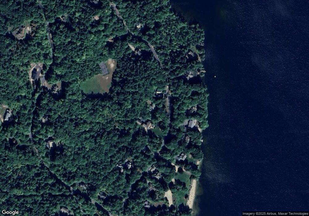
Map
- R29L9 Roxbury Rd
- 36 New Rd
- 1385 Meredith Center Rd
- 1 Sanctuary Ln
- 247 Meredith Center Rd
- 00 Roxbury Rd Unit 1
- 490 Meredith Center Rd
- 302 Black Brook Rd
- 102 Corliss Hill Rd
- 101 Eastman Shore Rd S
- 376 Turner Way
- 131 Woodman Rd
- 580 Lower Bay Rd
- 106 Livingston Rd
- 516 Steele Hill Rd Unit Week 1-10 & 51 and
- 516 Steele Hill Rd Unit Float week 17-23; 37
- 2 Clover Ln
- 66-1 Dr True Rd
- 341 Hermit Woods Rd
- 9 Fells Way Unit A
- 26 Lower Waldron Rd
- 22 Lower Waldron Rd
- 39 Lower Waldron Rd
- 25 Lower Waldron Rd
- 21 Lower Waldron Rd
- 23 Lower Waldron Rd
- 16 Lower Waldron Rd
- 27 Lower Waldron Rd
- 19 Lower Waldron Rd
- 36 Lower Waldron Rd
- 17 Lower Waldron Rd
- 29 Lower Waldron Rd
- 10 Lower Waldron Rd
- 11 Lower Waldron Rd
- 38 Lower Waldron Rd
- 37 Lower Waldron Rd
- 9 Lower Waldron Rd
- 40 Swain Rd
- 7 Lower Waldron Rd
- 72 Swain Rd
Ask me questions while you tour the home.