24 Rail Way Unit 22D Hollis, NH 03049
West Hollis NeighborhoodEstimated Value: $500,000 - $530,000
2
Beds
2
Baths
1,800
Sq Ft
$287/Sq Ft
Est. Value
About This Home
This home is located at 24 Rail Way Unit 22D, Hollis, NH 03049 and is currently estimated at $516,115, approximately $286 per square foot. 24 Rail Way Unit 22D is a home located in Hillsborough County with nearby schools including Hollis Primary School, Hollis Upper Elementary School, and Hollis-Brookline Middle School.
Ownership History
Date
Name
Owned For
Owner Type
Purchase Details
Closed on
Jun 11, 2018
Sold by
Mccaffery William and Mccafffery Catherine
Bought by
William & C Mccaffery Re
Current Estimated Value
Purchase Details
Closed on
Jun 9, 2017
Sold by
Esy Ret and Blauvelt Pamela L
Bought by
Mccaffery William and Mccaffery Catherine
Home Financials for this Owner
Home Financials are based on the most recent Mortgage that was taken out on this home.
Original Mortgage
$155,000
Interest Rate
3.25%
Mortgage Type
Adjustable Rate Mortgage/ARM
Purchase Details
Closed on
Dec 11, 2008
Sold by
Ducal Development Llc
Bought by
Esy Ret and York E Stanley
Purchase Details
Closed on
Oct 27, 2008
Sold by
Mello Ret
Bought by
Ducal Development Llc
Create a Home Valuation Report for This Property
The Home Valuation Report is an in-depth analysis detailing your home's value as well as a comparison with similar homes in the area
Home Values in the Area
Average Home Value in this Area
Purchase History
| Date | Buyer | Sale Price | Title Company |
|---|---|---|---|
| William & C Mccaffery Re | -- | -- | |
| Mccaffery William | $290,000 | -- | |
| Esy Ret | $260,000 | -- | |
| Ducal Development Llc | $275,000 | -- |
Source: Public Records
Mortgage History
| Date | Status | Borrower | Loan Amount |
|---|---|---|---|
| Previous Owner | Mccaffery William | $155,000 |
Source: Public Records
Tax History Compared to Growth
Tax History
| Year | Tax Paid | Tax Assessment Tax Assessment Total Assessment is a certain percentage of the fair market value that is determined by local assessors to be the total taxable value of land and additions on the property. | Land | Improvement |
|---|---|---|---|---|
| 2024 | $8,108 | $457,300 | $0 | $457,300 |
| 2023 | $7,619 | $457,300 | $0 | $457,300 |
| 2022 | $10,321 | $457,300 | $0 | $457,300 |
| 2021 | $6,113 | $269,300 | $0 | $269,300 |
| 2020 | $6,242 | $269,300 | $0 | $269,300 |
| 2019 | $6,221 | $269,300 | $0 | $269,300 |
| 2018 | $5,836 | $269,300 | $0 | $269,300 |
| 2017 | $5,093 | $220,000 | $0 | $220,000 |
| 2016 | $5,155 | $220,000 | $0 | $220,000 |
| 2015 | $5,064 | $220,000 | $0 | $220,000 |
| 2014 | $5,089 | $220,000 | $0 | $220,000 |
| 2013 | $5,020 | $220,000 | $0 | $220,000 |
Source: Public Records
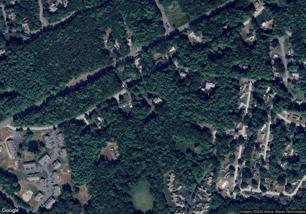
Map
Nearby Homes
- 18 Rail Way
- 49 Rail Way Unit 49
- 2 Cross Rd
- 1 Rail Way
- 33 Rail Way
- 16 Rail Way
- 19 Rail Way Unit 19
- 12 Cross Rd
- 57 Rail Way Unit 32B
- 2 Pullman Dr
- 29 Rail Way
- 57 Rail Way Unit 57
- 6 Cross Rd Unit 6
- 6 Cross Rd Unit C
- 1 Rail Way Unit 1
- 1 Rail Way Unit H
- 57 Rail Way
- 19 Rail Way
- 6 Cross Rd
- 29 Rail Way Unit 29