24 S Union St Plainfield, MA 01070
Estimated Value: $436,000 - $471,000
3
Beds
2
Baths
1,872
Sq Ft
$246/Sq Ft
Est. Value
About This Home
This home is located at 24 S Union St, Plainfield, MA 01070 and is currently estimated at $461,153, approximately $246 per square foot. 24 S Union St is a home located in Hampshire County with nearby schools including Mohawk Trail Regional High School.
Ownership History
Date
Name
Owned For
Owner Type
Purchase Details
Closed on
Jul 6, 2020
Sold by
Lumsden Michal C and Pitcoff Winton
Bought by
Jones Sydney and Madole Michael
Current Estimated Value
Home Financials for this Owner
Home Financials are based on the most recent Mortgage that was taken out on this home.
Original Mortgage
$255,200
Outstanding Balance
$226,294
Interest Rate
3.1%
Mortgage Type
New Conventional
Estimated Equity
$234,859
Purchase Details
Closed on
Oct 30, 2014
Sold by
Pitcoff Winton
Bought by
Lumsden Michal C and Pitcoff Winton
Purchase Details
Closed on
Sep 29, 2011
Sold by
Pitcoff Winton and Ranghelli Lisa
Bought by
Pitcoff Winton
Purchase Details
Closed on
Jun 26, 2008
Sold by
Pease Margaret T Est and Fucci
Bought by
Ranghelli Lisa and Pitcoff Winton
Create a Home Valuation Report for This Property
The Home Valuation Report is an in-depth analysis detailing your home's value as well as a comparison with similar homes in the area
Home Values in the Area
Average Home Value in this Area
Purchase History
| Date | Buyer | Sale Price | Title Company |
|---|---|---|---|
| Jones Sydney | $319,000 | None Available | |
| Jones Sydney | $319,000 | None Available | |
| Lumsden Michal C | -- | -- | |
| Lumsden Michal C | -- | -- | |
| Pitcoff Winton | -- | -- | |
| Pitcoff Winton | -- | -- | |
| Ranghelli Lisa | $250,000 | -- | |
| Ranghelli Lisa | $250,000 | -- |
Source: Public Records
Mortgage History
| Date | Status | Borrower | Loan Amount |
|---|---|---|---|
| Open | Jones Sydney | $255,200 | |
| Closed | Jones Sydney | $255,200 |
Source: Public Records
Tax History
| Year | Tax Paid | Tax Assessment Tax Assessment Total Assessment is a certain percentage of the fair market value that is determined by local assessors to be the total taxable value of land and additions on the property. | Land | Improvement |
|---|---|---|---|---|
| 2025 | $6,658 | $360,268 | $41,468 | $318,800 |
| 2024 | $6,818 | $318,300 | $66,200 | $252,100 |
| 2023 | $6,595 | $318,300 | $66,200 | $252,100 |
| 2022 | $6,350 | $318,300 | $66,200 | $252,100 |
| 2021 | $4,264 | $221,600 | $64,900 | $156,700 |
| 2020 | $4,549 | $226,100 | $61,800 | $164,300 |
| 2019 | $4,360 | $224,500 | $64,200 | $160,300 |
| 2018 | $3,812 | $199,800 | $59,100 | $140,700 |
| 2017 | $3,715 | $190,900 | $56,700 | $134,200 |
| 2016 | $3,749 | $198,800 | $64,500 | $134,300 |
| 2015 | $4,128 | $231,500 | $73,100 | $158,400 |
| 2014 | $4,025 | $225,100 | $71,400 | $153,700 |
Source: Public Records
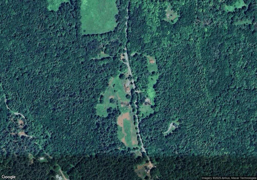
Map
Nearby Homes
- 296 E Main St
- 10 Maple St
- 39 Hawley St
- 678 W Main St
- 311 Cummington Rd
- 333 Ranney Corner Rd
- 0 John Ford Rd Unit 73403156
- 13 Jordan Rd
- 0 Spruce Corner Rd Unit 73244975
- 504 Loop Rd
- 500 Loop Rd
- 54 Porter Hill Rd
- 220 Hawley Rd
- 237 Trouble St
- 0 E Windsor Rd
- 40 Suburban Dr
- 0 Sears Rd Unit 73373850
- lot 16 Pierce Rd
- lot 18 Pierce Rd
- lot 19 Pierce Rd
Your Personal Tour Guide
Ask me questions while you tour the home.