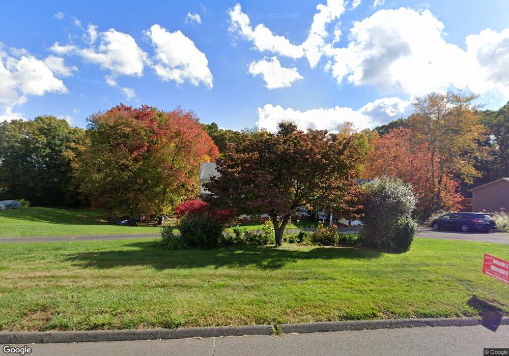
24 Sullivan Farm Rd Broad Brook, CT 06016
Estimated Value: $533,000 - $623,000
6
Beds
4
Baths
2,820
Sq Ft
$206/Sq Ft
Est. Value
About This Home
This home is located at 24 Sullivan Farm Rd, Broad Brook, CT 06016 and is currently estimated at $582,309, approximately $206 per square foot. 24 Sullivan Farm Rd is a home located in Hartford County with nearby schools including Broad Brook Elementary School, East Windsor Middle School, and East Windsor High School.
Ownership History
Date
Name
Owned For
Owner Type
Purchase Details
Closed on
Nov 2, 2015
Sold by
Custer Donald E
Bought by
Macsata Nicholas S and Macsata Kathleen
Current Estimated Value
Home Financials for this Owner
Home Financials are based on the most recent Mortgage that was taken out on this home.
Original Mortgage
$275,500
Outstanding Balance
$217,646
Interest Rate
3.92%
Estimated Equity
$364,663
Purchase Details
Closed on
Nov 15, 2011
Sold by
Hearn Paul R and Hearn Kathy A
Bought by
Custerq Donald E
Home Financials for this Owner
Home Financials are based on the most recent Mortgage that was taken out on this home.
Original Mortgage
$253,039
Interest Rate
4.01%
Purchase Details
Closed on
Sep 27, 1996
Sold by
Langlois Roger
Bought by
Hearn Paul and Hearn Kathy
Create a Home Valuation Report for This Property
The Home Valuation Report is an in-depth analysis detailing your home's value as well as a comparison with similar homes in the area
Home Values in the Area
Average Home Value in this Area
Purchase History
| Date | Buyer | Sale Price | Title Company |
|---|---|---|---|
| Macsata Nicholas S | $290,000 | -- | |
| Custerq Donald E | $275,000 | -- | |
| Hearn Paul | $156,000 | -- |
Source: Public Records
Mortgage History
| Date | Status | Borrower | Loan Amount |
|---|---|---|---|
| Open | Hearn Paul | $275,500 | |
| Previous Owner | Hearn Paul | $253,039 |
Source: Public Records
Tax History Compared to Growth
Tax History
| Year | Tax Paid | Tax Assessment Tax Assessment Total Assessment is a certain percentage of the fair market value that is determined by local assessors to be the total taxable value of land and additions on the property. | Land | Improvement |
|---|---|---|---|---|
| 2025 | $8,302 | $313,410 | $68,790 | $244,620 |
| 2024 | $7,697 | $313,410 | $68,790 | $244,620 |
| 2023 | $8,205 | $239,340 | $56,590 | $182,750 |
| 2022 | $8,229 | $239,340 | $56,590 | $182,750 |
| 2021 | $8,257 | $239,340 | $56,590 | $182,750 |
| 2020 | $6,953 | $200,260 | $56,590 | $143,670 |
| 2019 | $6,859 | $200,260 | $56,590 | $143,670 |
| 2018 | $6,789 | $200,260 | $56,590 | $143,670 |
| 2017 | $6,234 | $190,230 | $67,780 | $122,450 |
| 2016 | $5,884 | $190,230 | $67,780 | $122,450 |
| 2015 | $5,766 | $190,230 | $67,780 | $122,450 |
| 2014 | $5,665 | $190,230 | $67,780 | $122,450 |
Source: Public Records
Map
Nearby Homes
- 24 Sullivan Farm Rd
- 22 Sullivan Farm Rd
- 22 Sullivan Farm Rd
- 16 Eastwood Dr
- 26 Sullivan Farms Rd
- 21 Sullivan Farms Rd
- 28 Sullivan Farms Rd
- 20 Sullivan Farm Rd
- 20 Sullivan Farms Rd
- 17 Eastwood Dr
- 19 Sullivan Farms Rd
- 14 Eastwood Dr
- 28 Sullivan Farm Rd
- 18 Sullivan Farms Rd
- 34 Sullivan Farm Rd
- 15 Eastwood Dr
- 17 Sullivan Farms Rd
- 10 Eastwood Dr
- 8 Eastwood Dr
- 12 Eastwood Dr