24 Sunset Path Sudbury, MA 01776
Estimated Value: $1,076,000 - $1,966,000
4
Beds
3
Baths
2,720
Sq Ft
$530/Sq Ft
Est. Value
About This Home
This home is located at 24 Sunset Path, Sudbury, MA 01776 and is currently estimated at $1,441,987, approximately $530 per square foot. 24 Sunset Path is a home located in Middlesex County with nearby schools including Josiah Haynes Elementary School, Ephraim Curtis Middle School, and Lincoln-Sudbury Regional High School.
Ownership History
Date
Name
Owned For
Owner Type
Purchase Details
Closed on
Mar 26, 1998
Sold by
Glass William M and Glass Katherine P
Bought by
Psilos John and Zoto Joanne M
Current Estimated Value
Home Financials for this Owner
Home Financials are based on the most recent Mortgage that was taken out on this home.
Original Mortgage
$280,000
Outstanding Balance
$49,392
Interest Rate
6.96%
Mortgage Type
Purchase Money Mortgage
Estimated Equity
$1,392,595
Purchase Details
Closed on
Aug 9, 1990
Sold by
Hetrick C David
Bought by
Glass William M
Create a Home Valuation Report for This Property
The Home Valuation Report is an in-depth analysis detailing your home's value as well as a comparison with similar homes in the area
Home Values in the Area
Average Home Value in this Area
Purchase History
| Date | Buyer | Sale Price | Title Company |
|---|---|---|---|
| Psilos John | $445,000 | -- | |
| Psilos John | $445,000 | -- | |
| Glass William M | $425,000 | -- | |
| Glass William M | $425,000 | -- |
Source: Public Records
Mortgage History
| Date | Status | Borrower | Loan Amount |
|---|---|---|---|
| Open | Glass William M | $140,000 | |
| Open | Glass William M | $280,000 | |
| Closed | Glass William M | $280,000 |
Source: Public Records
Tax History
| Year | Tax Paid | Tax Assessment Tax Assessment Total Assessment is a certain percentage of the fair market value that is determined by local assessors to be the total taxable value of land and additions on the property. | Land | Improvement |
|---|---|---|---|---|
| 2025 | $17,505 | $1,195,700 | $501,000 | $694,700 |
| 2024 | $16,872 | $1,154,800 | $486,600 | $668,200 |
| 2023 | $15,686 | $994,700 | $434,600 | $560,100 |
| 2022 | $15,449 | $855,900 | $398,600 | $457,300 |
| 2021 | $14,742 | $782,900 | $398,600 | $384,300 |
| 2020 | $14,445 | $782,900 | $398,600 | $384,300 |
| 2019 | $14,022 | $782,900 | $398,600 | $384,300 |
| 2018 | $13,903 | $775,400 | $424,200 | $351,200 |
| 2017 | $13,631 | $768,400 | $420,600 | $347,800 |
| 2016 | $13,217 | $742,500 | $404,600 | $337,900 |
| 2015 | $12,746 | $724,200 | $393,000 | $331,200 |
| 2014 | $12,729 | $706,000 | $381,400 | $324,600 |
Source: Public Records
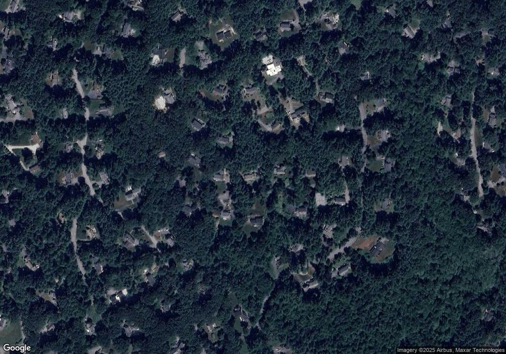
Map
Nearby Homes
- 96 Mossman Rd
- 41 Old Coach Rd
- 377 Willis Rd
- 40 Widow Rites Ln
- 55 Widow Rites Ln
- 48 Chanticleer Rd
- 228 Mossman Rd
- 6 Canterbury Dr
- 355 Maynard Rd
- 68 Longfellow Rd
- 20 Cobblestone Place
- 22 Hilltop Rd
- 8 Snowberry Ln
- 45 Webster Cir
- 42 Dakin Rd
- 11 October Rd
- 19 Skyview Ln
- 8-10 Concord Road (&356 Bostonpost)
- 8 Twillingate Rd
- 62 Churchill St
- 32 Sunset Path
- 18 Sunset Path
- 68 Silver Hill Rd
- 72 Silver Hill Rd
- 23 Sunset Path
- 17 Sunset Path
- 31 Sunset Path
- 40 Sunset Path
- 12 Sunset Path
- 64 Silver Hill Rd
- 84 Silver Hill Rd
- 37 Sunset Path
- 75 Silver Hill Rd
- 65 Silver Hill Rd
- 65 Thunder Rd
- 11 Sunset Path
- 53 Thunder Rd
- 91 Thunder Rd
- 46 Sunset Path
- 77 Thunder Rd
Your Personal Tour Guide
Ask me questions while you tour the home.