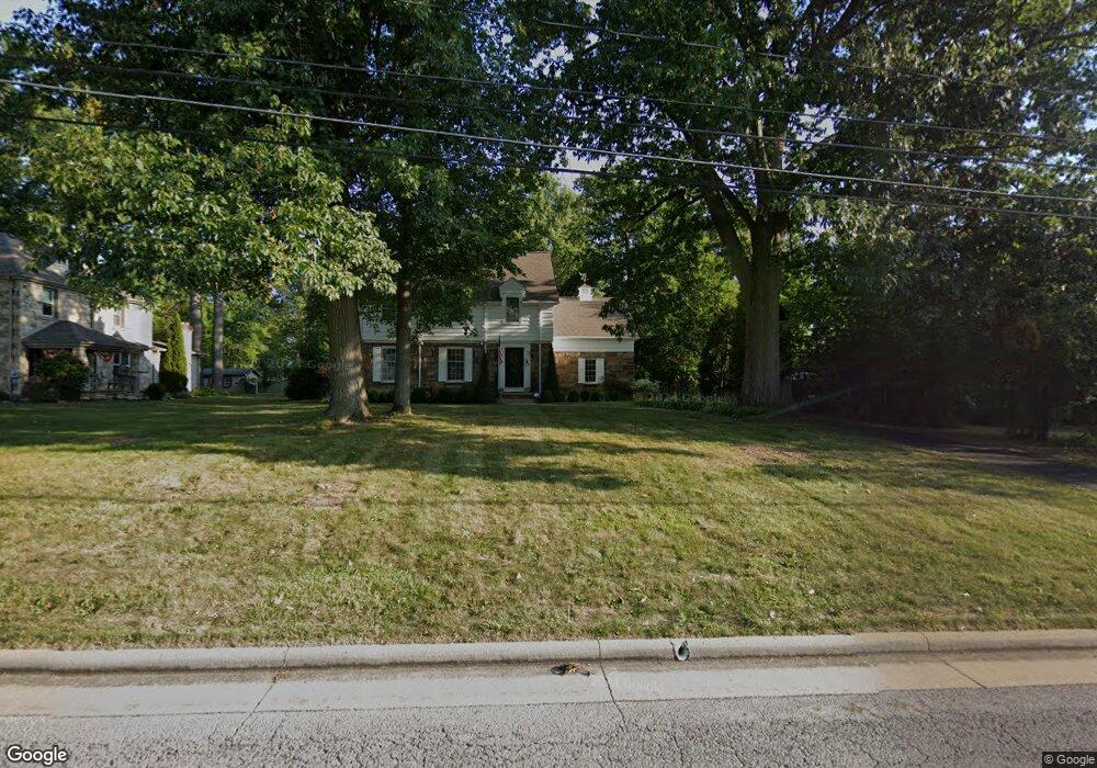
240 Ewing Rd Youngstown, OH 44512
Estimated Value: $192,000 - $218,000
4
Beds
3
Baths
1,840
Sq Ft
$112/Sq Ft
Est. Value
About This Home
This home is located at 240 Ewing Rd, Youngstown, OH 44512 and is currently estimated at $205,495, approximately $111 per square foot. 240 Ewing Rd is a home located in Mahoning County with nearby schools including West Boulevard Elementary School, Boardman Center Middle School, and Boardman High School.
Ownership History
Date
Name
Owned For
Owner Type
Purchase Details
Closed on
Jul 19, 2022
Bought by
Grzelewski Amanda J Trustee
Current Estimated Value
Purchase Details
Closed on
Nov 6, 2012
Sold by
Rowney Robert T and Rowney Alta M
Bought by
Rowney Robert T and Rowney Alta M
Purchase Details
Closed on
Jun 4, 2010
Bought by
Rowney Robert T Trustee
Purchase Details
Closed on
Jul 7, 1971
Bought by
Rowney Robert T and Rowney Alta M
Create a Home Valuation Report for This Property
The Home Valuation Report is an in-depth analysis detailing your home's value as well as a comparison with similar homes in the area
Home Values in the Area
Average Home Value in this Area
Purchase History
| Date | Buyer | Sale Price | Title Company |
|---|---|---|---|
| Grzelewski Amanda J Trustee | -- | -- | |
| Rowney Robert T | -- | Attorney | |
| Rowney Robert T Trustee | -- | -- | |
| Rowney Robert T | -- | -- |
Source: Public Records
Tax History
| Year | Tax Paid | Tax Assessment Tax Assessment Total Assessment is a certain percentage of the fair market value that is determined by local assessors to be the total taxable value of land and additions on the property. | Land | Improvement |
|---|---|---|---|---|
| 2025 | $2,397 | $57,690 | $8,090 | $49,600 |
| 2024 | $2,470 | $57,690 | $8,090 | $49,600 |
| 2023 | $2,468 | $57,690 | $8,090 | $49,600 |
| 2022 | $1,978 | $38,280 | $7,530 | $30,750 |
| 2021 | $1,980 | $38,280 | $7,530 | $30,750 |
| 2020 | $1,990 | $38,280 | $7,530 | $30,750 |
| 2019 | $1,867 | $32,730 | $6,440 | $26,290 |
| 2018 | $1,595 | $32,730 | $6,440 | $26,290 |
| 2017 | $1,556 | $32,730 | $6,440 | $26,290 |
| 2016 | $1,680 | $34,450 | $7,320 | $27,130 |
| 2015 | $1,648 | $34,450 | $7,320 | $27,130 |
| 2014 | $1,652 | $34,450 | $7,320 | $27,130 |
| 2013 | $1,632 | $34,450 | $7,320 | $27,130 |
Source: Public Records
Map
Nearby Homes
- 6511 Pembrooke Place
- 354 Ewing Rd
- 6180 Northlawn Ave
- 96 Aylesboro Ave
- 409 Melbourne Ave
- 477 Wildwood Dr
- 7120-7122 Glendale Ave
- 311 Brainard Dr
- 31 Rockdale Ave
- 5810 West Blvd
- 27 Erskine Ave
- 804 Brookfield Ave
- 7366 Sierra Madre Trail
- 7367 Oregon Trail
- 237 Shields Rd
- 227 Shields Rd
- 165 Mathews Rd Unit A
- 191 Mathews Rd Unit A
- 244 Shields Rd
- 7046 Southern Blvd
- 236 Ewing Rd
- 252 Ewing Rd
- 262 Ewing Rd
- 226 Ewing Rd
- 247 Wildwood Dr
- 241 Wildwood Dr
- 251 Wildwood Dr
- 237 Wildwood Dr
- 233 Wildwood Dr
- 278 Ewing Rd
- 253 Wildwood Dr
- 248 Brookfield Ave
- 246 Brookfield Ave
- 244 Brookfield Ave
- 256 Brookfield Ave
- 236 Brookfield Ave
- 264 Brookfield Ave
- 222 Brookfield Ave
- 273 Wildwood Dr
- 204 Ewing Rd
Your Personal Tour Guide
Ask me questions while you tour the home.