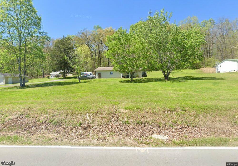
240 Gun Ridge Rd Vonore, TN 37885
Estimated Value: $102,934 - $296,000
--
Bed
1
Bath
676
Sq Ft
$297/Sq Ft
Est. Value
About This Home
This home is located at 240 Gun Ridge Rd, Vonore, TN 37885 and is currently estimated at $200,484, approximately $296 per square foot. 240 Gun Ridge Rd is a home located in Monroe County with nearby schools including Vonore Elementary School, Vonore Middle School, and Sweetwater High School.
Ownership History
Date
Name
Owned For
Owner Type
Purchase Details
Closed on
Nov 19, 2021
Sold by
Hiltbrand Sherrie
Bought by
Carlson Richard and Carlson Denny
Current Estimated Value
Purchase Details
Closed on
Apr 4, 2017
Sold by
Kirkland Wilma P
Bought by
Hiltbrand Sherrie
Purchase Details
Closed on
May 13, 2004
Sold by
Monroe County Mobile Homes
Bought by
Kirkland Phillip N
Purchase Details
Closed on
Nov 21, 2002
Bought by
Monroe Co Mobile Homes Inc
Create a Home Valuation Report for This Property
The Home Valuation Report is an in-depth analysis detailing your home's value as well as a comparison with similar homes in the area
Home Values in the Area
Average Home Value in this Area
Purchase History
| Date | Buyer | Sale Price | Title Company |
|---|---|---|---|
| Carlson Richard | $50,000 | Skyway Title Services | |
| Hiltbrand Sherrie | -- | -- | |
| Kirkland Phillip N | $20,000 | -- | |
| Monroe Co Mobile Homes Inc | $20,000 | -- |
Source: Public Records
Tax History Compared to Growth
Tax History
| Year | Tax Paid | Tax Assessment Tax Assessment Total Assessment is a certain percentage of the fair market value that is determined by local assessors to be the total taxable value of land and additions on the property. | Land | Improvement |
|---|---|---|---|---|
| 2025 | $535 | $35,150 | $0 | $0 |
| 2024 | $535 | $35,150 | $6,025 | $29,125 |
| 2023 | $535 | $35,150 | $6,025 | $29,125 |
| 2022 | $400 | $17,875 | $4,550 | $13,325 |
| 2021 | $400 | $17,875 | $4,550 | $13,325 |
| 2020 | $400 | $17,875 | $4,550 | $13,325 |
| 2019 | $354 | $17,875 | $4,550 | $13,325 |
| 2018 | $354 | $17,875 | $4,550 | $13,325 |
| 2017 | $366 | $17,475 | $4,550 | $12,925 |
| 2016 | $366 | $17,475 | $4,550 | $12,925 |
| 2015 | $366 | $17,475 | $4,550 | $12,925 |
| 2014 | $366 | $17,462 | $0 | $0 |
Source: Public Records
Map
Nearby Homes
- 2143 U S 411
- 279 Lakeside Meadows Cir
- 240 Lake Meadows Cir
- 1735 Highway 411
- 1035 Lakeside Rd
- 0 Deer Run & Wolfe Trail
- 104 Lake Meadows Cir
- 1516 U S 411
- 0 Red Wing Dr Unit RTC2971654
- 0 Red Wing Dr Unit 1518403
- 88 Red Wing Dr
- L-104 Falcon Tr
- 110 Garren Rd
- 176 Mason Rd
- 419 Mountain View Dr
- 268 Mountain View Dr
- 218 Candi Ln
- 1115 Oak Grove Rd
- 527 Mountain View Dr
- 116 Deer Path Trail
- 244 Gun Ridge Rd
- 235 Gun Ridge Rd
- 254 Gun Ridge Rd
- 110 Holloway Rd
- 234 Gun Ridge Rd
- 230 Gun Ridge Rd
- 139 Frank Rd
- 228 Gun Ridge Rd
- 106 Holloway Rd
- 265 Gun Ridge Rd
- 226 Gun Ridge Rd
- 151 Gun Ridge Rd
- 112 Holloway Rd
- 120 Holloway Rd
- 295 Gun Ridge Rd
- 142 Gun Ridge Rd
- 128 Holloway Rd
- 143 Gun Ridge Rd
- 132 Gun Ridge Rd
- 131 Holloway Rd