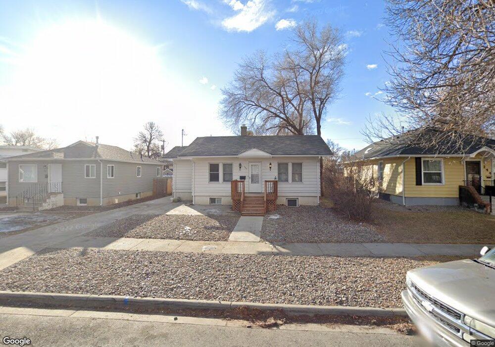
240 Terry Ave Unit 1-3 Billings, MT 59101
East Central Billings NeighborhoodEstimated Value: $271,000 - $353,000
5
Beds
3
Baths
1,702
Sq Ft
$193/Sq Ft
Est. Value
About This Home
This home is located at 240 Terry Ave Unit 1-3, Billings, MT 59101 and is currently estimated at $329,271, approximately $193 per square foot. 240 Terry Ave Unit 1-3 is a home located in Yellowstone County with nearby schools including Broadwater School, Lewis & Clark Junior High School, and Billings Senior High School.
Ownership History
Date
Name
Owned For
Owner Type
Purchase Details
Closed on
Aug 19, 2021
Sold by
Federal Home Loan Mortgage Corporation
Bought by
John C Martin Llc
Current Estimated Value
Purchase Details
Closed on
Jan 4, 2021
Sold by
Radford Randy W and Radford David Seitz
Bought by
Federal Home Loan Mortgage Corp
Purchase Details
Closed on
Apr 8, 2008
Sold by
Radford Randy W and David Seitz M
Bought by
Par Four The Course Llc
Purchase Details
Closed on
Jan 27, 2005
Sold by
Smith Walter James and Smith Valentine F
Bought by
Radford Randy W and Radford David Seitz
Home Financials for this Owner
Home Financials are based on the most recent Mortgage that was taken out on this home.
Original Mortgage
$112,500
Interest Rate
5.67%
Mortgage Type
New Conventional
Create a Home Valuation Report for This Property
The Home Valuation Report is an in-depth analysis detailing your home's value as well as a comparison with similar homes in the area
Home Values in the Area
Average Home Value in this Area
Purchase History
| Date | Buyer | Sale Price | Title Company |
|---|---|---|---|
| John C Martin Llc | $145,000 | None Available | |
| Federal Home Loan Mortgage Corp | $137,919 | None Available | |
| Par Four The Course Llc | -- | None Available | |
| Radford Randy W | -- | St |
Source: Public Records
Mortgage History
| Date | Status | Borrower | Loan Amount |
|---|---|---|---|
| Previous Owner | Radford Randy W | $112,500 |
Source: Public Records
Tax History Compared to Growth
Tax History
| Year | Tax Paid | Tax Assessment Tax Assessment Total Assessment is a certain percentage of the fair market value that is determined by local assessors to be the total taxable value of land and additions on the property. | Land | Improvement |
|---|---|---|---|---|
| 2025 | $2,902 | $315,900 | $37,400 | $278,500 |
| 2024 | $2,902 | $292,920 | $37,300 | $255,620 |
| 2023 | $2,929 | $292,920 | $37,300 | $255,620 |
| 2022 | $2,673 | $234,330 | $0 | $0 |
| 2021 | $2,587 | $234,600 | $0 | $0 |
| 2020 | $2,435 | $209,630 | $0 | $0 |
| 2019 | $2,319 | $209,630 | $0 | $0 |
| 2018 | $2,100 | $184,160 | $0 | $0 |
| 2017 | $1,705 | $184,160 | $0 | $0 |
| 2016 | $1,931 | $174,940 | $0 | $0 |
| 2015 | $1,882 | $174,940 | $0 | $0 |
| 2014 | $1,721 | $84,517 | $0 | $0 |
Source: Public Records
Map
Nearby Homes
- 222 Terry Ave
- 142 Terry Ave
- 325 Terry Ave
- 223 Broadwater Ave
- 112 Wyoming Ave
- 428 Custer Ave
- 39 Broadwater Ave Unit 2
- 418 Cook Ave
- 3920 2nd Ave S
- 532 Wyoming Ave
- 4131 Buchanan Ave
- 611 Custer Ave
- 618 & 620 Howard Ave
- 202 Burlington Ave
- 1114 4th St W
- 502 Lewis Ave
- 626 Wyoming Ave
- 626 Cook Ave
- 532 Lewis Ave
- 304 S 35th St