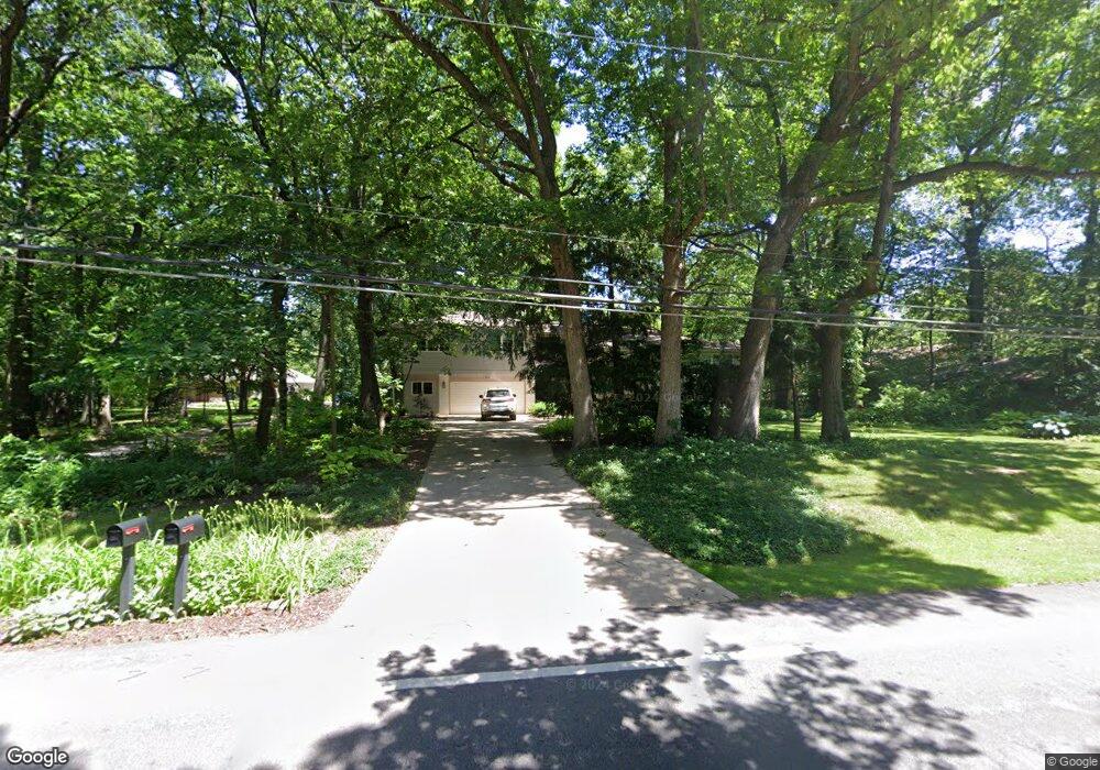
2400 Lisson Rd Naperville, IL 60565
Whalon Lake NeighborhoodEstimated Value: $620,375 - $1,008,000
Studio
1
Bath
2,222
Sq Ft
$356/Sq Ft
Est. Value
About This Home
This home is located at 2400 Lisson Rd, Naperville, IL 60565 and is currently estimated at $792,094, approximately $356 per square foot. 2400 Lisson Rd is a home located in Will County with nearby schools including River Woods Elementary School, Madison Jr High School, and Naperville Central High School.
Ownership History
Date
Name
Owned For
Owner Type
Purchase Details
Closed on
Sep 3, 1999
Sold by
Youtsey Roger F and Youtsey Deborah A
Bought by
Roger F & Deborah A Youtsey Living Trust
Current Estimated Value
Create a Home Valuation Report for This Property
The Home Valuation Report is an in-depth analysis detailing your home's value as well as a comparison with similar homes in the area
Home Values in the Area
Average Home Value in this Area
Purchase History
| Date | Buyer | Sale Price | Title Company |
|---|---|---|---|
| Roger F & Deborah A Youtsey Living Trust | -- | -- |
Source: Public Records
Tax History
| Year | Tax Paid | Tax Assessment Tax Assessment Total Assessment is a certain percentage of the fair market value that is determined by local assessors to be the total taxable value of land and additions on the property. | Land | Improvement |
|---|---|---|---|---|
| 2024 | $11,323 | $199,480 | $44,307 | $155,173 |
| 2023 | $11,323 | $179,485 | $39,866 | $139,619 |
| 2022 | $11,044 | $179,794 | $39,934 | $139,860 |
| 2021 | $10,281 | $168,110 | $37,339 | $130,771 |
| 2020 | $9,891 | $162,582 | $36,111 | $126,471 |
| 2019 | $9,522 | $154,840 | $34,391 | $120,449 |
| 2018 | $9,057 | $147,291 | $32,916 | $114,375 |
| 2017 | $8,707 | $139,612 | $31,200 | $108,412 |
| 2016 | $8,394 | $132,900 | $29,700 | $103,200 |
| 2015 | $9,095 | $127,500 | $28,500 | $99,000 |
| 2014 | $9,095 | $127,500 | $28,500 | $99,000 |
| 2013 | $9,095 | $127,500 | $28,500 | $99,000 |
Source: Public Records
Map
Nearby Homes
- 2250 Lisson Rd
- 25 W 500 Royce Rd
- 2243 Aster Ct
- 2103 Primrose Ln
- 561 Boardman Cir
- 1333 Purdue Ave
- 1406 River Oak Dr
- 2408 Barkdoll Rd
- 1909 Montclair Dr
- 460 Springwood Ln
- 4 Ridge Ct Unit 1
- 1864 Slippery Rock Rd
- VACANT W Boughton Rd
- 845 Barclay Dr
- 1007 River Oak Dr
- 345 Redwing Dr Unit 5
- 662 Sundance Dr
- 642 Sundance Dr
- 191 Cassin Rd
- 1042 Churchill Dr Unit 12
- 1500 Black Walnut Ct
- 10S300 State Route 53
- 10S300 State Route 53
- 1508 Black Walnut Ct
- 2332 Lisson Rd
- 1532 Black Walnut Ct
- 2405 Lisson Rd
- 1516 Black Walnut Ct
- 2324 Lisson Rd
- 2424 Lisson Rd
- 2425 Lisson Rd
- 1524 Black Walnut Ct
- 1524 Blackberry Ct
- 2316 Bill Ct
- 1532 Blackberry Ct
- 2341 Trillium Ln
- 2401 Trillium Ln
- 2504 Lisson Rd
- 2333 Trillium Ln
- 2349 Trillium Ln
Your Personal Tour Guide
Ask me questions while you tour the home.